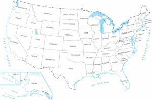
United States Bright Color Map
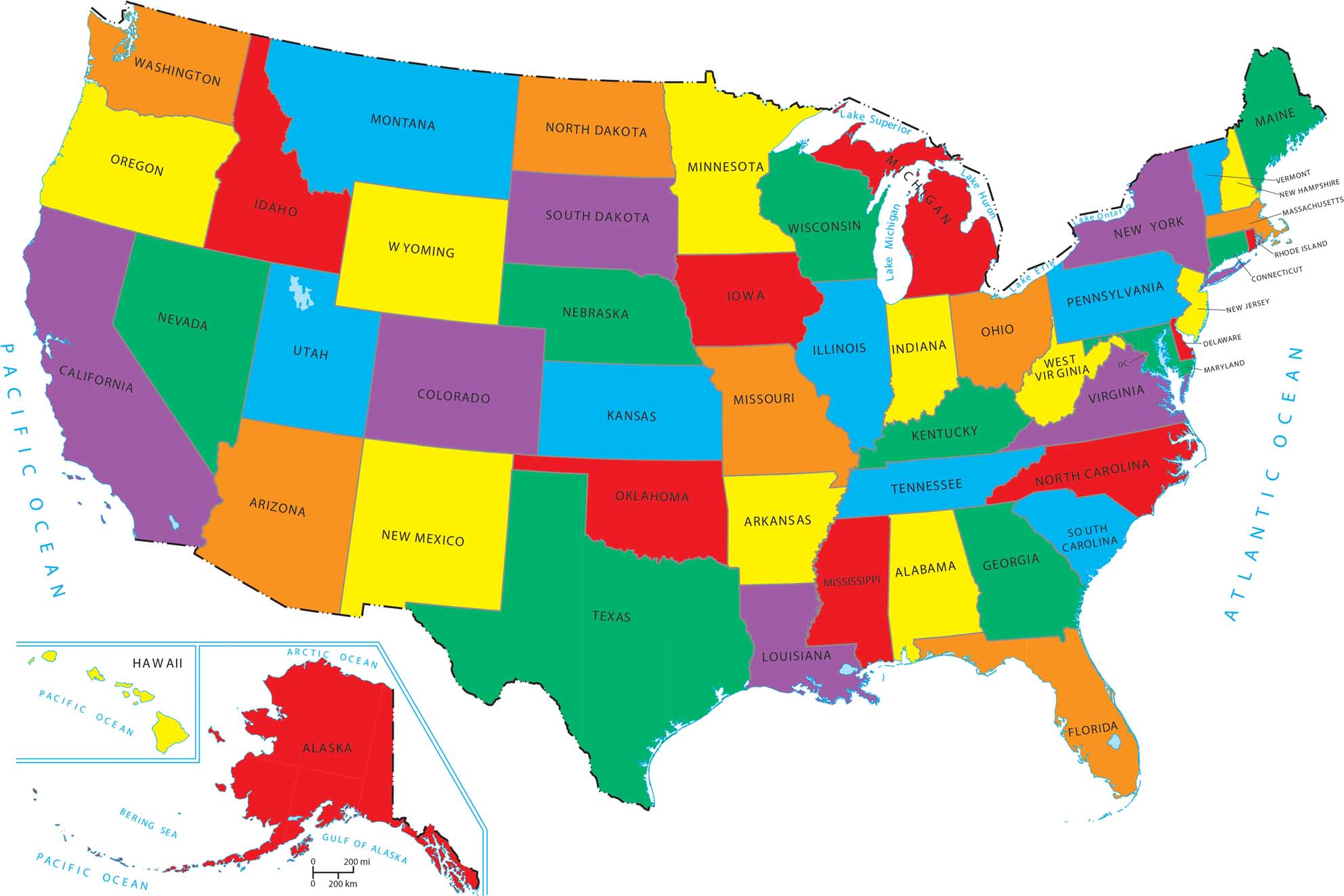
Our bright-colored map of the United State uses vivid, high-contrast colors. Each state stands out clearly from its neighbors. Check out how the different colors help you spot the tiny states in the East compared to the massive states in the West.
Map Information
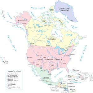
Country Maps
Discover the lines that define our limits