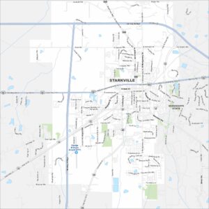
Map of Starkville, Mississippi
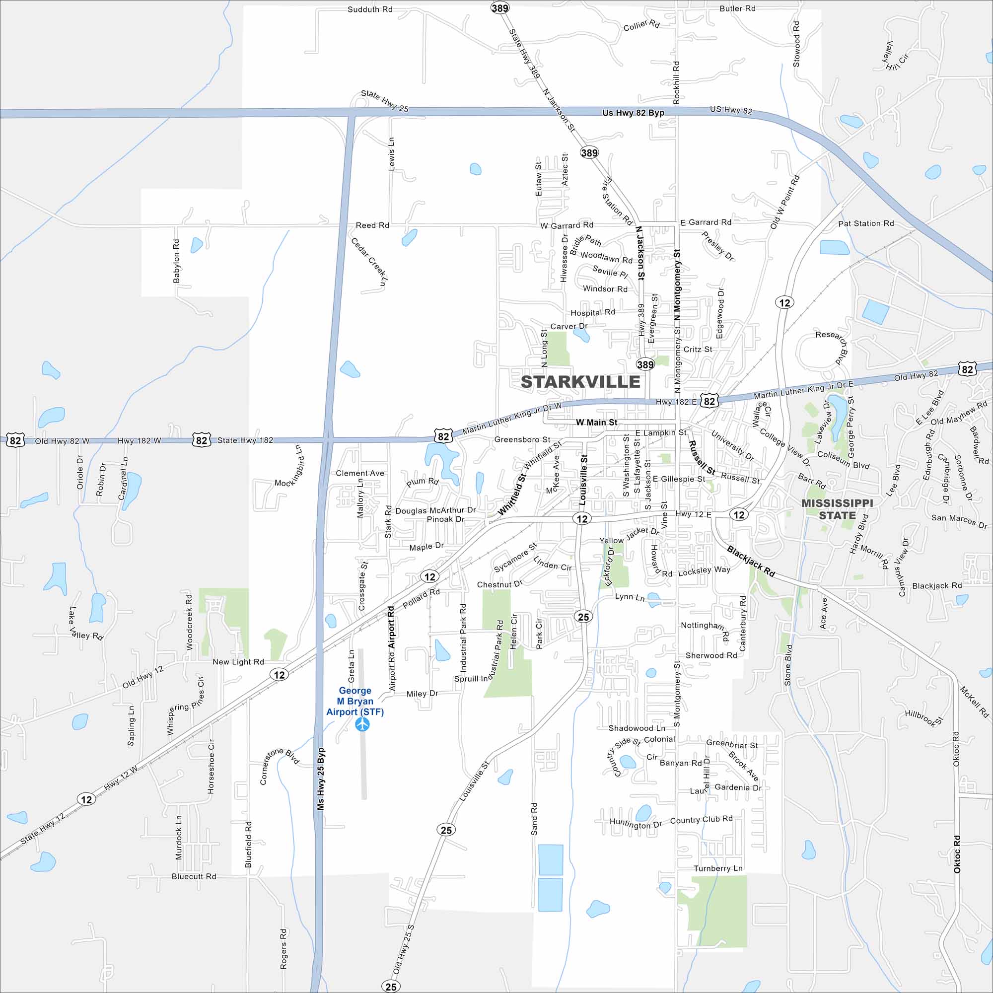
Our map of Starkville shows the home of Mississippi State University. College life shapes the restaurants, sports, and culture here.
Map Information
On the Map
Interstates/Highways: US Hwy 82, State Hwy 12, State Hwy 25, State Hwy 389 Major Roads: Martin Luther King Jr Dr, Main St, Russell St, University Dr, Montgomery St, Louisville St, Jackson St, Garrard Rd, Hospital Rd, Blackjack Rd, Academy Rd, Airport Rd, Bardwell Rd, Poor House Rd, Southlea Rd, Locksley Way, Sherwood Rd, Greenbriar St, Country Club Rd, Bluecutt Rd Airports: George M Bryan Airport (STF) Nearby Communities: Mississippi StateMississippi State Maps
Explore maps of Mississippi’s towns, rivers, and roads.


Mississippi City Maps
Discover Mississippi with our city maps