Minnesota National Parks and Forests Map
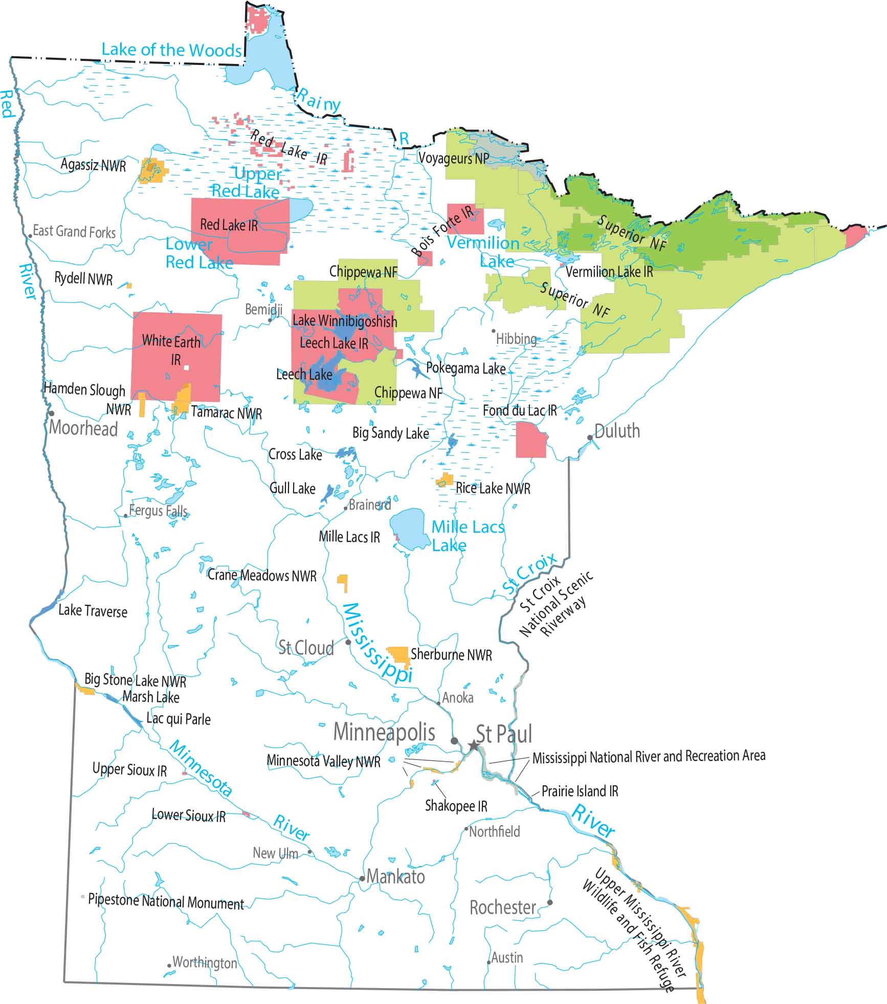
Minnesota stretches from prairie in the south to thick forests in the north. Superior National Forest sits along Lake Superior’s shore. Voyageurs National Park protects the lake country on the Canadian border. Chippewa National Forest spreads across the north-central lake region.
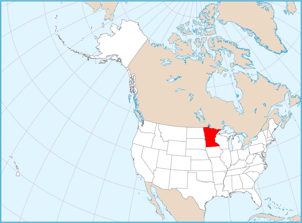
Map Information
On the Map
Parks, Forests and Federal Lands
National Parks (NP): Voyageurs National Park National Forests (NF): Chippewa NF, Superior NF National Wildlife Refuges (NWR): Agassiz NWR, Big Stone Lake NWR, Crane Meadows NWR, Hamden Slough NWR, Lake Traverse, Minnesota Valley NWR, Rice Lake NWR, Rydell NWR, Sherburne NWR, Tamarac NWR Other Landmark Sites: Mississippi National River and Recreation Area, Pipestone National Monument, Saint Croix National Scenic Riverway, Upper Mississippi River Wildlife and Fish Refuge Indian Reserves (IR): Bois Forte IR, Fond du Lac IR, Grand Portage IR, Leech Lake IR, Lower Sioux IR, Mille Lacs IR, Prairie Island IR, Red Lake IR, Red Lake IR, Shakopee IR, Upper Sioux IR, Vermilion Lake IR, White Earth IRLand Information
State Capital: St. Paul Major Cities: Bloomington, Duluth, Minneapolis, Rochester Cities and Towns: Anoka, Austin, Bemidji, Brainerd, East Grand Forks, Fergus Falls, Hibbing, Mankato, Moorhead, New Ulm, Northfield, St. Cloud, Worthington Lakes and Reservoirs: Lake of the Woods, Lake Superior, Lake Traverse, Lower Red Lake, Mille Lacs Lake, Rainy Lake, Upper Red Lake, Vermilion Lake Rivers and Streams: Crow River, Minnesota River, Mississippi River, Red River, Roseau River, St. Croix RiverMinnesota State Maps
Explore every lake in our state maps of Minnesota


