Map of Steamboat Springs, Colorado
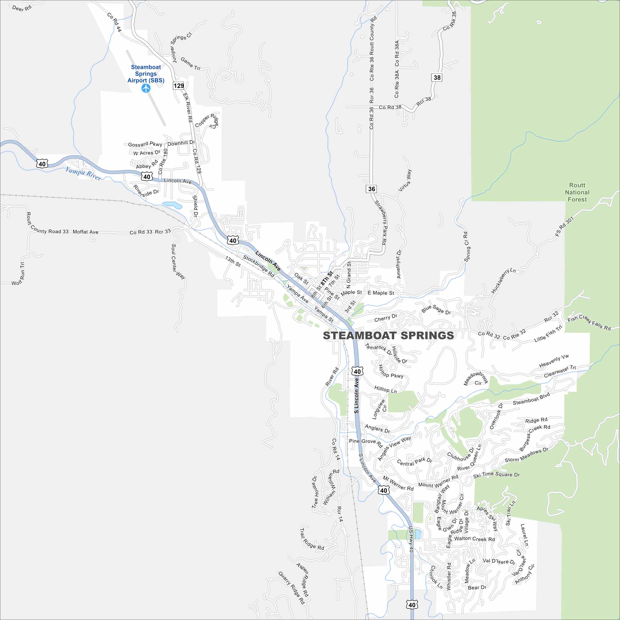
Our map of Steamboat Springs highlights its mountain setting. This city is located in northern Colorado’s Yampa Valley. In summer, the Yampa River trail is just as popular.
Colorado State Maps
Browse Colorado with our detailed state maps


Map Information
On the Map
Interstates/Highways: US Hwy 40, State Hwy 129 Major Roads: Lincoln Ave, Mt Werner Rd, Steamboat Blvd, Fish Creek Falls Rd, River Rd, 13th St, Oak St, Pine St, Hilltop Ln, Pine Grove Rd, Walton Creek Rd, Whistler Rd, Burgess Creek Rd, Elk River Rd, Twentymile Rd, Anglers Dr, Central Park Dr, Clubhouse Dr, Mount Werner Cir, Medicine Springs Dr Airports: Steamboat Springs Airport (SBS) Major Rivers: Yampa River Parks and Preserves: Routt National ForestColorado City Maps
Here are maps of Colorado’s urban areas


