Lowell Observatory Map
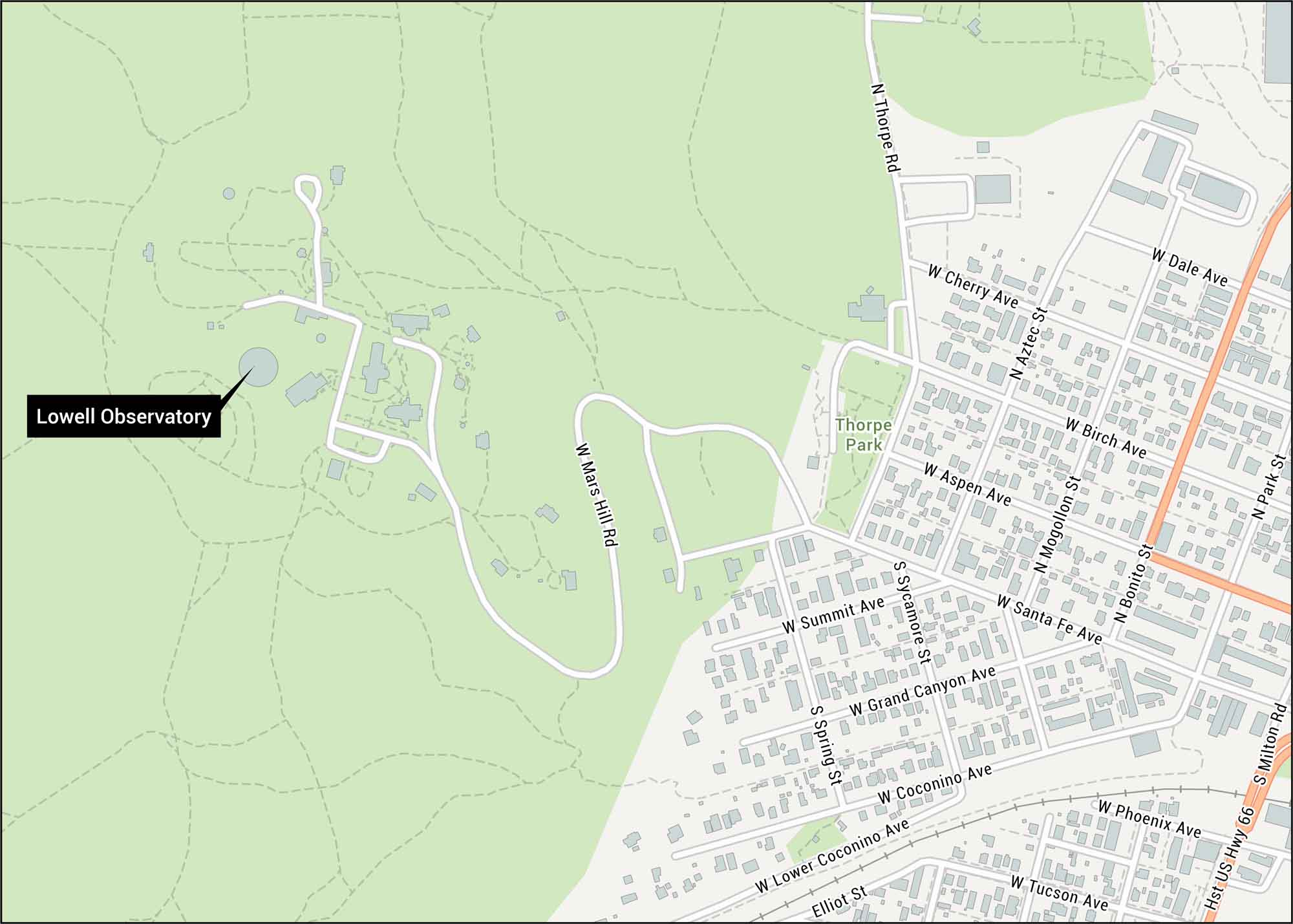
Flagstaff’s Mars Hill Road winds up to this discovery site of Pluto. Our map shows West Route 66 and nearby roads to the Lowell Observatory. See for yourself where astronomers unlocked secrets of the cosmos.
Map Information
On the Map
Highways: US Hwy 66 Major Roads: Milton Rd, Mars Hill Rd, Thorpe Rd, Santa Fe Ave, Grand Canyon Ave, Coconino Ave, Tucson Ave, Phoenix Ave, Summit Ave, Birch Ave, Aspen Ave, Dale Ave, Cherry Ave, Aztec St, Mogollon St, Bonito St, Park St, Spring St, Sycamore St, Elliot St Parks/Forests: Thorpe ParkTourist Maps in Arizona
Discover all the prime locations with our tourist maps.