Phoenix Sky Harbor Airport Map
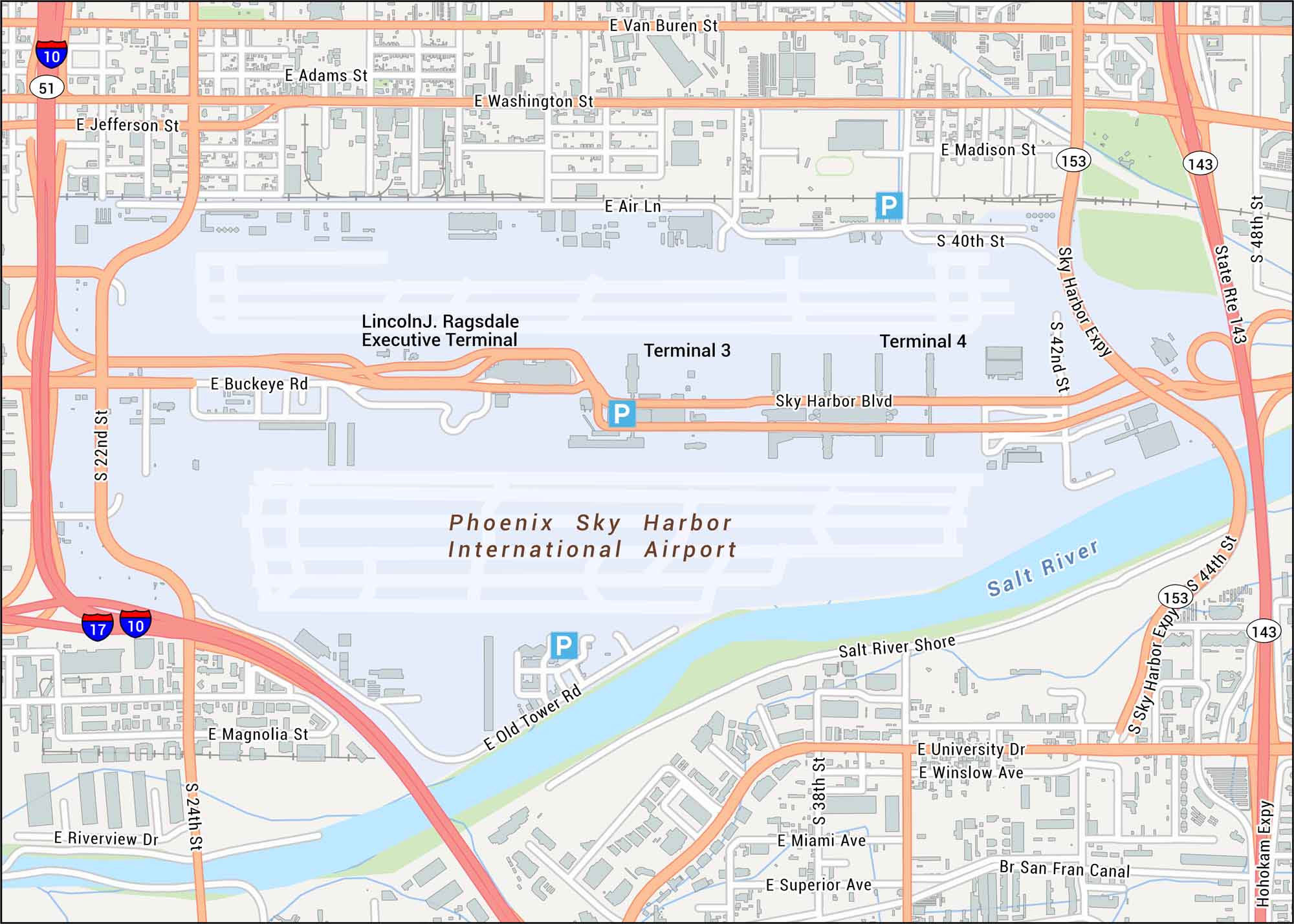
Familiarize yourself with Phoenix Sky Harbor using our map with terminals and runways. We’ve also marked down 44th Street, Washington Street, I-10 and Loop 202.
Map Information
On the Map
Interstates/Highways: I-10, I-17, State Rte 51, State Rte 153, State Rte 143 Major Roads: Sky Harbor Blvd, Washington St, Jefferson St, Van Buren St, Buckeye Rd, 44th St, 48th St, 24th St, 40th St, 42nd St, 38th St, 22nd St, University Dr, Sky Harbor Expy, Hohokam Expy, Madison St, Adams St, Magnolia St, Riverview Dr, Old Tower Rd Rivers/Canals: Salt River, Br San Fran Canal Other Landmarks: Terminal 3, Terminal 4, Lincoln J. Ragsdale Executive Terminal, Salt River ShoreTourist Maps in Arizona
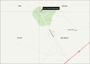
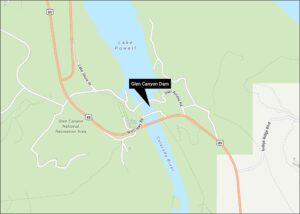
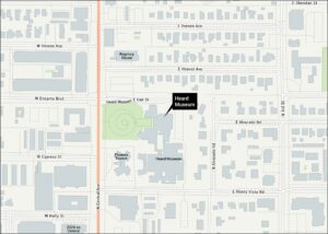
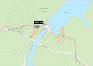
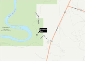
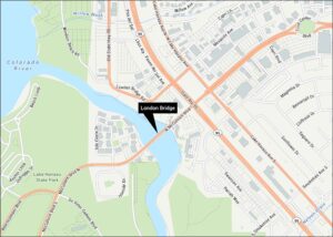
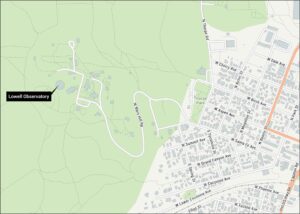
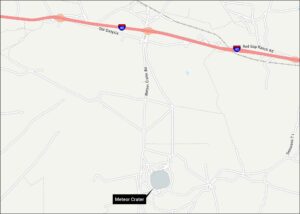
Discover all the prime locations with our tourist maps.