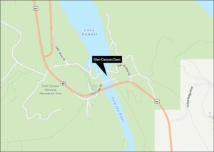
Horseshoe Bend Map
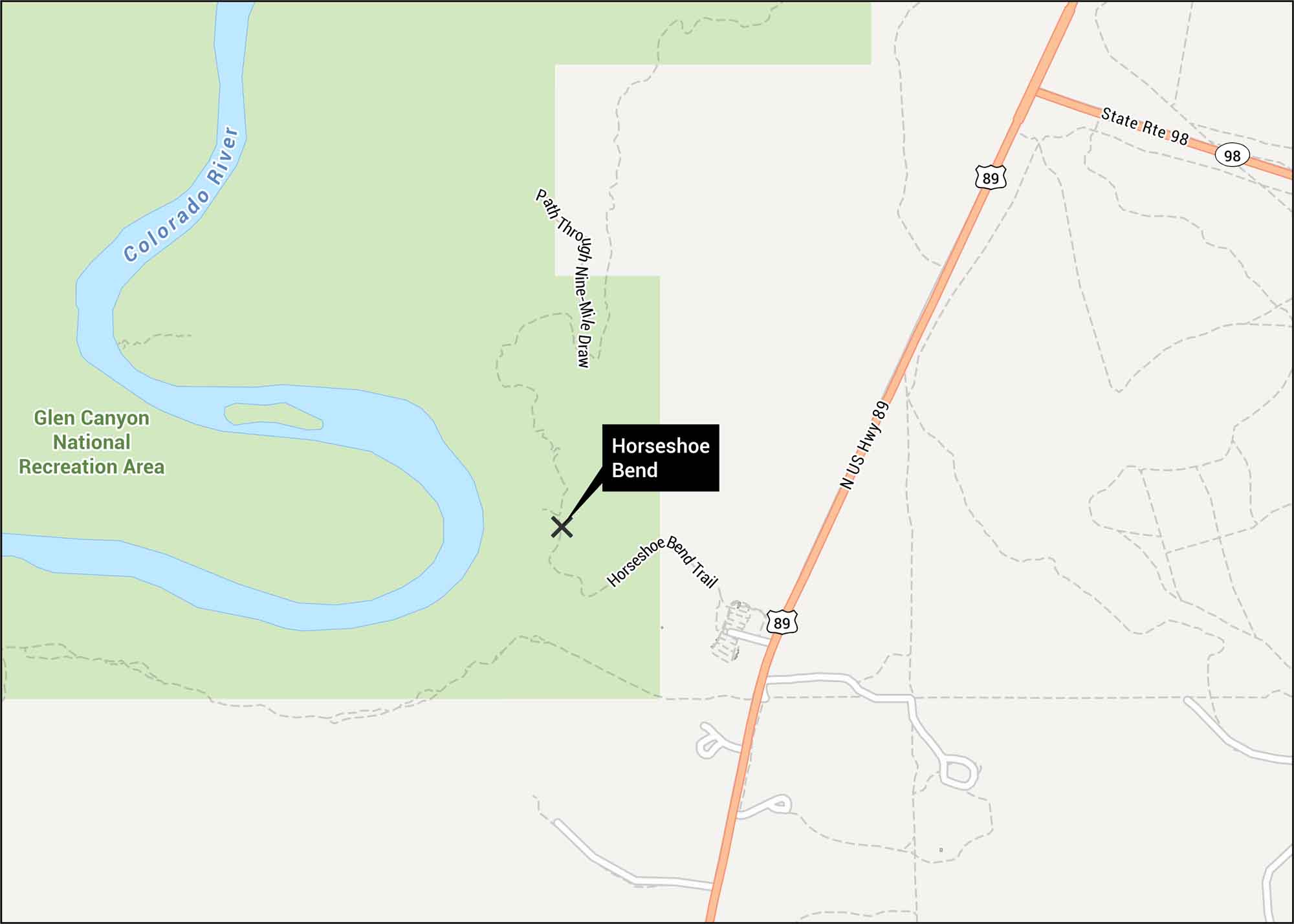
Horseshoe Bend often amazes every visitor. Located in Arizona, this is where the Colorado River curves in the shape of a horseshoe. Our map shows the trails, roads and curve of the river.
Map Information
On the Map
Highways: US Hwy 89, State Rte 98 Major Roads: Horseshoe Bend Trail, Path Through Nine-Mile Draw Rivers/Lakes: Colorado River Parks/Forests: Glen Canyon National Recreation AreaTourist Maps in Arizona
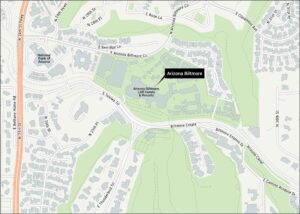
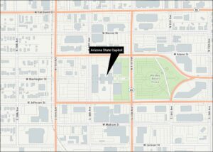
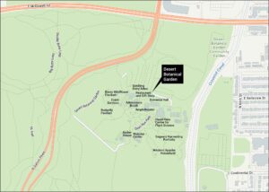
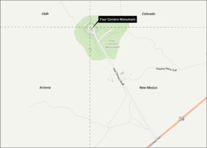
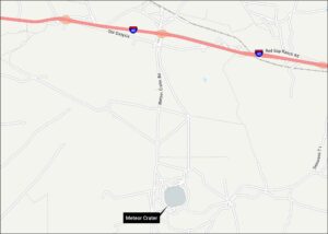
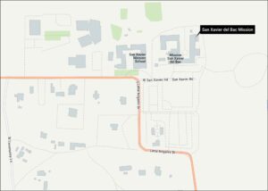
Discover all the prime locations with our tourist maps.