Map of The Colony, Texas
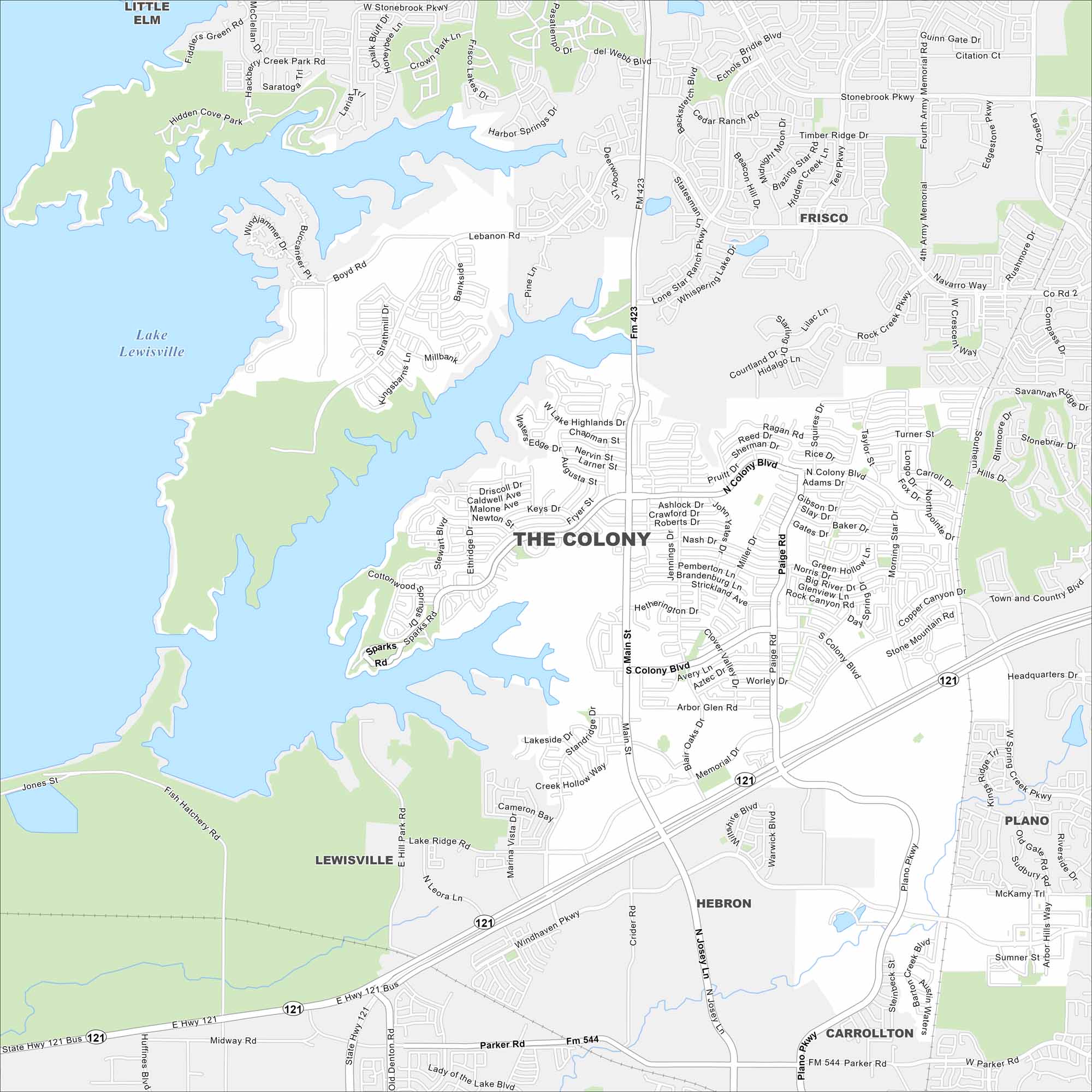
Our map of The Colony shows you around this growing Dallas suburb. It’s home to lakeside parks, family neighborhoods, and the Grandscape development.
Map Information
On the Map
Interstates/Highways: State Rte 121, State Rte 423 Major Roads: Sam Rayburn Tollway, Main St, Josey Ln, Paige Rd, Colony Blvd, Memorial Dr, Windhaven Pkwy, Plano Pkwy, Parker Rd, Morning Star Dr, Nash Dr, Blair Oaks Dr, South Colony Blvd, North Colony Blvd, Squires Dr, Ethridge Dr, Stewart Blvd, Lebanon Rd, Shoreline Dr, Witt Rd Lakes and Reservoirs: Lake Lewisville Nearby Communities: Frisco, Plano, Carrollton, Hebron, Lewisville, Little ElmTexas State Maps
Scan our maps of the massive southern state of Texas.


City Maps of Texas
Explore our map collection of Texas cities.


