Map of Tomball, Texas
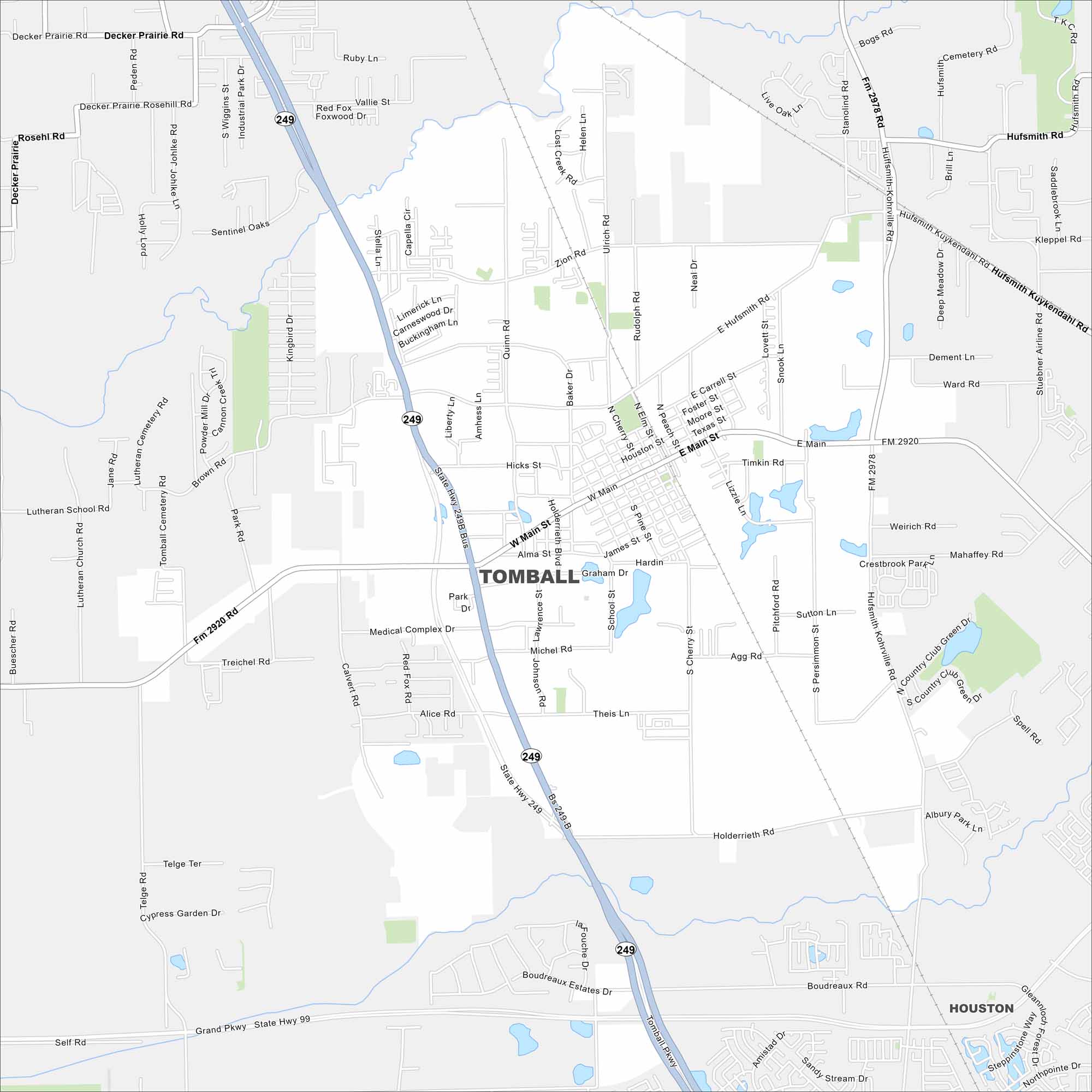
Our road map of Tomball shows this small town north of Houston. It’s known for its German roots, festivals, and welcoming community.
Map Information
On the Map
Interstates/Highways: State Rte 99, State Rte 249 Major Roads: Tomball Pkwy, Grand Pkwy, Main St, Medical Complex Dr, Holderrieth Rd, Hufsmith Rd, Hufsmith-Kohrville Rd, Boudreaux Rd, Zion Rd, Cherry St, Pine St, School St, Lawrence St, Johnson Rd, Agg Rd, Hicks St, Baker Dr, Quinn Rd, Brown Rd, Theis Ln Nearby Communities: Houston, Decker PrairieTexas State Maps
Scan our maps of the massive southern state of Texas.


City Maps of Texas
Explore our map collection of Texas cities.


