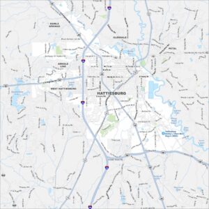
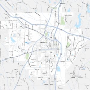
Map of Tupelo, Mississippi
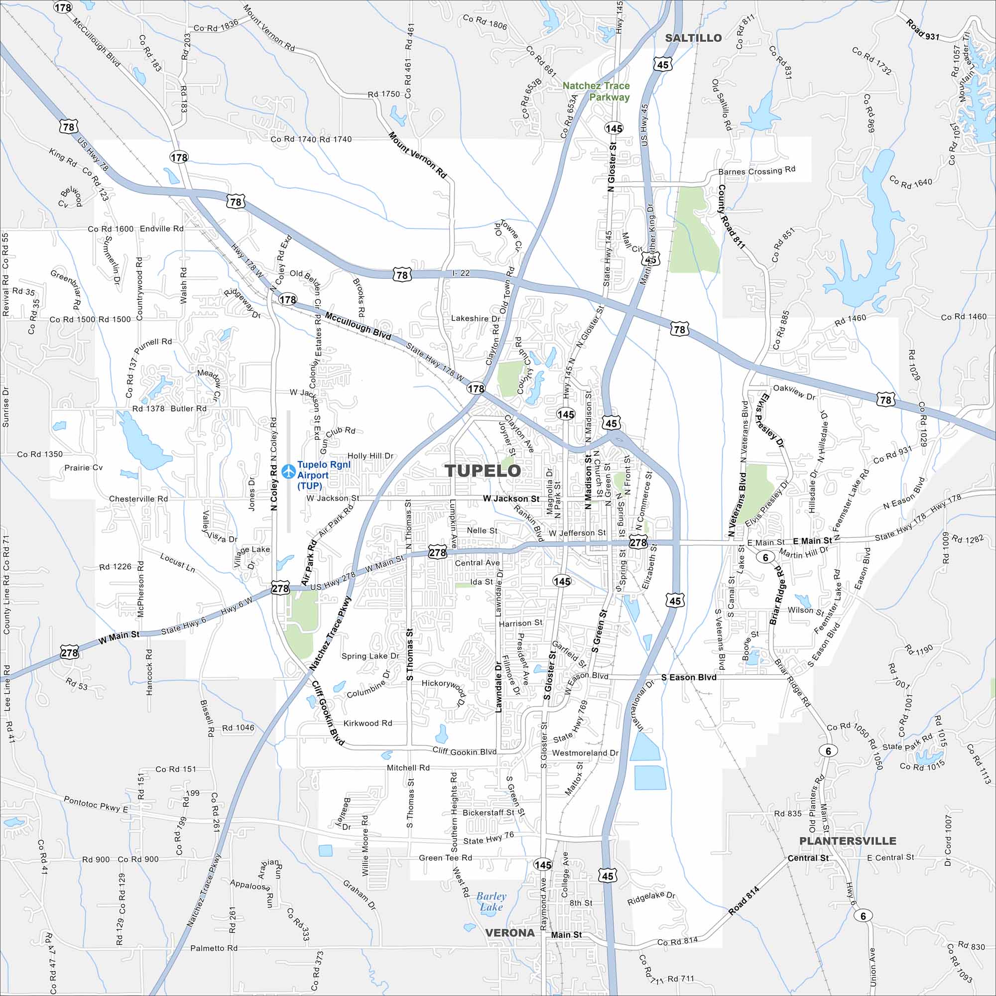
Our map of Tupelo shows you around Elvis Presley’s birthplace. The city is a North Mississippi hub with music history and a small-town feel.
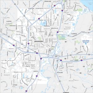
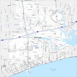
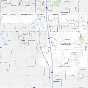
Map Information
On the Map
Interstates/Highways: I-22, US Hwy 78, US Hwy 45, US Hwy 278, State Hwy 6, State Hwy 145, State Hwy 178, State Hwy 76 Major Roads: Main St, Gloster St, Jackson St, Crosstown Ave, Commerce St, Madison St, Green St, Veterans Blvd, Eason Blvd, Cliff Gookin Blvd, Mitchell Rd, Air Park Rd, Coley Rd, McCullough Blvd, Barnes Crossing Rd, North Hills Blvd, Thomas St, Lumpkin Ave, Jefferson St, Franklin St Airports: Tupelo Rgnl Airport (TUP) Lakes and Reservoirs: Barley Lake Parks and Preserves: Natchez Trace Parkway Nearby Communities: Saltillo, Plantersville, VeronaMississippi State Maps
Explore maps of Mississippi’s towns, rivers, and roads.


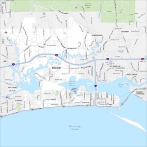
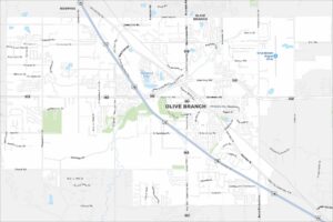
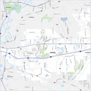
Mississippi City Maps
Discover Mississippi with our city maps