Astoria Map, New York
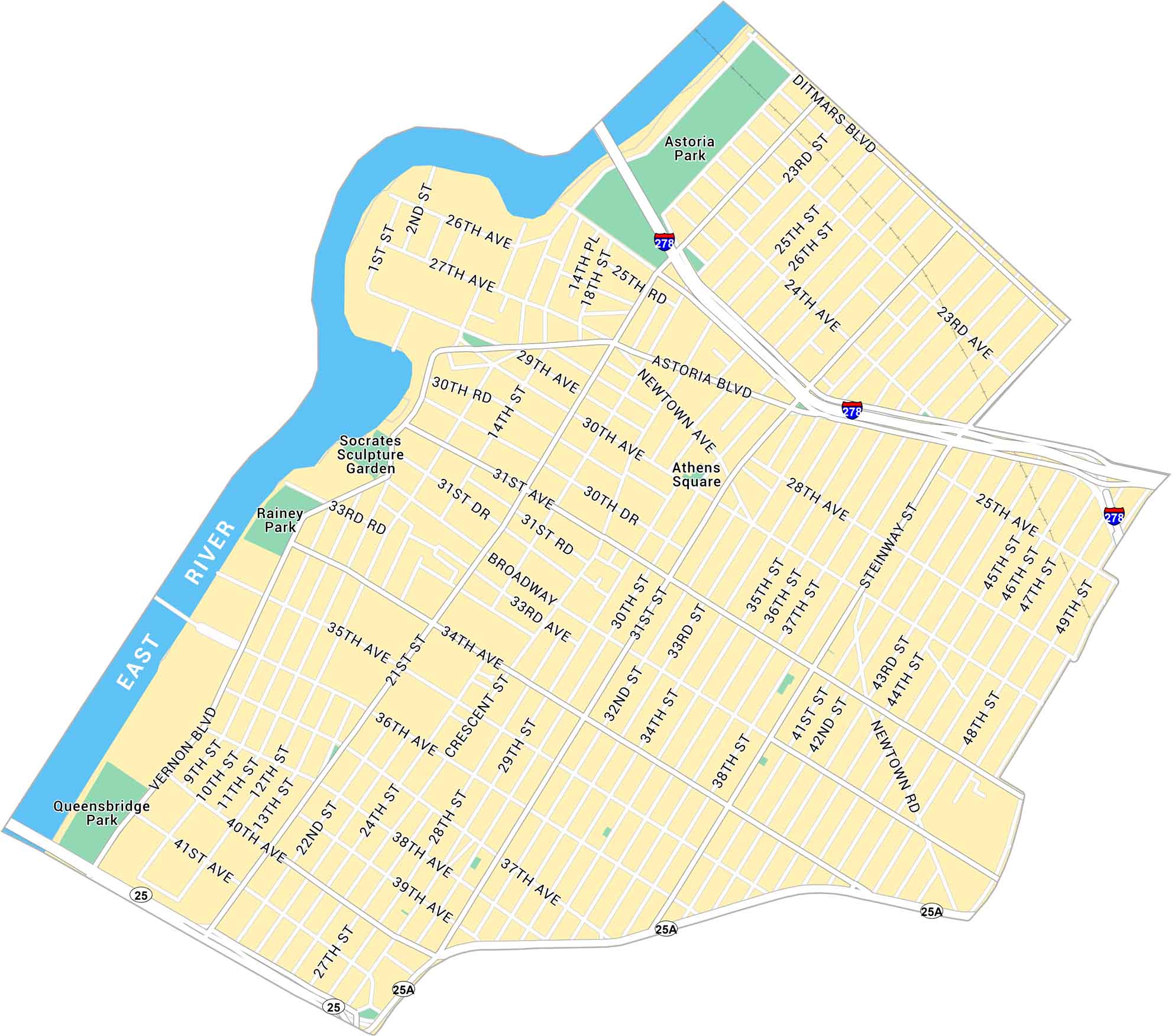
Our map of Astoria shows the road and highways near the East River. It’s one of Queens’ most diverse and lively neighborhoods.
Map Information
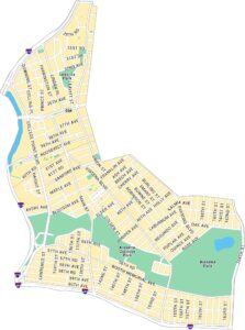
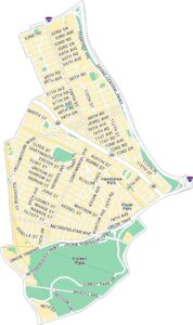
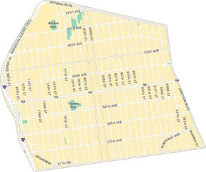
Queens Neighborhood Maps
See our neighborhood maps for a closer look of the city.
On the Map
Interstates/Highways: I-278 Major Roads: Astoria Blvd, Broadway, Steinway St, Vernon Blvd, 21st St, 31st St, 30th Ave, Ditmars Blvd, 36th Ave, 35th Ave, 20th Ave, 31st Ave, Newtown Ave, 43rd St, 48th St, 21st Ave, 28th Ave, 34th Ave, 24th Ave, 14th St Rivers: East River Parks: Astoria Park, Socrates Sculpture Garden, Rainey Park, Queensbridge Park, Athens SquareCity Maps of New York
Here are the city maps that define New York


