Culver West Map, Culver City
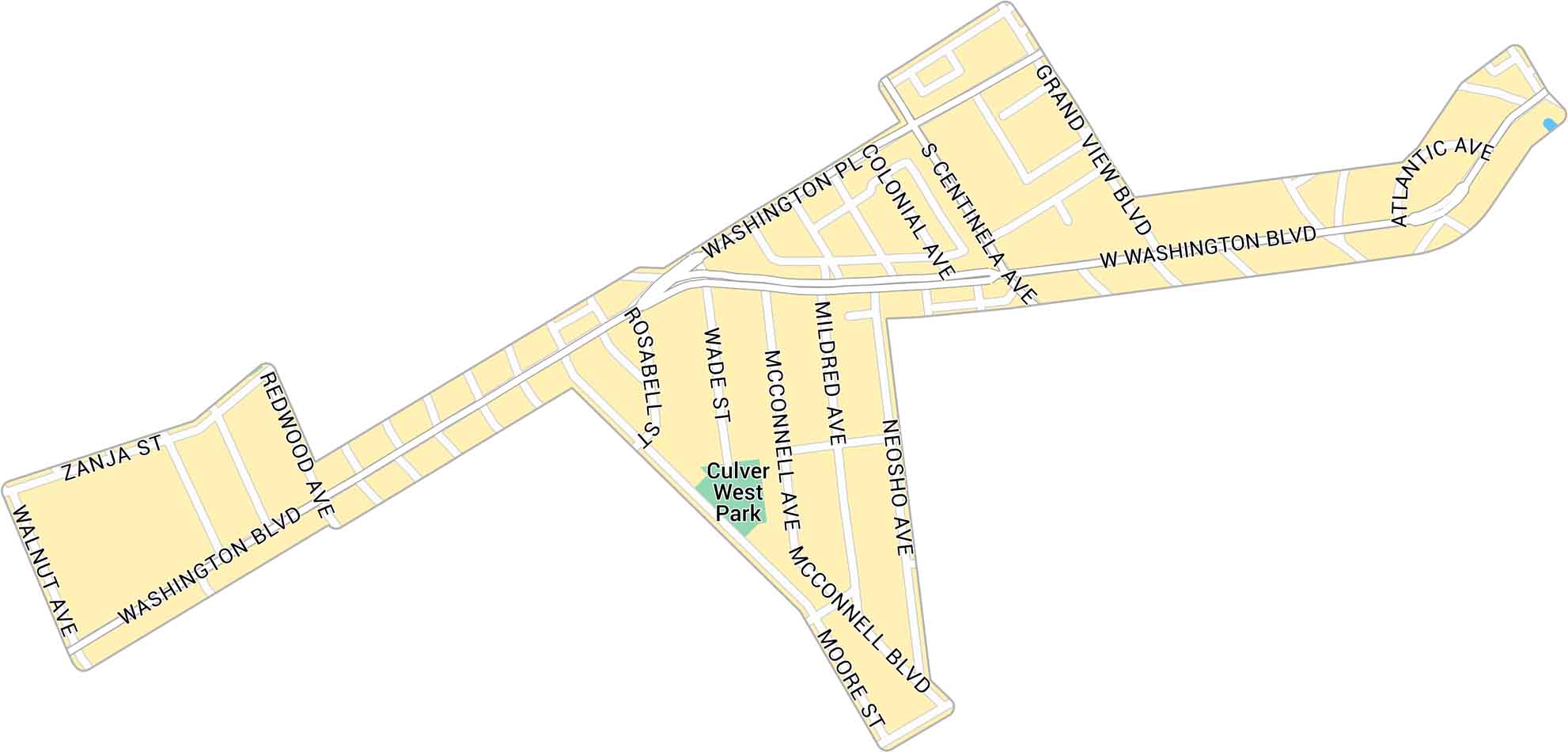
Our map of Culver West shows the streets and parks tucked into the west side of Culver City. It includes neighborhood roads and green spaces. All are close to the beach and Marina del Rey.
Map Information
On the Map
Major Roads: Washington Blvd, Grand View Blvd, Atlantic Ave, Washington Pl, Centinela Ave, McConnell Blvd, Redwood Ave, Zanja St, Walnut Ave, Rosabell St, Wade St, McConnell Ave, Mildred Ave, Neosho Ave, Moore St, Colonial Ave Parks: Culver West ParkCalifornia City Maps
Here are detailed maps of California


