Downtown Madison Map
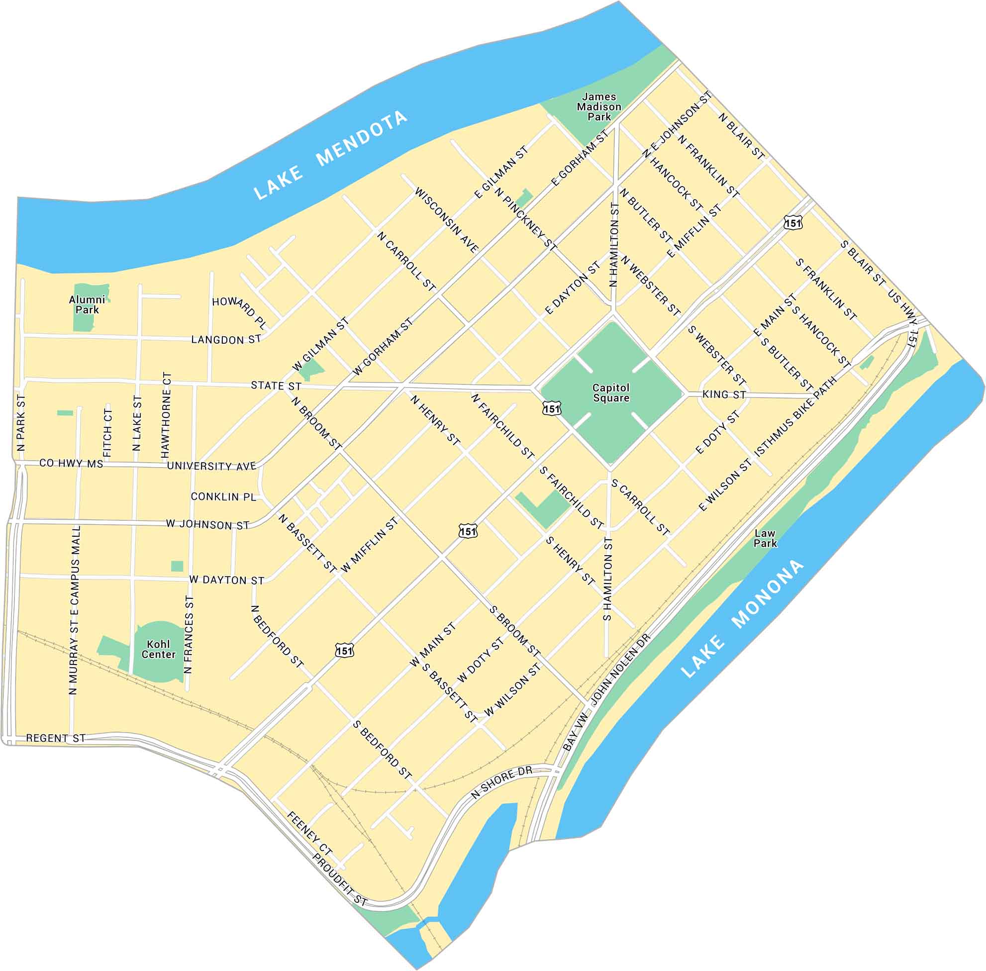
Our map of Downtown Madison shows the isthmus between Lake Mendota and Lake Monona. It lays out the Capitol Square, main streets, and parks. It’s a compact, scenic center surrounded by lakes on both sides.
Map Information
On the Map
Interstates/Highways: US Hwy 151 Major Roads: University Ave, Washington Ave, State St, Johnson St, Main St, Gorham St, Dayton St, Broom St, Bassett St, Bedford St, Wilson St, Doty St, Hamilton St, Fairchild St, Henry St, Carroll St, Webster St, Butler St, Hancock St, Franklin St Lakes/Rivers: Lake Mendota, Lake Monona Parks: James Madison Park, Alumni Park, Law Park, Capitol Square Landmarks: Kohl CenterCity Maps of Wisconsin
See our Wisconsin maps designed for clarity.


