Downtown Sacramento Map
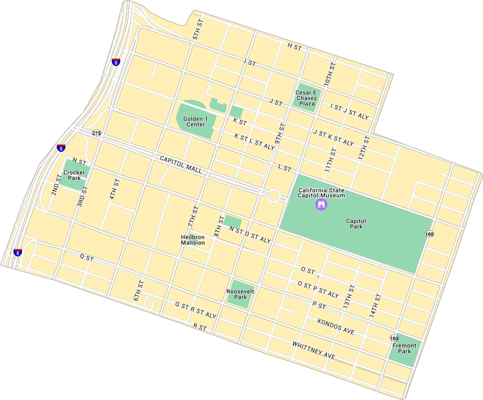
Explore Downtown Sacramento with our map, which shows the stretch between the river and Capitol Park. Follow its parks and routes leading to Old Sacramento.
Map Information
On the Map
Interstates/Highways: I-5, State Rte 275, State Rte 160 Major Roads: Capitol Mall, J St, K St, L St, Capitol Ave, P St, Q St, R St, H St, I St, 3rd St, 5th St, 7th St, 9th St, 10th St, 12th St, 15th St, 16th St, 2nd St, 4th St Parks: Capitol Park, Roosevelt Park, Fremont Park, Crocker Park, Cesar E Chavez Plaza Landmarks: California State Capitol MuseumCalifornia City Maps
Here are detailed maps of California


