Flushing Map, New York
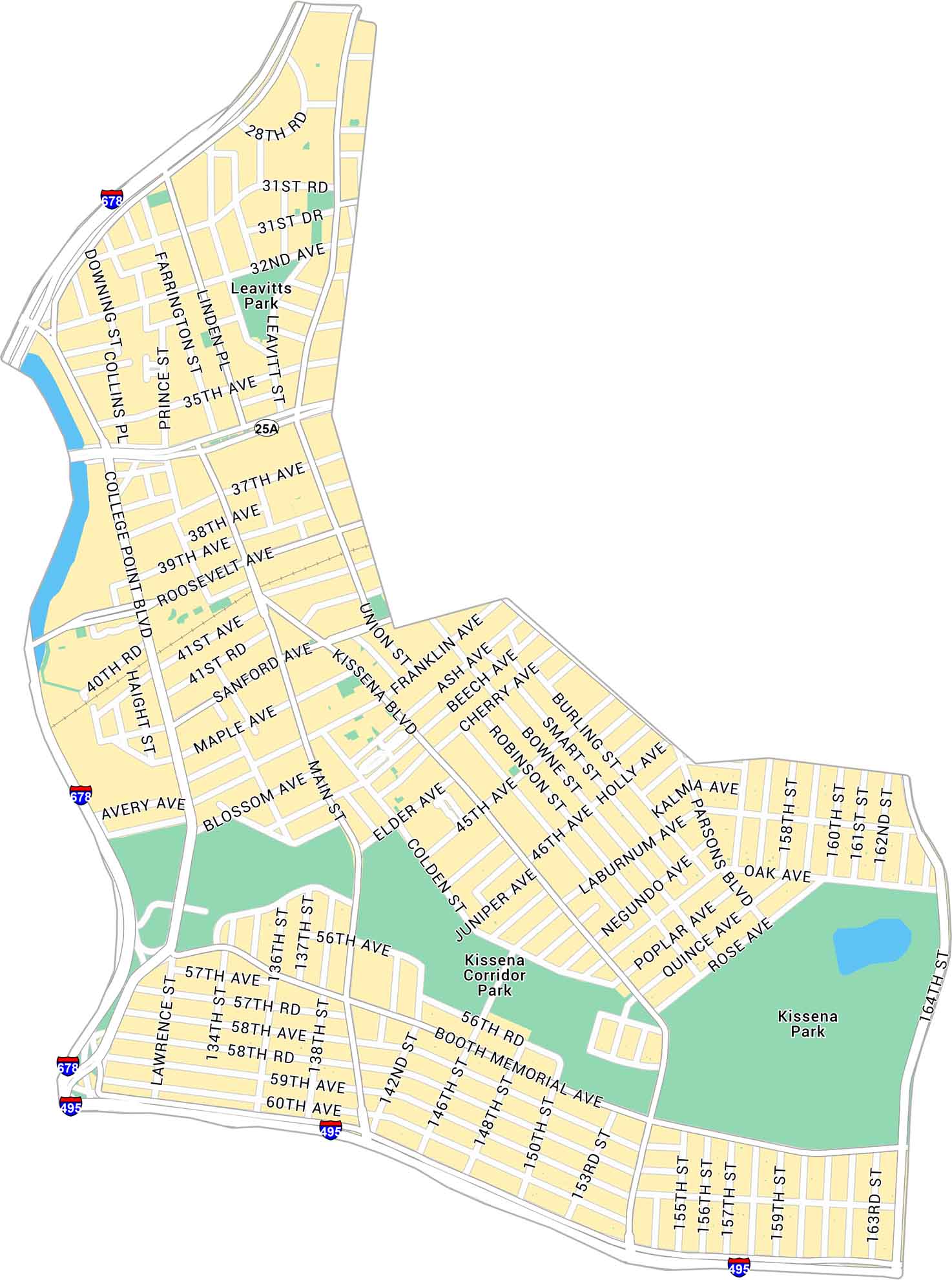
Our map of Flushing shows the busy Queens neighborhood centered around Main Street and Roosevelt Avenue. It outlines major roads and parks, serving as one of the city’s true hubs.
Map Information
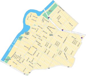
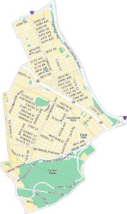
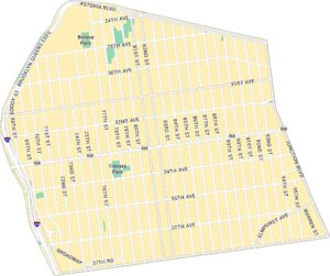
Queens Neighborhood Maps
See our neighborhood maps for a closer look of the city.
On the Map
Interstates/Highways: I-678, I-495 Major Roads: Northern Blvd, Roosevelt Ave, Main St, Union St, Kissena Blvd, College Point Blvd, Parsons Blvd, Booth Memorial Ave, Sanford Ave, 45th Ave, 164th St, 46th Ave, Oak Ave, Cherry Ave, Elder Ave, Maple Ave, 35th Ave, 32nd Ave, Franklin Ave, Bowne St Parks: Kissena Park, Kissena Corridor Park, Leavitts ParkCity Maps of New York
Here are the city maps that define New York


