Gaslamp Quarter Map, San Diego
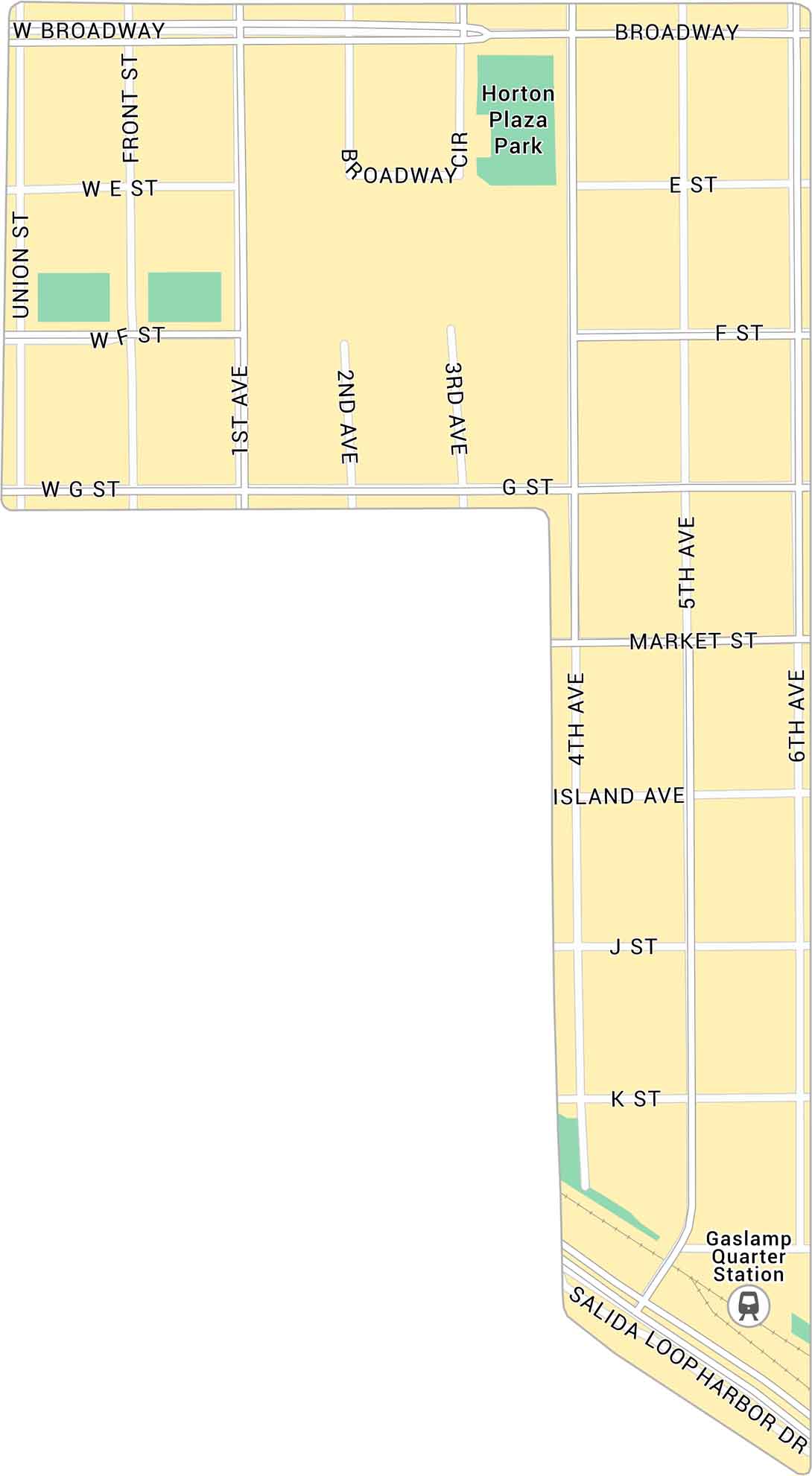
Our map of the Gaslamp Quarter shows the downtown San Diego district just north of the harbor. It’s a busy stretch packed with lights, noise, and gas lamp energy.
Map Information
On the Map
Major Roads: Market St, Broadway, Broadway Cir, Island Ave, Harbor Dr, Union St, Front St, 1st Ave, 2nd Ave, 3rd Ave, 4th Ave, 5th Ave, 6th Ave, E St, F St, G St, J St, K St, Salida Loop Parks: Horton Plaza ParkCalifornia City Maps
Here are detailed maps of California


