Map of University Park, Texas
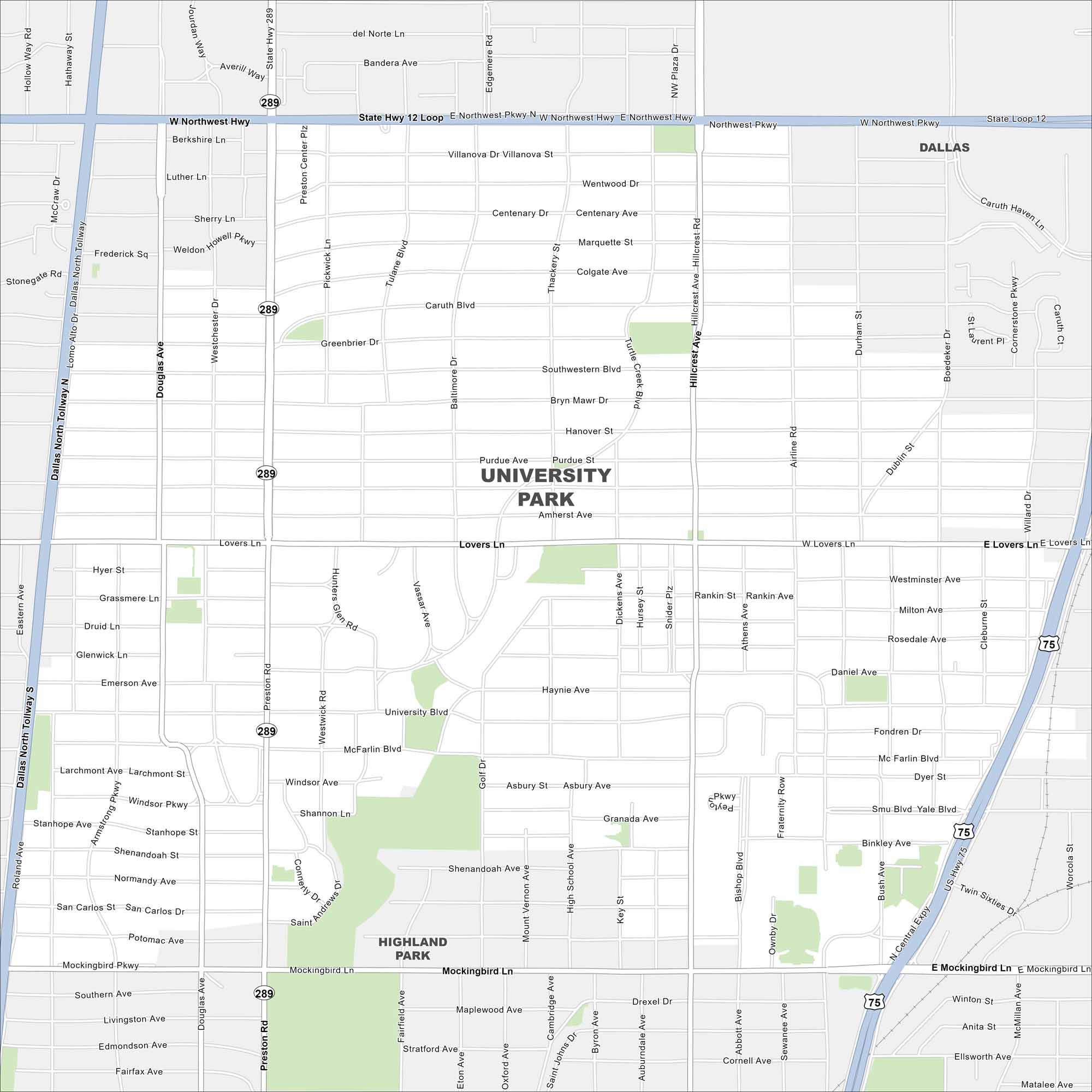
Want to see a map of University Park? This city is located in northeast Texas. It’s home to Southern Methodist University and leafy neighborhoods north of Dallas.
Map Information
On the Map
Interstates/Highways: US Hwy 75, State Rte 289 Major Roads: Northwest Hwy, Lovers Ln, Mockingbird Ln, Preston Rd, Hillcrest Ave, Dallas North Tollway, University Blvd, Airline Rd, Abbot Ave, Boedeker Dr, Douglas Ave, Pickwick Ln, Lomo Alto Dr, Thackery St, Villanova Dr, Centenary Dr, Caruth Blvd, Greenbrier Dr, Southwestern Blvd, Purdue StTexas State Maps
Scan our maps of the massive southern state of Texas.


City Maps of Texas
Explore our map collection of Texas cities.


