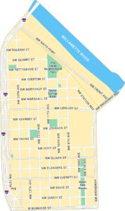
Pearl District Map, Portland
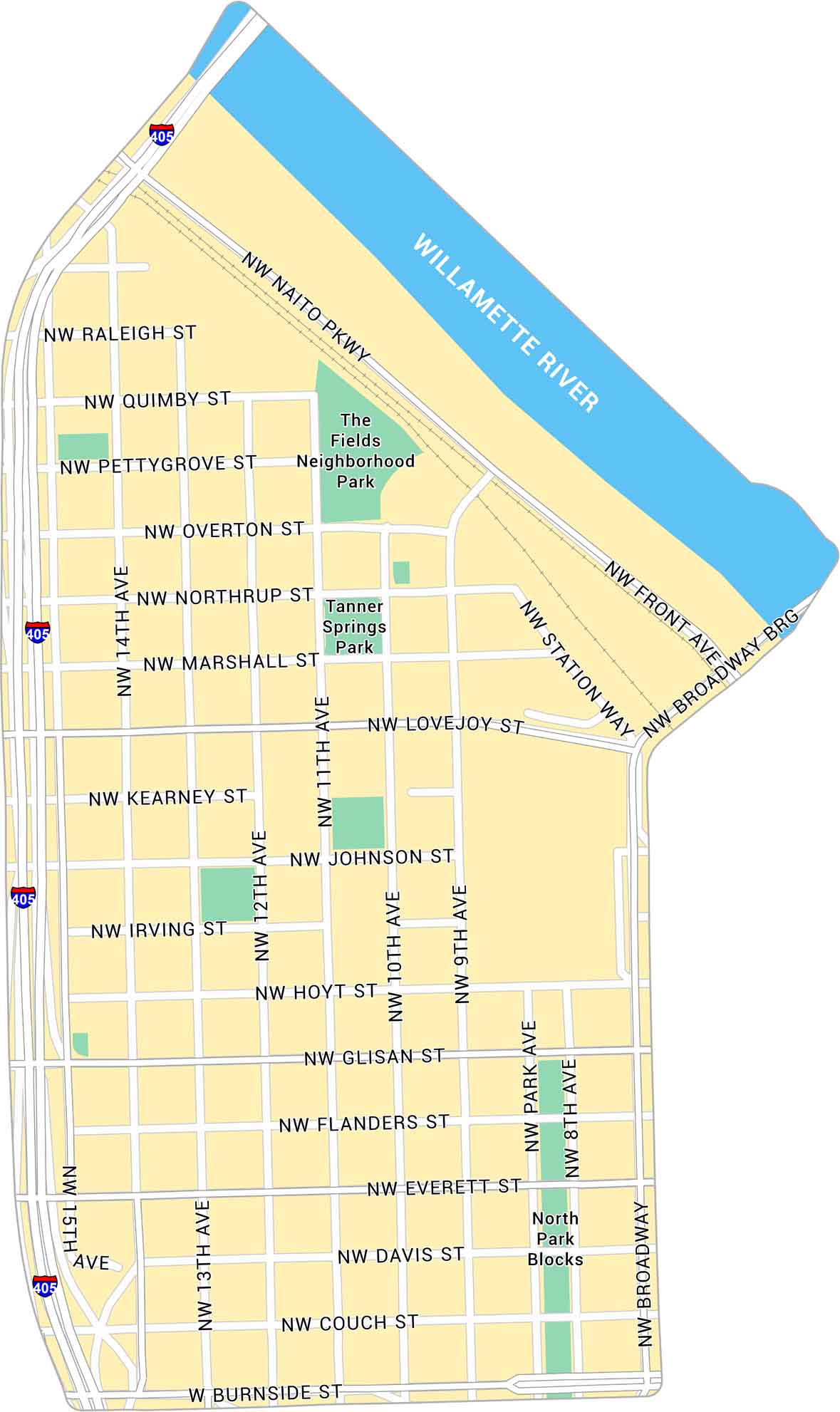
Our map of the Pearl District highlights one of Portland’s most walkable neighborhoods. It shows its streets, parks, and the rail lines that run through the area. The Willamette River forms the northern edge of the neighborhood.
Map Information
Portland Neighborhood Maps
See our neighborhood maps for a closer look of the city.
On the Map
Interstates/Highways: I-405 Major Roads: Burnside St, Naito Pkwy, Broadway, Front Ave, Station Way, 14th Ave, 11th Ave, 12th Ave, 15th Ave, 10th Ave, 9th Ave, 8th Ave, Lovejoy St, Glisan St, Everett St, Davis St, Couch St, Hoyt St, Flanders St, Johnson St Major Rivers: Willamette River Parks: The Fields Neighborhood Park, Tanner Springs Park, North Park BlocksCity Maps of Oregon
Get to know Portland and Oregon’s urban areas.


