Map of Queens Borough, New York
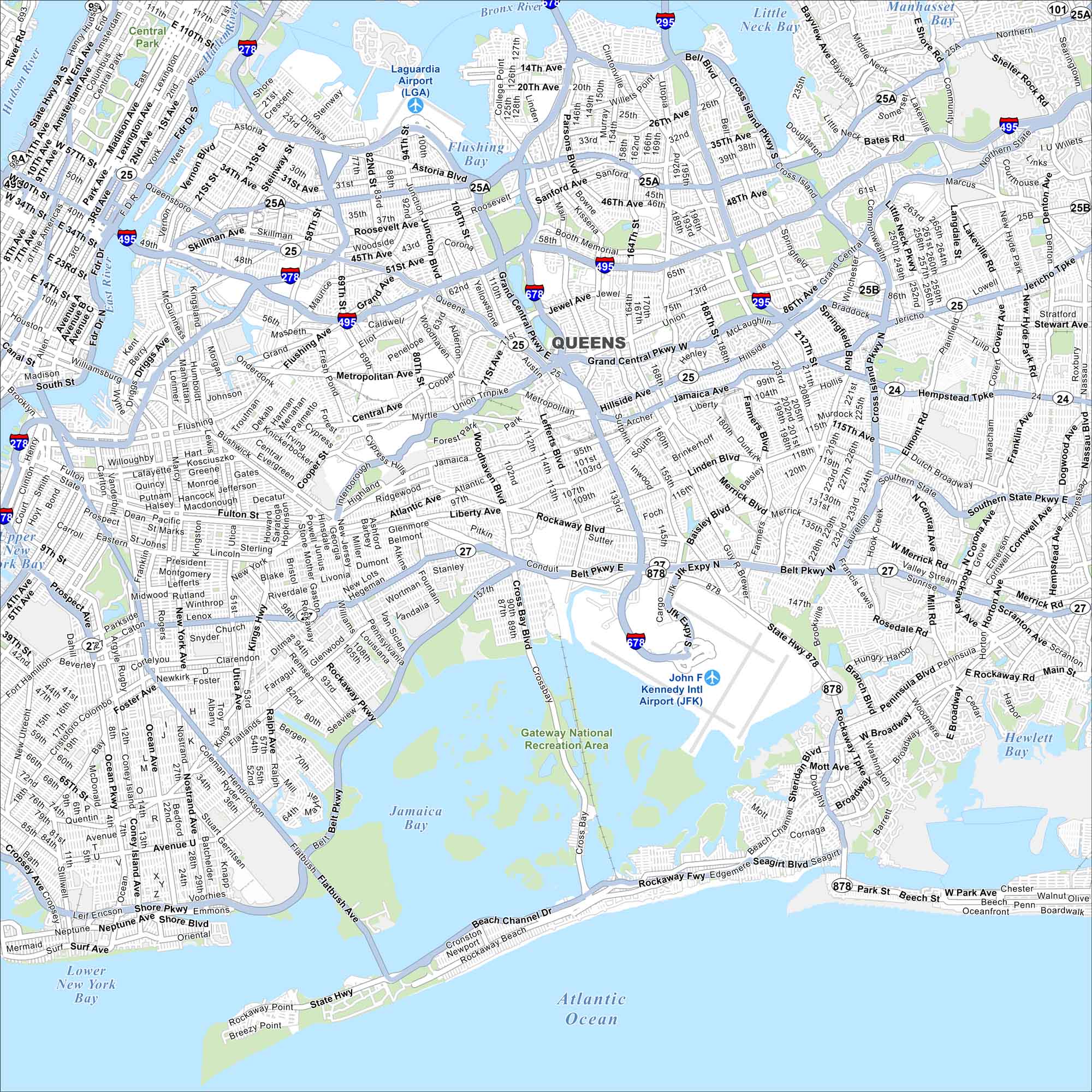
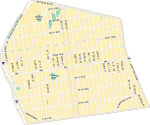
Our map of Queens stretches from the East River to the edge of Long Island. You’ll see airports, parks, and expressways tying neighborhoods together. We’ve mapped this borough in full color.
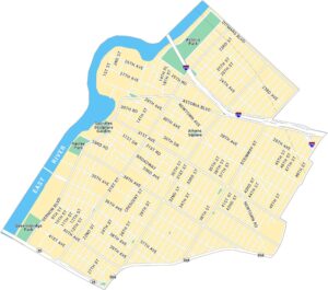
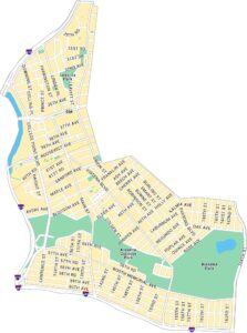
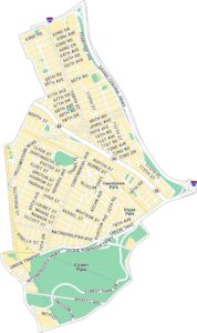
Queens Neighborhood Maps
See our neighborhood maps for a closer look of the city.
Map Information
On the Map
Interstates/Highways: I-295, I-495, I-678, State Rte 25, State Rte 25A, State Rte 25B, State Rte 27, State Rte 878, State Rte 101 Major Roads: Queens Blvd, Northern Blvd, Woodhaven Blvd, Cross Island Pkwy, Grand Central Pkwy, Belt Pkwy, Rockaway Blvd, Clearview Expy, Van Wyck Expy, Jamaica Ave, Atlantic Ave, Linden Blvd, Hillside Ave, Union Tpk, Francis Lewis Blvd, Main St, Junction Blvd, Astoria Blvd, Roosevelt Ave, Merrick Blvd Airports: Laguardia Airport (LGA), John F Kennedy Intl Airport (JFK) Lakes and Reservoirs: Little Neck Bay, Flushing Bay, Jamaica Bay, Manhasset Bay, Atlantic Ocean, Lower New York Bay, Hewlett Bay Major Rivers: Hudson River, East River, Bronx River, Harlem River Parks and Preserves: Central Park, Gateway National Recreation Area Nearby Communities: Astoria, Flushing, Jamaica, Rockaway Beach, Bayside, Corona, Elmont, Valley StreamNew York State Maps
Find state maps of the Empire State.


City Maps of New York
Here are the city maps that define New York


