Map of Uvalde, Texas
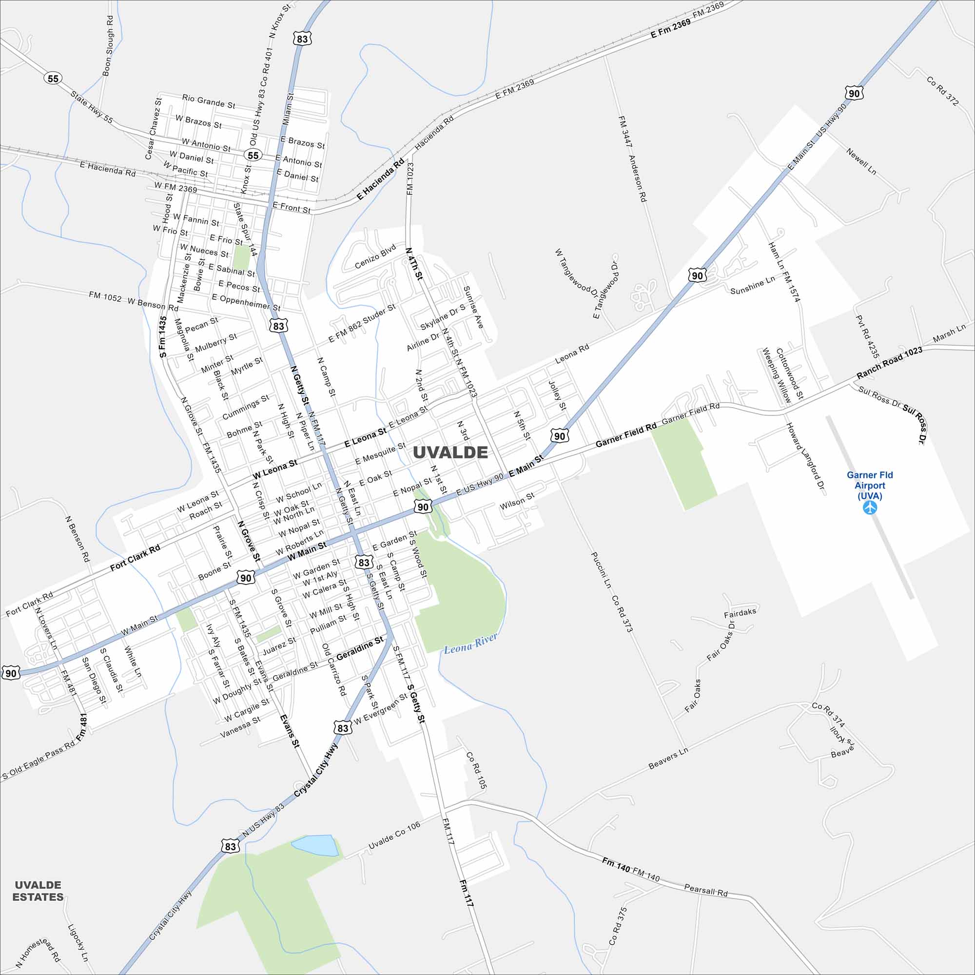
Our Uvalde map helps you explore this South Texas town. You’ll find major roads and highways, rivers, parks, and wide open spaces.
Map Information
On the Map
Interstates/Highways: US Hwy 90, US Hwy 83, State Hwy 55, State Rte 117 Major Roads: Main St, Getty St, Garden St, Geraldine St, Leona St, Camp St, Nopal St, Oak St, School Ln, Evans St, High St, Park St, Crisp St, Grove St, Benson Rd, Hacienda Rd, Wood St, Archer Ln, Fourth St, Batot St Airports: Garner Fld Airport (UVA) Major Rivers: Leona River Nearby Communities: Uvalde EstatesTexas State Maps
Scan our maps of the massive southern state of Texas.


City Maps of Texas
Explore our map collection of Texas cities.


