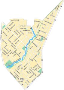
Uptown Dallas Map, Texas
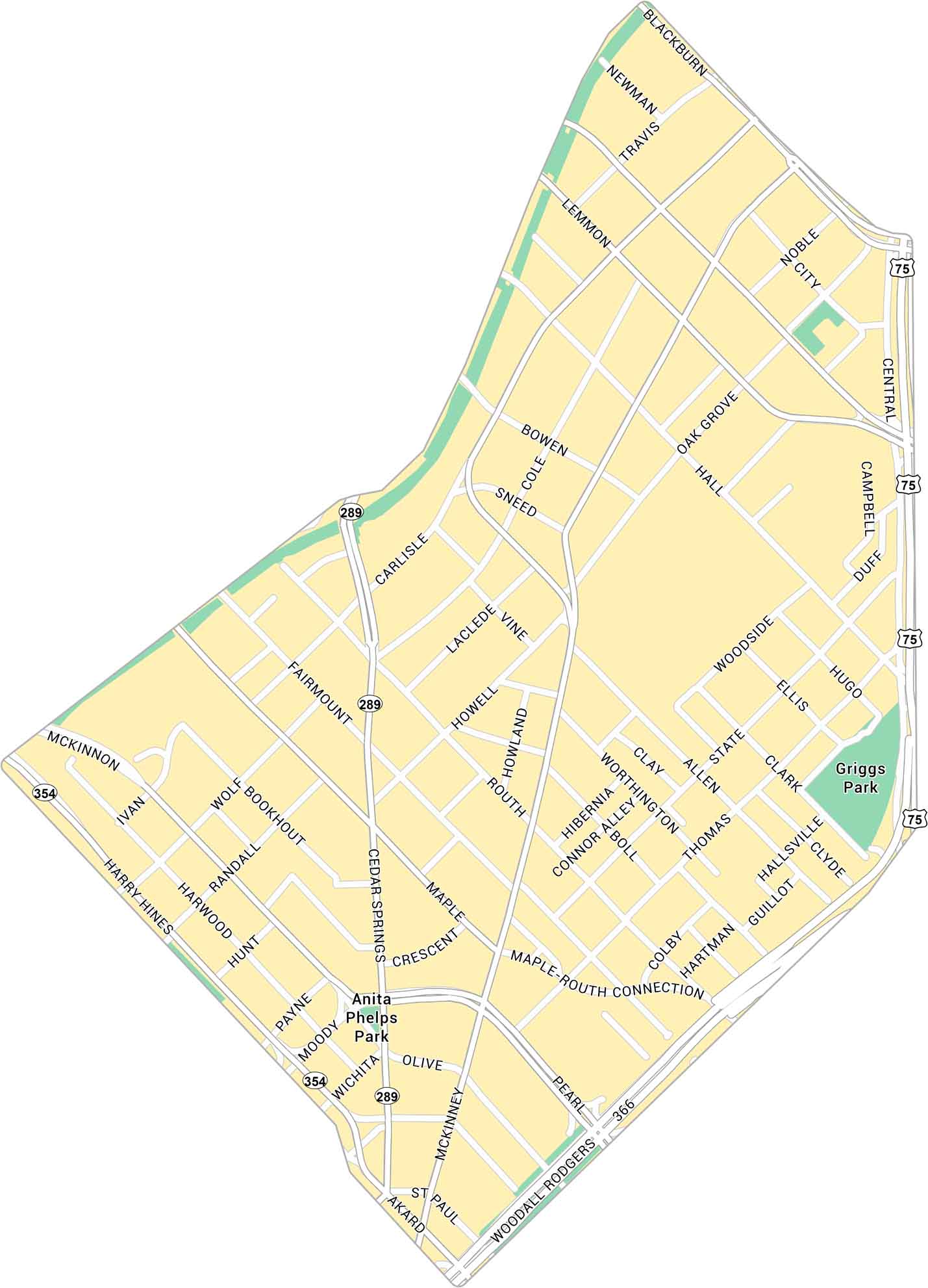
Uptown Dallas feels modern with a lot of heart. Our map highlights McKinney Avenue, the Katy Trail, and its entire road network. It’s a place that’s always moving.
Map Information
On the Map
Interstates/Highways: Woodall Rodgers Fwy (TX-366), US Hwy 75 Major Roads: Harry Hines Blvd, McKinney Ave, Cedar Springs Rd, Lemmon Ave, Oak Grove Ave, Hall St, Blackburn St, Maple Ave, Pearl St, Akard St, St Paul St, Routh St, Carlisle St, Cole Ave, Bowen St, Wolf St, Fairmount St, Randall St Parks: Griggs Park, Anita Phelps ParkDallas Neighborhood Maps
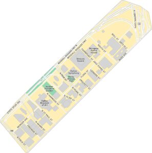
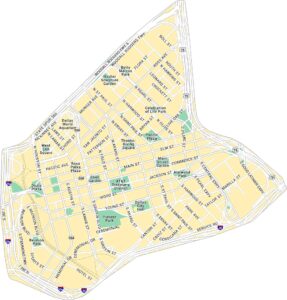
See our neighborhood maps for a closer look of the city.
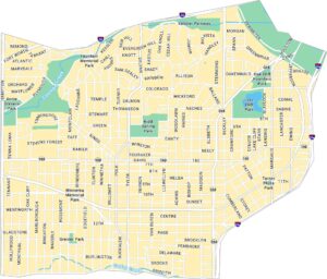
City Maps of Texas
Explore our map collection of Texas cities.


