Map of Nebraska
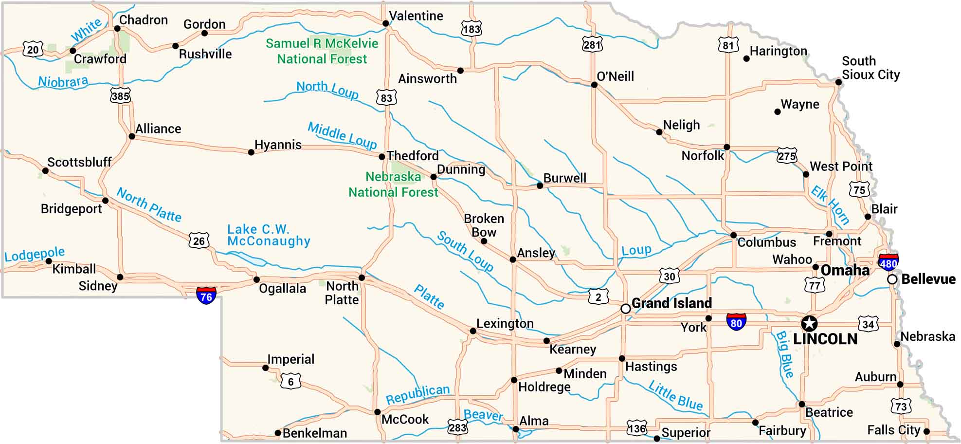
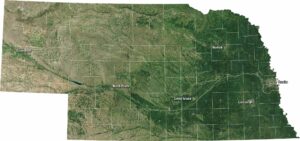
Our map of Nebraska lays out wide plains, winding rivers, and quiet towns. You’ll spot the Platte cutting through the heart of the state. Lakes and highways branch out in every direction. It’s simple, steady country with open land under a big sky.
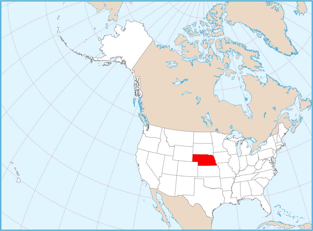
Nebraska State Maps
Examine maps showing prairies and cities in Nebraska.


Map Information
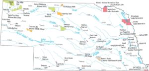
On the Map
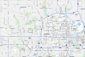
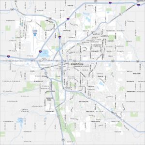
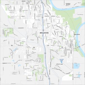
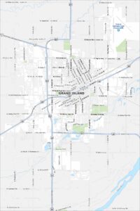
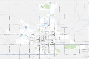
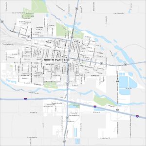
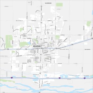
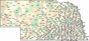
City Maps of Nebraska
Nebraska city maps are here