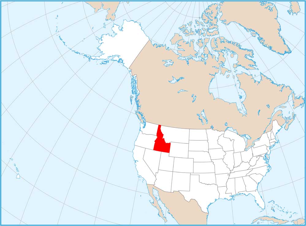
Satellite Map of Idaho
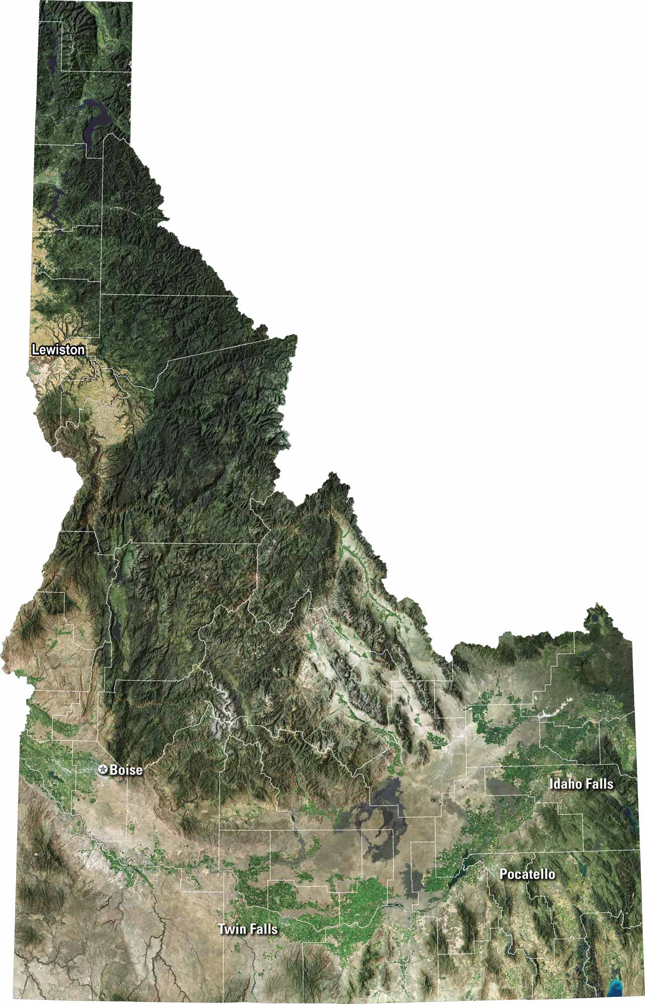
Our satellite map of Idaho shows sharp mountains, deep forests, and winding rivers. You’ll spot the Snake River carving across the south and the Salmon River cutting through rugged country. Boise grows in a wide valley, but most of the state feels wild and untouched. It’s pure western beauty, open and raw.
Map Information
On the Map
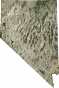
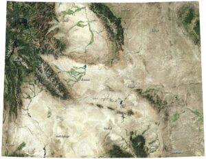
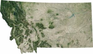
Neighboring State Maps
Find satellite map of neighboring states