Satellite Map of Pennsylvania
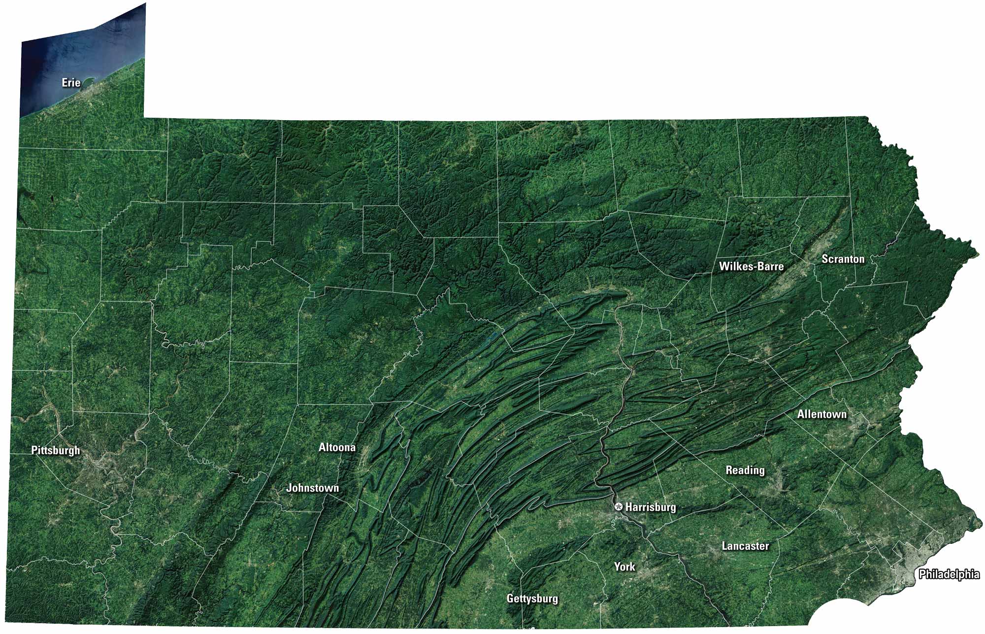
Pennsylvania has tons of history and rugged scenery. Philadelphia tells the nation’s founding story, while Pittsburgh rises at the meeting of rivers. Rolling farmland stretches through Amish country. But the Poconos and Appalachians bring mountain views. Our Pennsylvania satellite map shows its past and present.
Map Information
On the Map
Neighboring State Maps
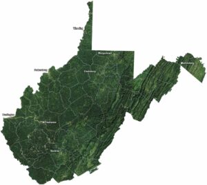
Find satellite map of neighboring states