Satellite Map of West Virginia
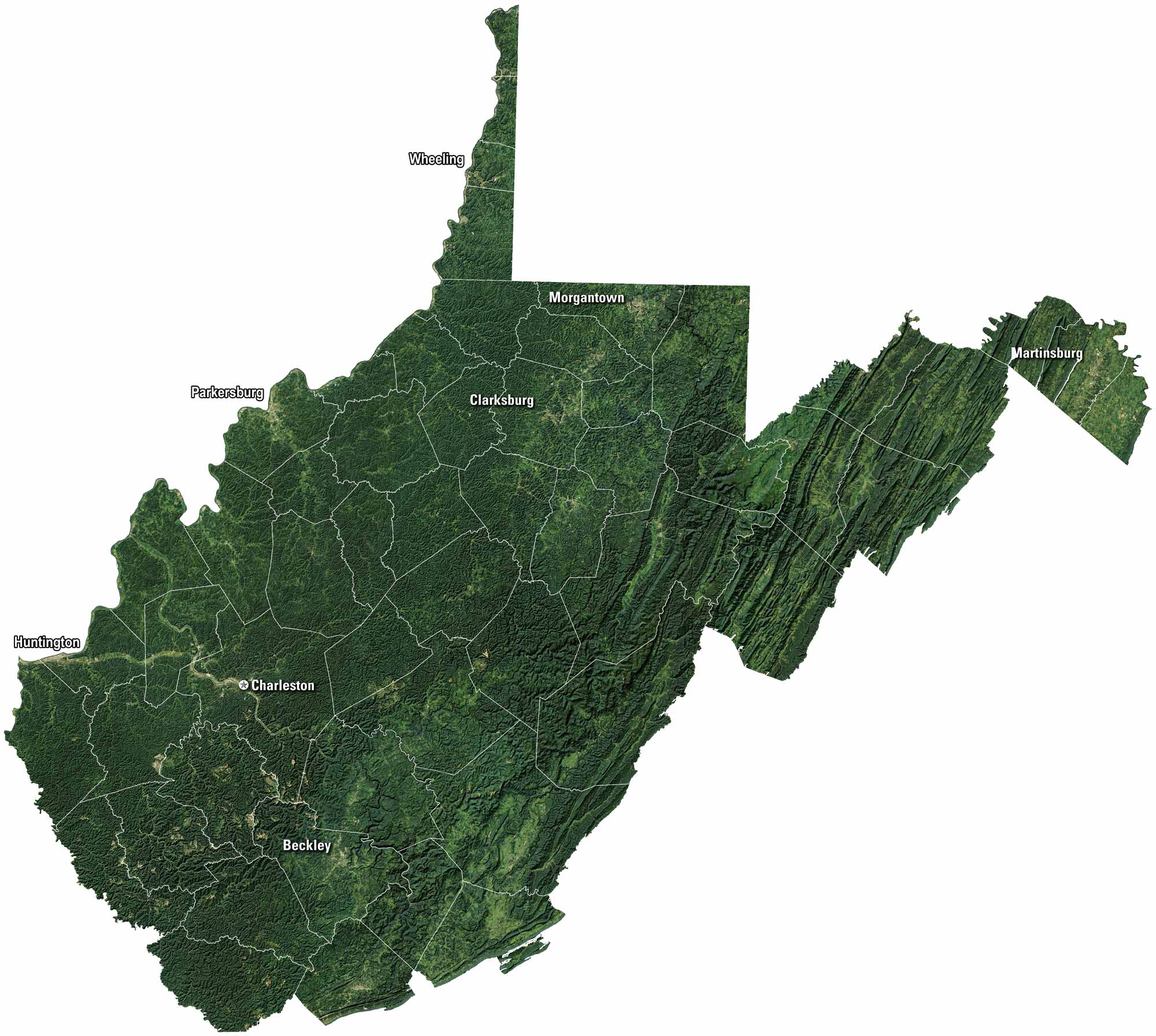
Mountains fill most of the view on our satellite map of West Virginia. Forests spread across the hills, broken by winding valleys. Charleston and Morgantown are major cities here. Rivers cut through the land but it looks mostly rugged.
Map Information
On the Map
Neighboring State Maps
Find satellite map of neighboring states


