Map of West Lafayette, Indiana
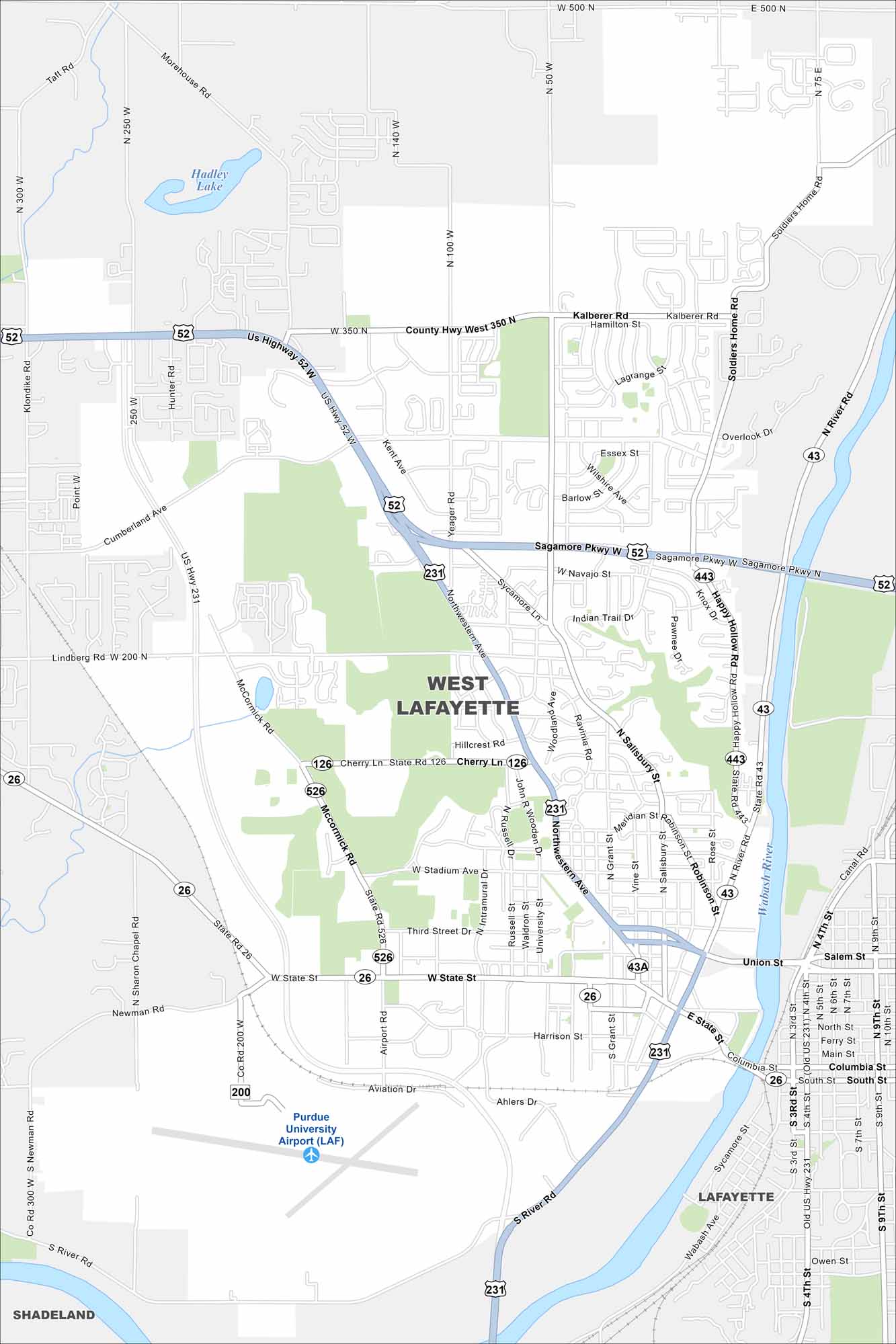
Take a look at West Lafayette on our road and highway map. Purdue University and the Wabash River give the city its character. The Sagamore Parkway Trail connects Lafayette to West Lafayette, across the Wabash River.
Indiana State Maps
Study about Indiana with our map collection


Map Information
On the Map
Interstates/Highways: US Hwy 52, US Hwy 231, State Rte 26, State Rte 43, State Rte 126, State Rte 443, State Rte 526 Major Roads: State St, Sagamore Pkwy, Northwestern Ave, River Rd, Salisbury St, McCormick Rd, Harrison St, Cherry Ln, Stadium Ave, Wiggins St, Fowler Ave, Kalberer Rd, Lindberg Rd, Cumberland Ave, Yeager Rd, Soldiers Home Rd, Klondike Rd, Morehouse Rd, Union St, Columbia St Airports: Purdue University Airport (LAF) Lakes and Reservoirs: Hadley Lake Major Rivers: Wabash River Nearby Communities: Lafayette, ShadelandIndiana City Maps
Here are our maps of Indianapolis and Indiana cities


