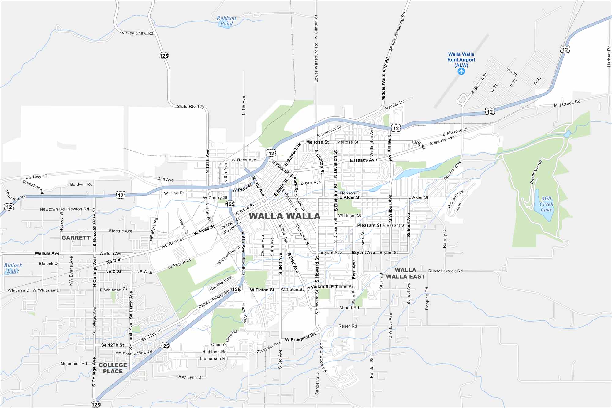
Map of Walla Walla, Washington
Our road map of Walla Walla helps you find your way through wine country. The city is surrounded by vineyards, farmland, and rolling hills.
Map Information
On the Map
Interstates/Highways: US Hwy 12, State Rte 125 Major Roads: Isaacs Ave, Main St, Rose St, Pine St, Poplar St, Alder St, Tieton St, Whitman St, 2nd Ave, 9th Ave, 13th Ave, Clinton St, Division St, Wilbur Ave, Myra Rd, Gose St, College Ave, Howard St, 4th Ave, Park St Airports: Walla Walla Rgnl Airport (ALW) Lakes and Reservoirs: Robison Pond, Blalock Lake, Mill Creek Lake Nearby Communities: College Place, Garrett, Walla Walla EastWashington State Maps
Move through the Evergreen State with our map collection.


City Maps of Washington
Check out our city maps of Washington


