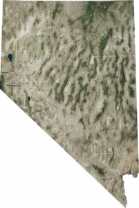
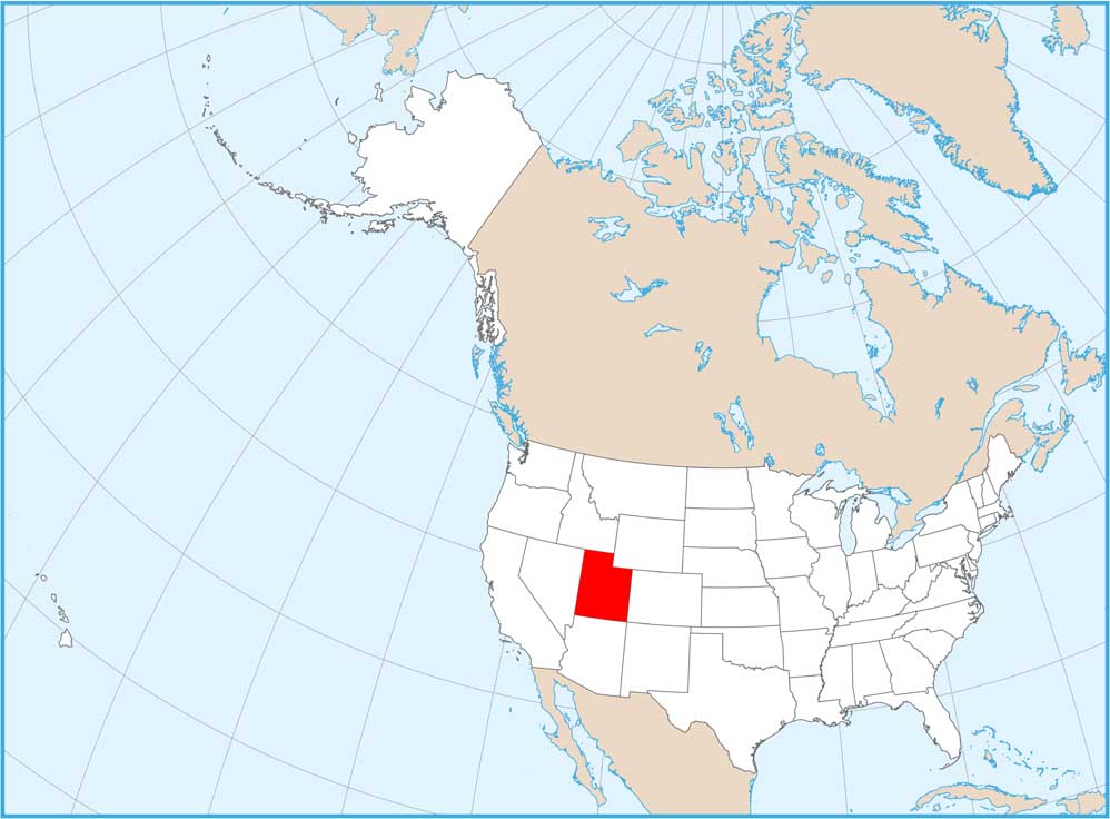
Satellite Map of Utah
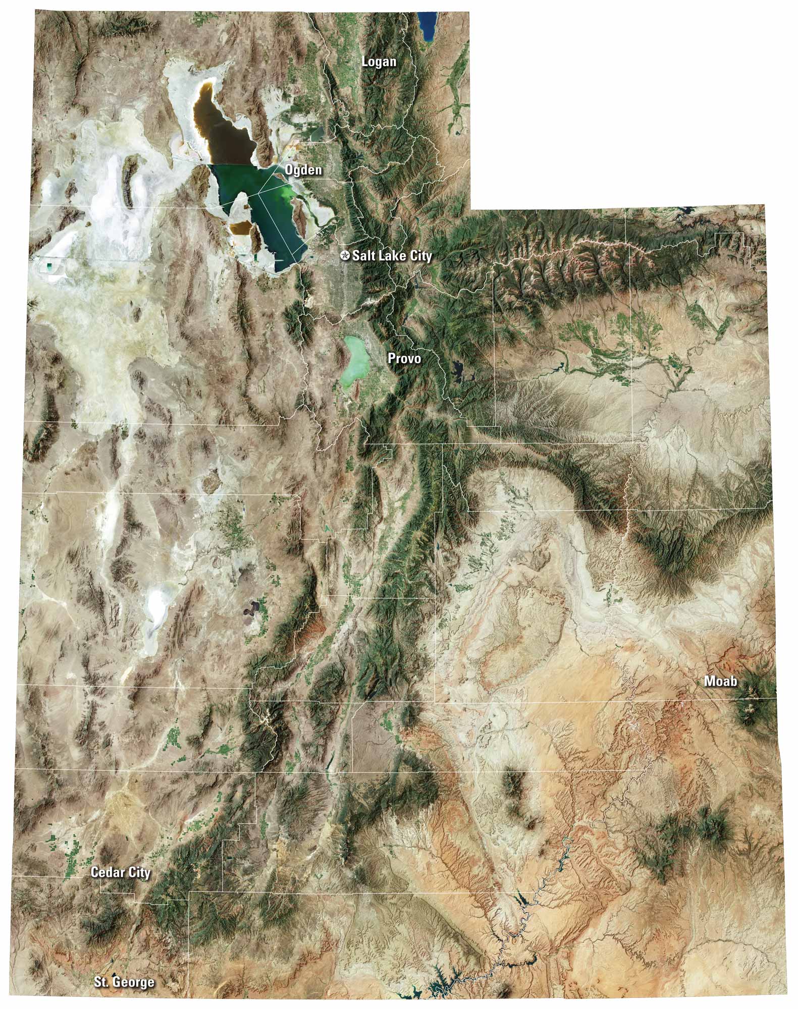
Utah is a whole mix of different landscapes. Red rock canyons, snowy peaks, and wide desert basins… Salt Lake City sits at the foot of the Wasatch, while rivers cut through sandstone. From national parks to quiet valleys, our satellite map of Utah shows every corner of this scenic state.
Map Information
On the Map
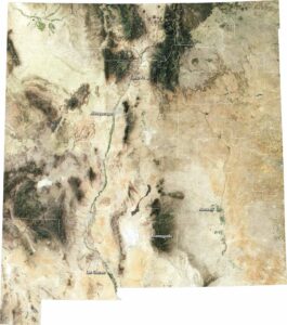
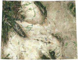
Neighboring State Maps
Find satellite map of neighboring states