Map of Tualatin, Oregon
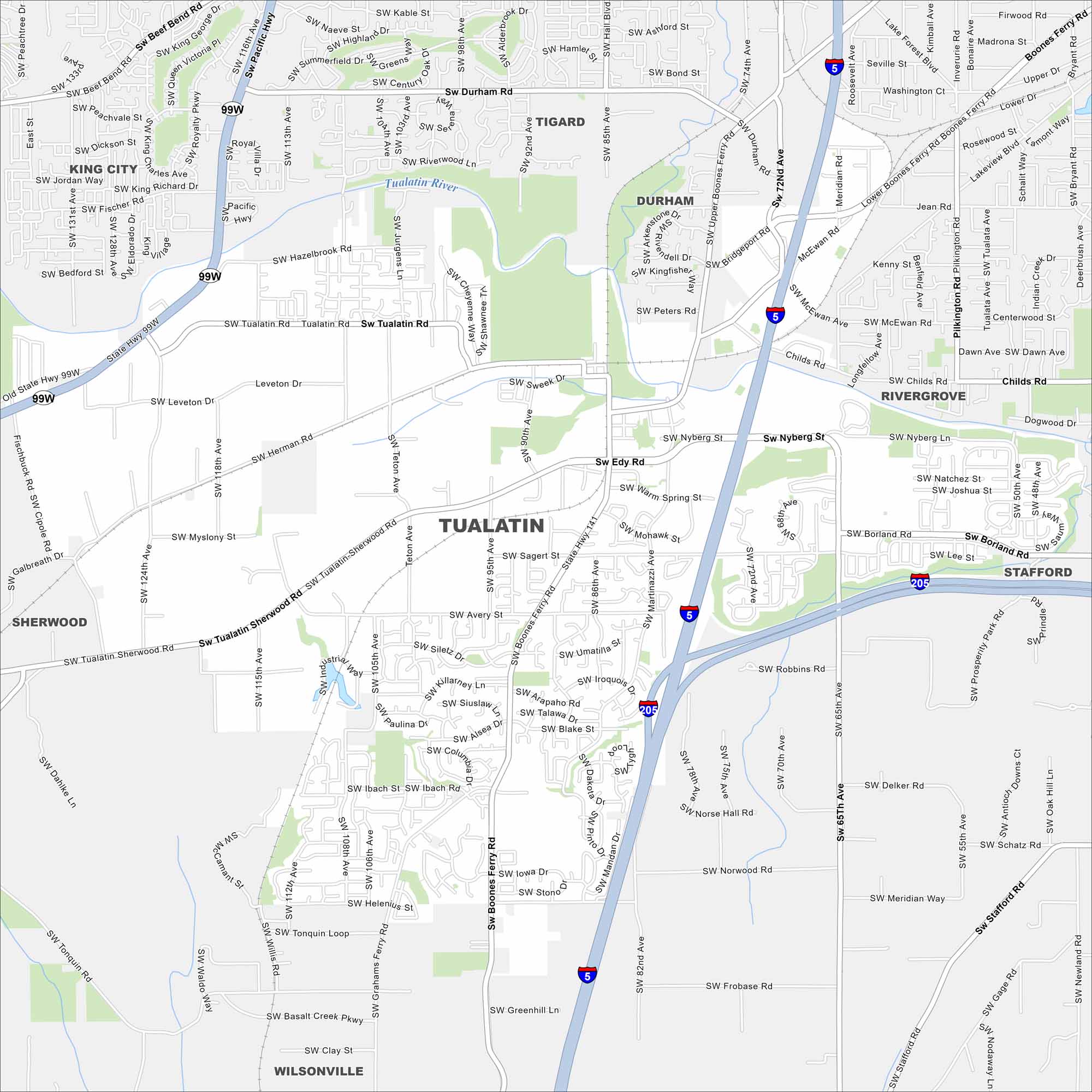
Find your bearings using our Tualatin map. This suburb is located south of Portland, Oregon. Our map highlights its riverfront, parks, and streets.
Map Information
On the Map
Interstates/Highways: I-5, I-205, US Hwy 99W, State Rte 141 Major Roads: Pacific Hwy, Tualatin Sherwood Rd, Boones Ferry Rd, Sagert St, Borland Rd, Nyberg St, Tualatin Rd, Herman Rd, Myslony St, Leveton Dr, 124th Ave, 115th Ave, 108th Ave, 65th Ave, Stafford Rd, Meridian Way, Tonquin Rd, Basalt Creek Pkwy, Clay St Major Rivers: Tualatin River Nearby Communities: King City, Tigard, Durham, Rivergrove, Stafford, Wilsonville, SherwoodOregon State Maps
Here is our state map collection of Oregon.


City Maps of Oregon
Get to know Portland and Oregon’s urban areas.


