Map of The Dalles, Oregon
Our road map of The Dalles highlights its Columbia River location. With historic trails and a scenic gorge setting, it’s a gateway to Oregon wine country.
Map Information
On the Map
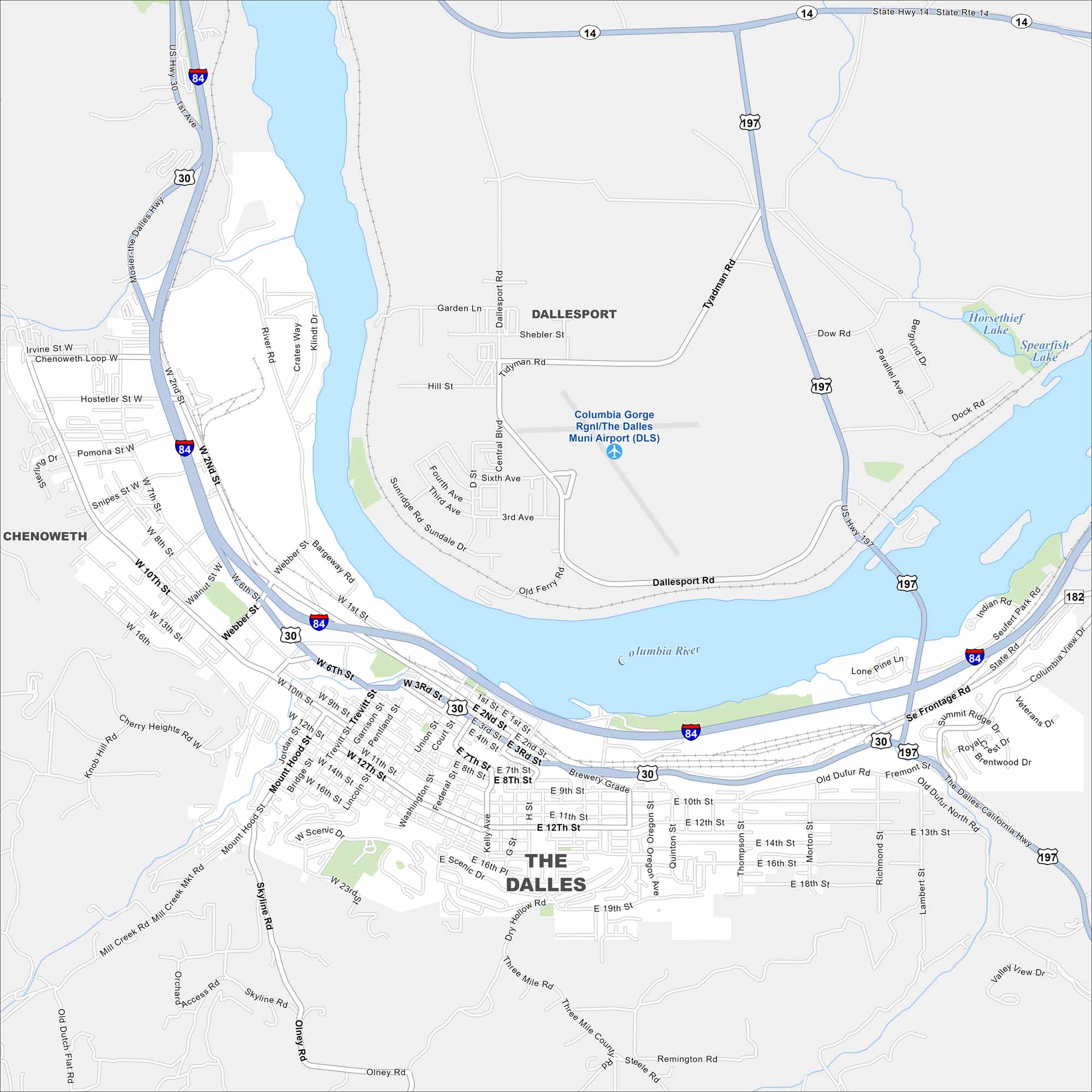
Interstates/Highways: I-84, US Hwy 30, US Hwy 197, State Rte 14 Major Roads: Columbia River Hwy, Dalles Hwy, Chenoweth Loop, 6th St, 10th St, 2nd St, Cherry Heights Rd, Mill Creek Mkt Rd, Scenic Dr, Skyline Rd, Olney Rd, Dry Hollow Rd, Three Mile Rd, Steele Rd, Sevenmile Hill Rd, Frontage Rd, Old Dufur Rd, Valley View Dr Airports: Columbia Gorge Rgnl/The Dalles Muni Airport (DLS) Lakes and Reservoirs: Horsethief Lake, Spearfish Lake Major Rivers: Columbia River Nearby Communities: Chenoweth, DallesportOregon State Maps
Here is our state map collection of Oregon.


City Maps of Oregon
Get to know Portland and Oregon’s urban areas.


