Map of Talladega, Alabama
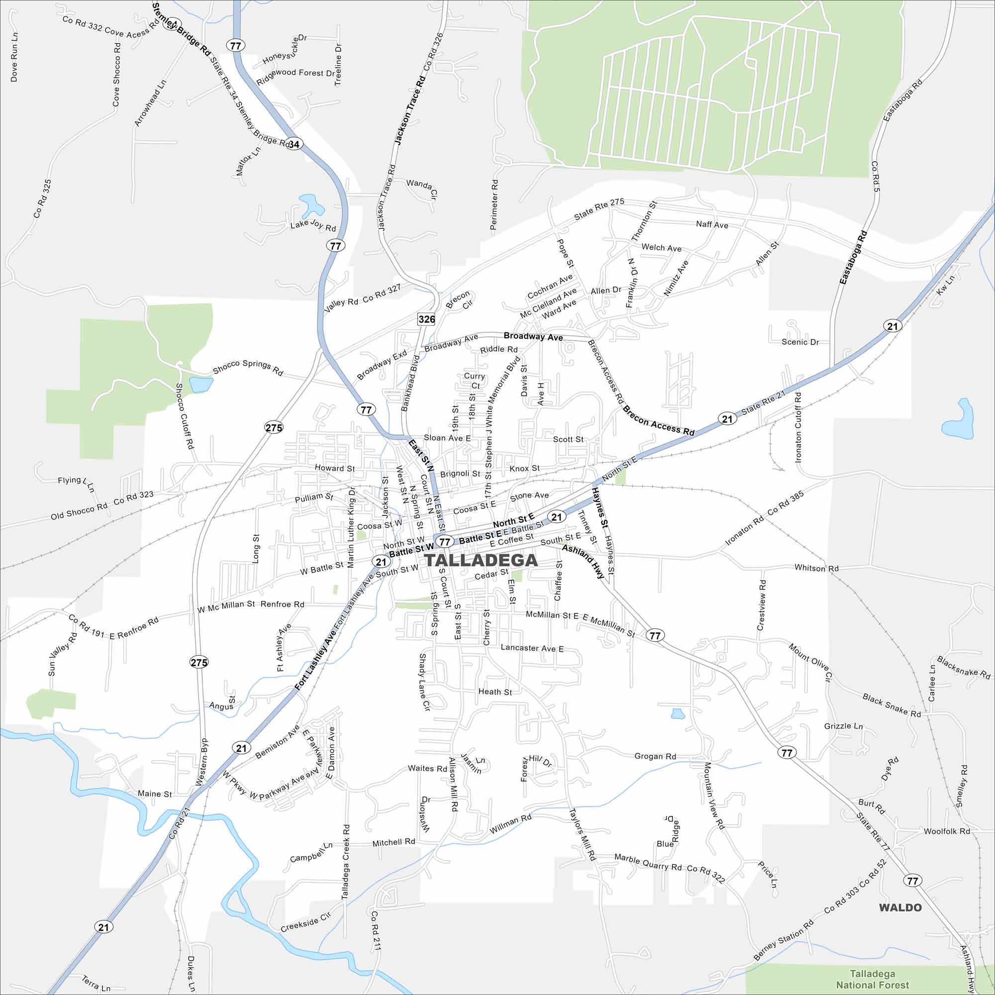
Here’s a map of Talladega in eastern Alabama. The Talladega Superspeedway and nearby national forest make it a well-known tourist destination.


Map Information
On the Map
Interstates/Highways: AL 77, AL 21, AL 275, AL 326, AL 34 Major Roads: Battle St, North St, South St, Broadway Ave, Sloan Ave, McMillan St, Cedar St, Ashland Rd, Co Rd 327, Co Rd 323, Co Rd 191, Speedway Blvd, Renfroe Rd, Shocco Springs Rd, Marble Quarry Rd, Grogan Rd, Whitson Rd, Mitchell Rd Rivers and Creeks: Talladega Creek Parks/Preserves/Forests: Talladega National Forest Nearby Communities: WaldoAlabama City Maps
Here are our city maps of Alabama


