Map of Mount Juliet, Tennessee
Mount Juliet lies east of Nashville. Our map shows this suburban area, anchored by major highways. The city has become a commuter hub.
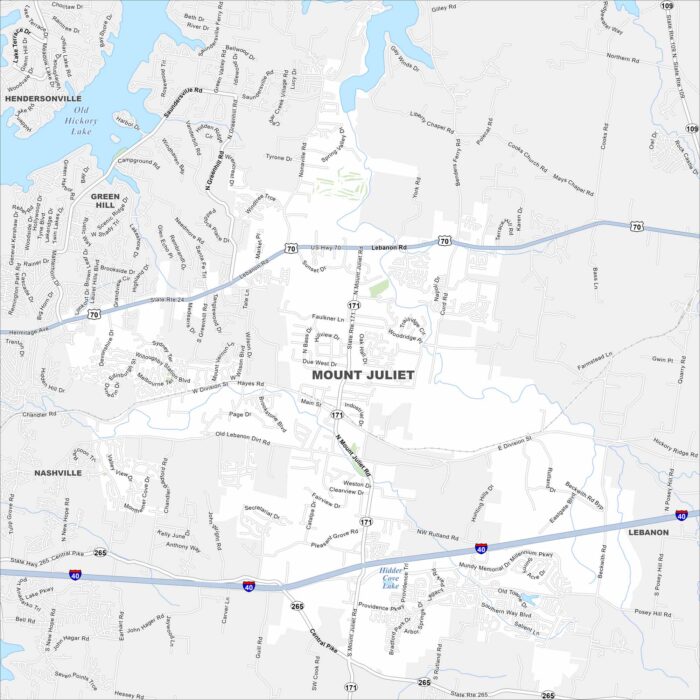
Mount Juliet lies east of Nashville. Our map shows this suburban area, anchored by major highways. The city has become a commuter hub.
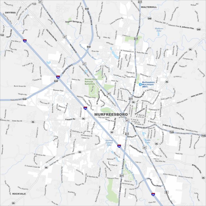
Discover Murfreesboro on our map of Middle Tennessee. The downtown square, parks and major highways stand out the most.
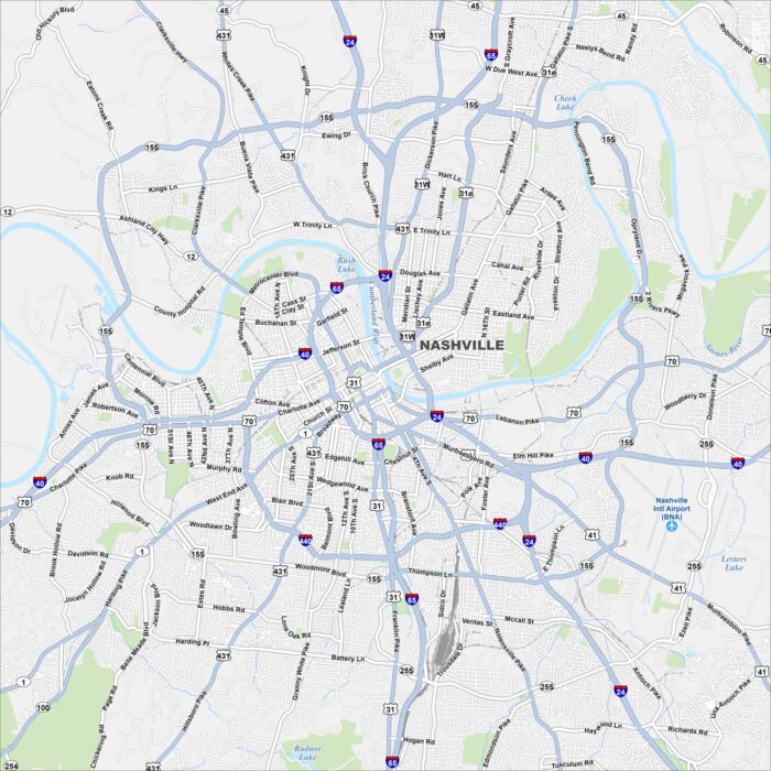
Discover Nashville with our map of Tennessee’s capital. The downtown core sits along the Cumberland River.
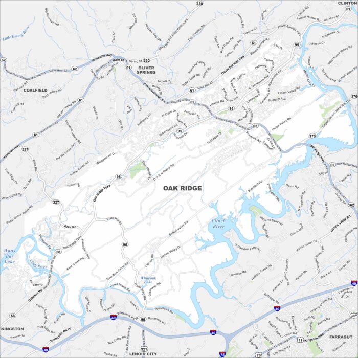
Oak Ridge is set in the valleys west of Knoxville. This map shows a spread of neighborhoods, rivers, and wooded ridges.
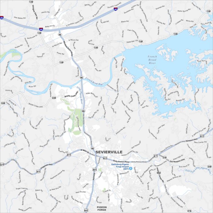
Our map of Sevierville helps you explore Dolly Parton’s hometown. It’s the gateway to the Smoky Mountains and lots of attractions.
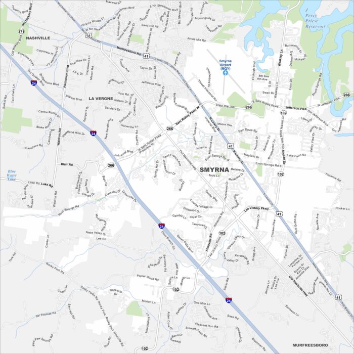
Need directions for Smyrna? Our map shows this community southeast of Nashville. This town has parks, schools, and a strong military presence.
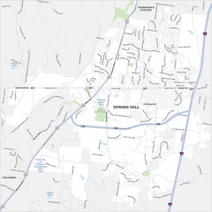
Here’s our map of Spring Hill, a city south of Nashville. Our map helps you find major highways, parks, lakes, and neighborhoods.
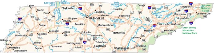
Tennessee stretches from the Mississippi River to the peaks of the Smokies. Our road map highlights its highways, lakes, rivers and parks.
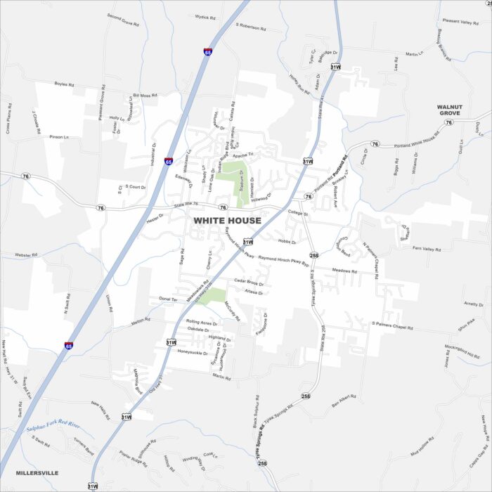
Use our City of White House map to see this small city north of Nashville. It’s a growing community with lots suburban spirit.