Map of Ohio
Ohio has its own rhythm. Cities, rivers, and rolling farmland are all connected by its interstates. Our Ohio map lays it all out clearly.
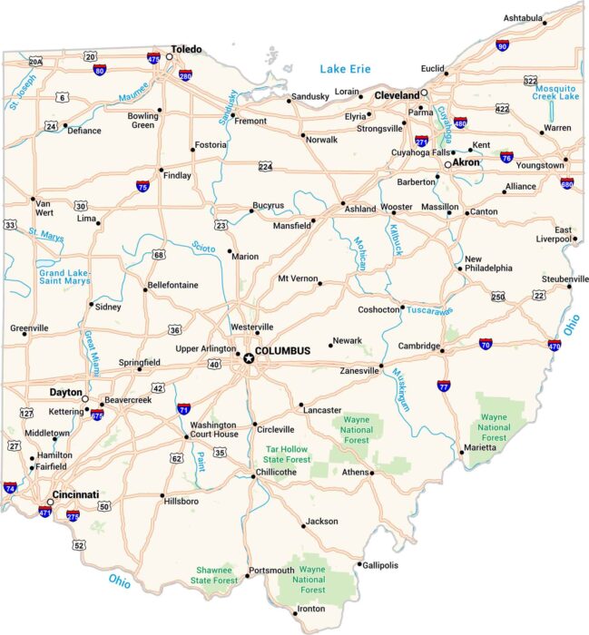
Ohio has its own rhythm. Cities, rivers, and rolling farmland are all connected by its interstates. Our Ohio map lays it all out clearly.
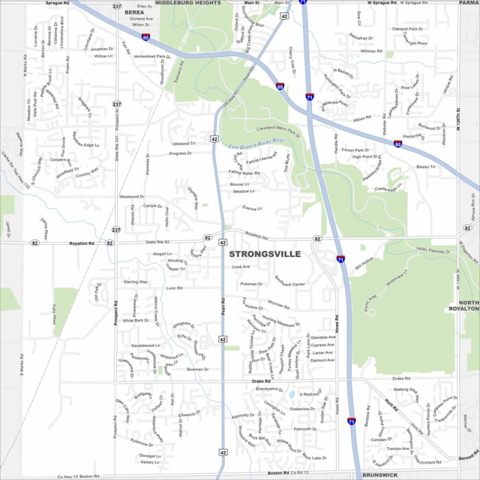
Here’s a map of Strongsville, often called the Crossroads of the Nation. This is because it’s where Interstate 71 and the Ohio Turnpike meet.
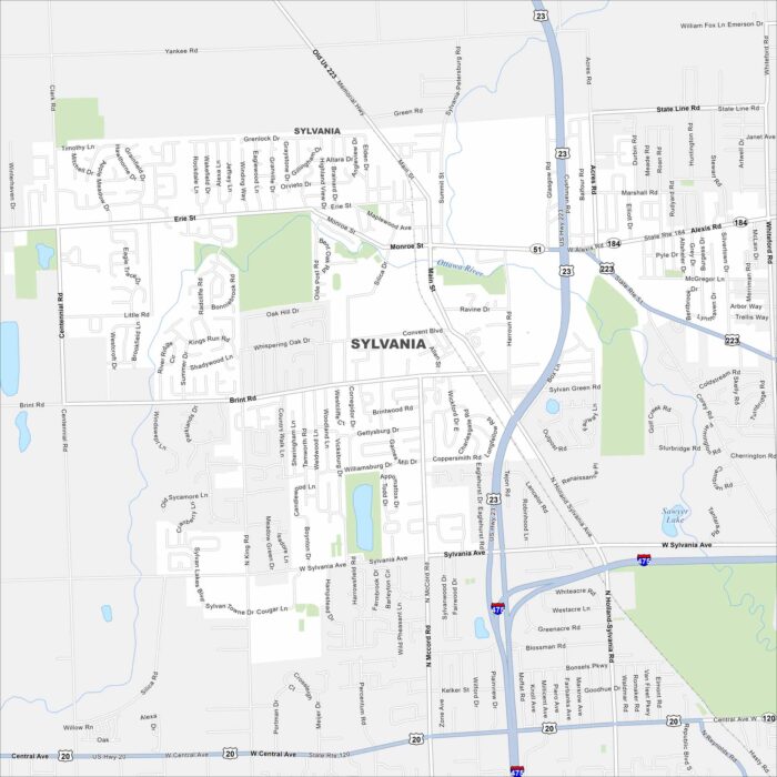
Want to explore Sylvania, Ohio? This city is situated near Toledo. It’s known for its schools, parks, annual festivals, and a community feel.
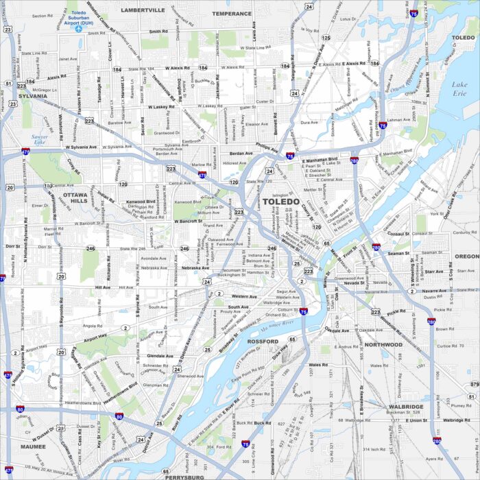
Here’s a simple map of Toledo along Lake Erie. Known for its Glass City heritage, it’s shaped by the Maumee River and Lake Erie.
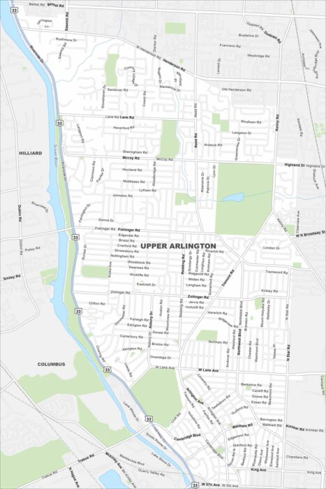
Get around Upper Arlington, a leafy suburb near Columbus. Our map highlights neighborhoods, parks, roads and the Scioto River.
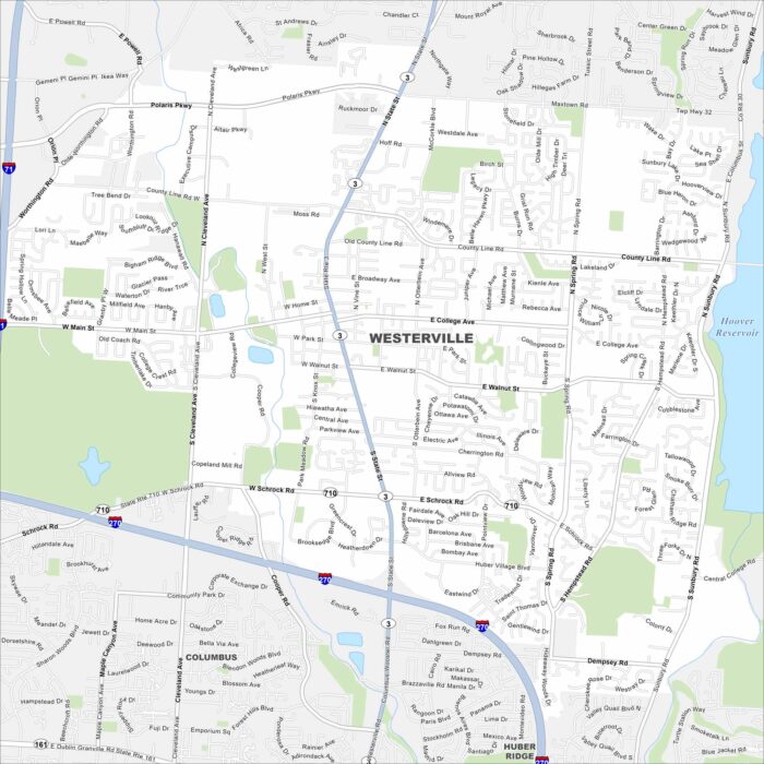
Our Westerville map shows this suburban city just north of Columbus. It’s home to Otterbein University and a lot of historic neighborhoods.
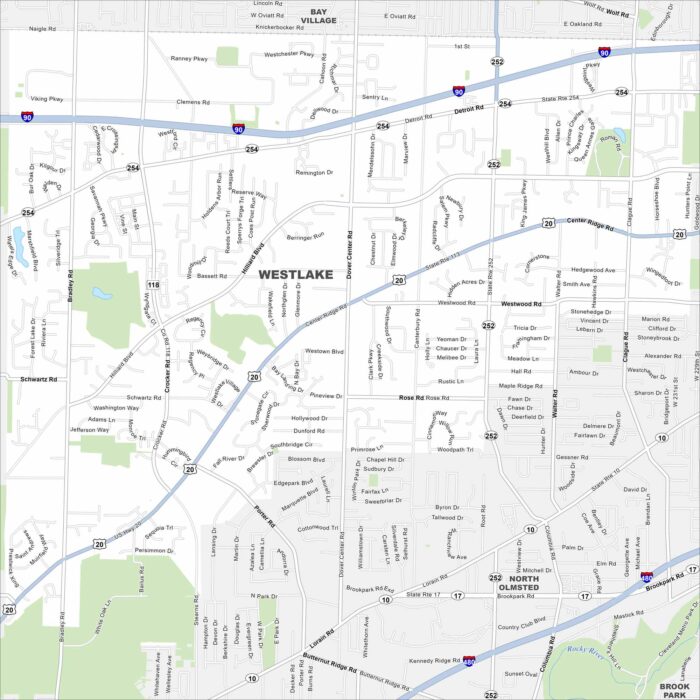
Get around Westlake, a western suburb of Cleveland. The city offers parks, shopping centers, and quick access to Lake Erie.
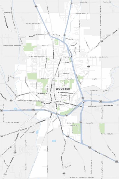
This map of Wooster shows the college town’s downtown and green campus spaces. It’s the seat of Wayne County in northeast Ohio.
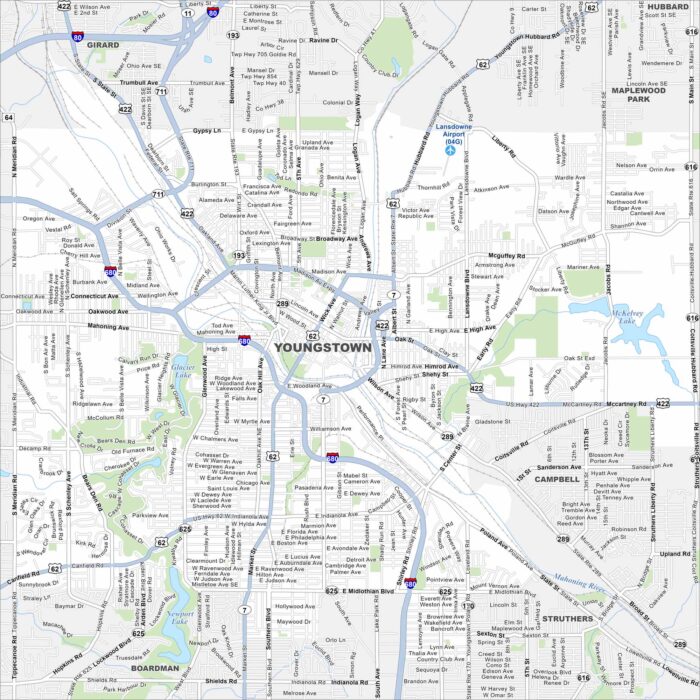
Our map of Youngstown shows the downtown area and Mahoning River setting. Once a steel hub, the city is now reinventing itself.