Map of Warren, Michigan
Our road map of Warren guides you through Detroit’s largest suburb. The city is home to industry, neighborhoods, and major auto history.
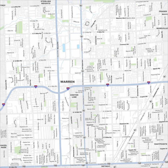
Our road map of Warren guides you through Detroit’s largest suburb. The city is home to industry, neighborhoods, and major auto history.
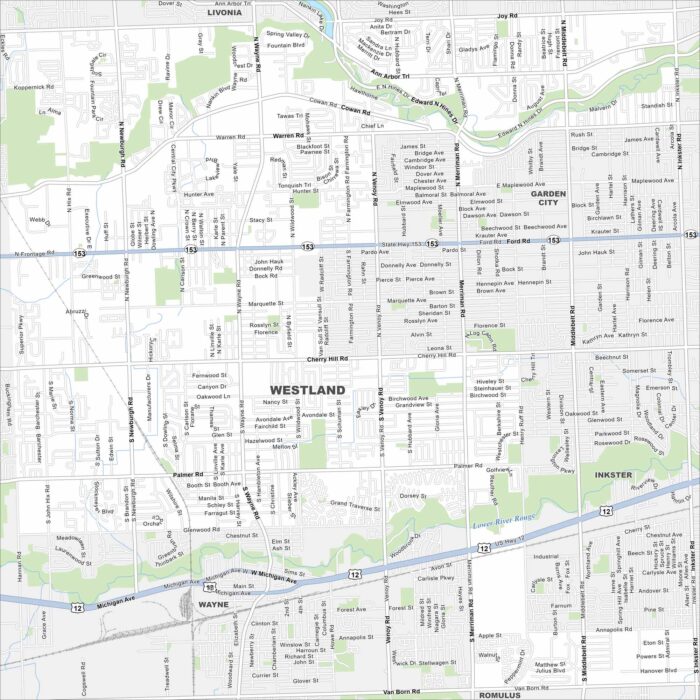
Our map of Westland highlights this Detroit suburb’s neighborhoods. The city is part of the western metro area and in Wayne County.
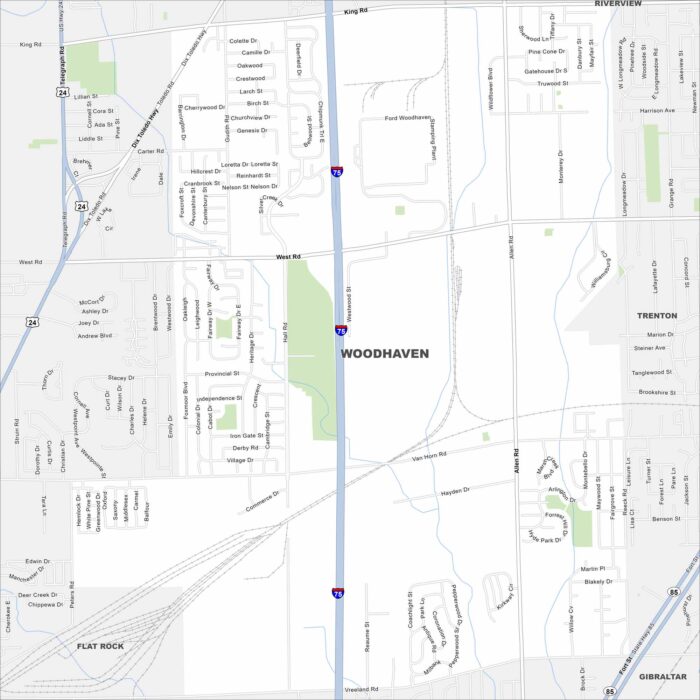
Here’s our map of Woodhaven, located in Metro Detroit’s Downriver region. The city has residential streets with easy highway access from I-75.
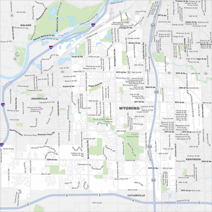
Not to be confused with the state of Wyoming. Here’s our map of Wyoming, Michigan, located just outside Grand Rapids.
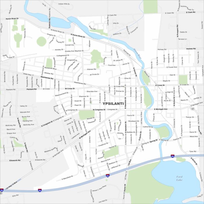
This Ypsilanti map shows the Huron River winding through town with Ford Lake in the southeast. It blends history, arts, and university life.