Map of Kenner, Louisiana
Kenner borders the Mississippi River and Lake Pontchartrain. This map shows Louis Armstrong Airport dominating its center.
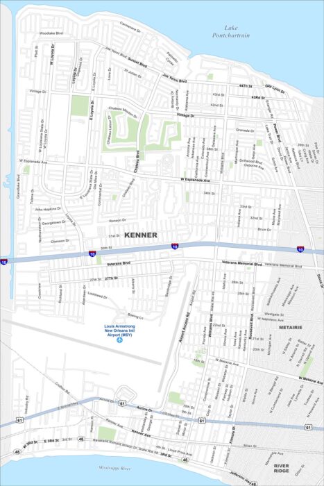
Kenner borders the Mississippi River and Lake Pontchartrain. This map shows Louis Armstrong Airport dominating its center.
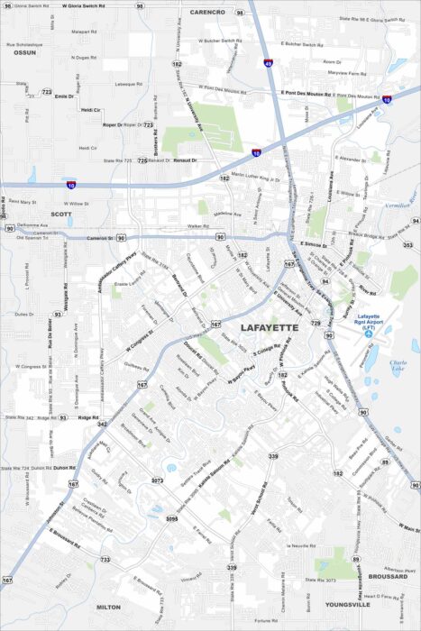
See Lafayette along the Vermilion River. Historic neighborhoods pop out on the map. Interstates connect the city to Baton Rouge.
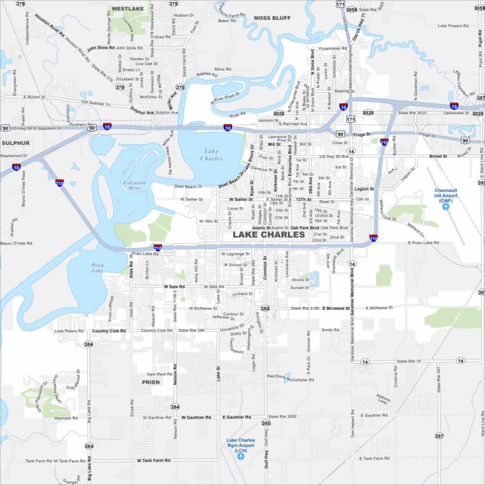
Our map of Lake Charles with highways, rivers and parks. Lake Charles dominates the map’s center. The Calcasieu River runs into the lake.
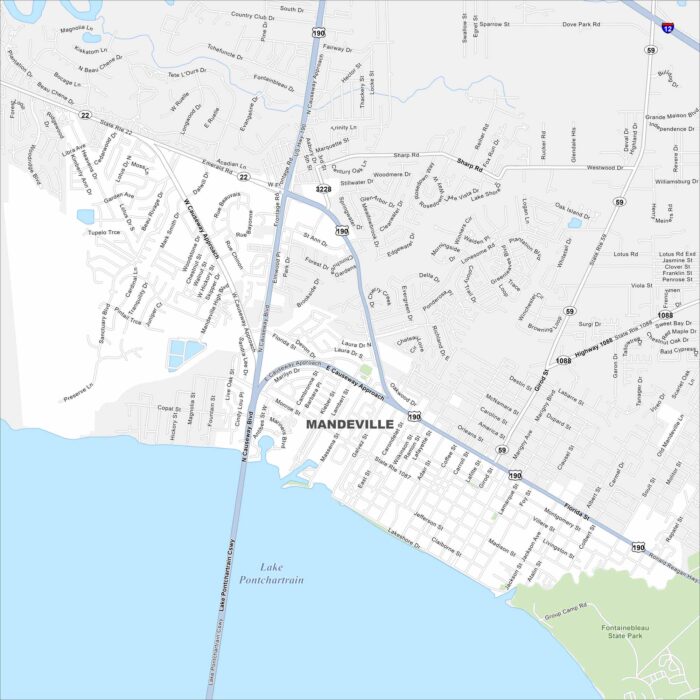
Take a look at Mandeville on the north shore of Lake Pontchartrain. Our map shows its highways curving toward New Orleans.
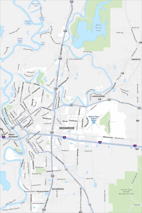
Explore our map of Monroe, located in northern Louisiana. The Ouachita River runs through town, with parks, and industry along its banks.
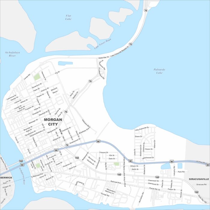
Morgan City sits on the Atchafalaya River and Intracoastal Waterway. Our map highlights its waterways, bridges, and downtown core.
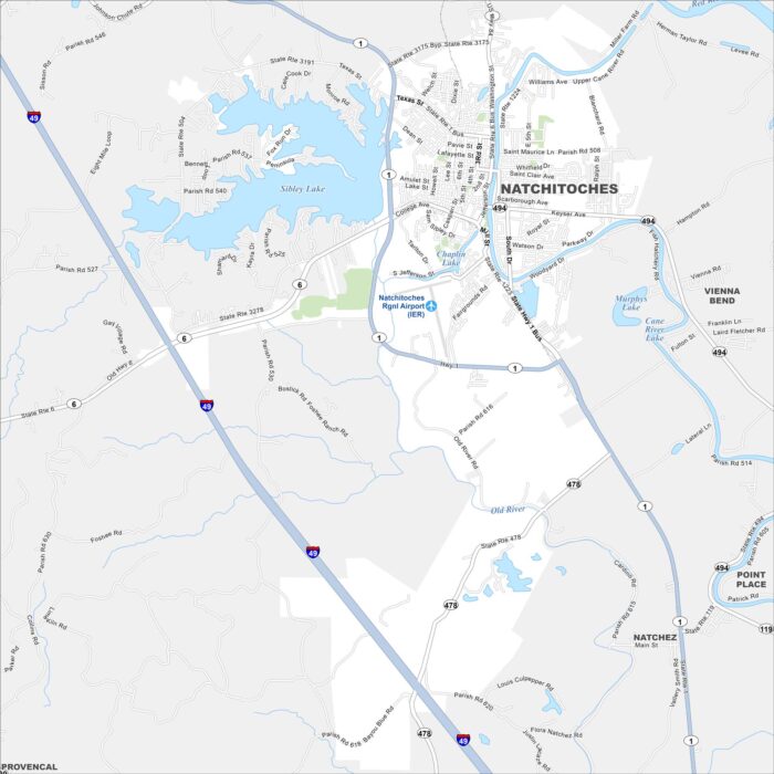
See Natchitoches on our map, set along the Cane River. The historic district lines the riverfront, while newer neighborhoods spread inland.
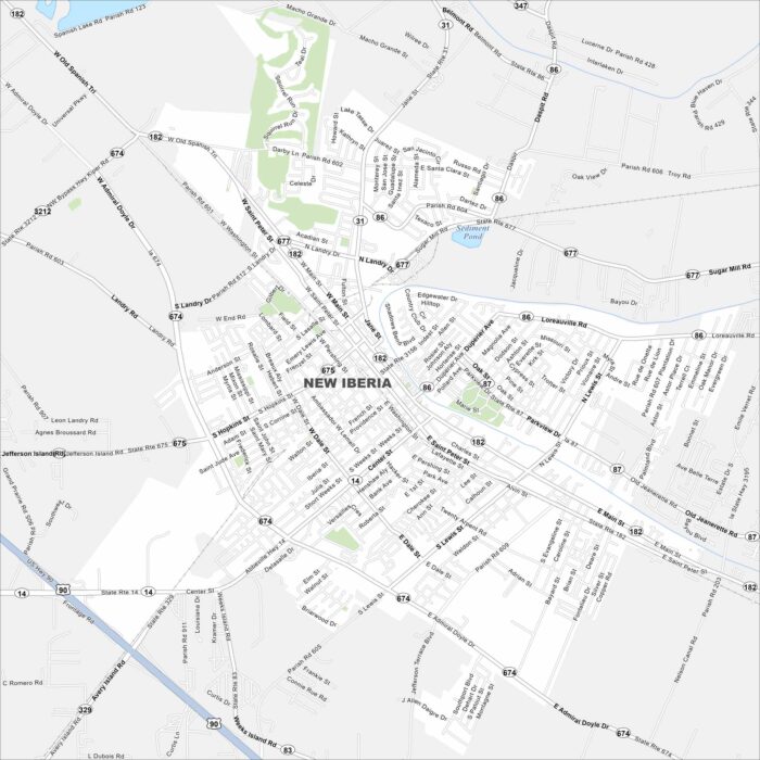
New Iberia sits along Bayou Teche in southern Louisiana. Check out this map to see its historic downtown and waterways.
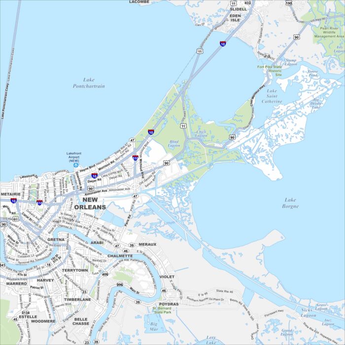
New Orleans stretches along the Mississippi River in southeastern Louisiana. Take a look at this map to see its winding streets and more.
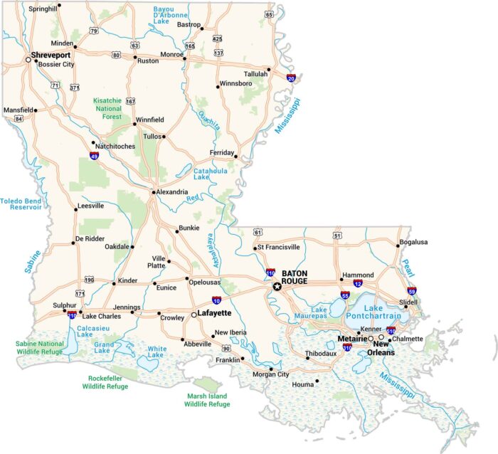
Our Louisiana map captures its bayous and big cities. You’ll spot Baton Rouge, Shreveport, and of course, New Orleans along the Mississippi.
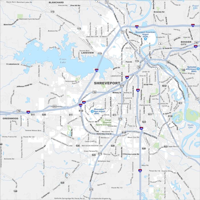
Here’s a map of Shreveport, a major city in northwest Louisiana. It’s known for its riverfront casinos, music scene, and culture.
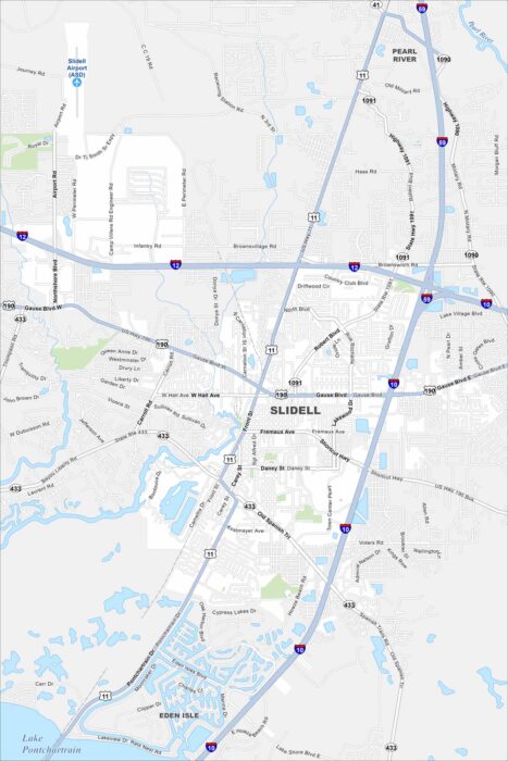
Our map of Slidell highlights its location on the north shore of Lake Pontchartrain. The city is known for fishing, marshes, and more.