Map of Kansas City, Kansas
Our map shows Kansas City sitting at the junction of the Kansas and Missouri Rivers. Highways cross in every direction.
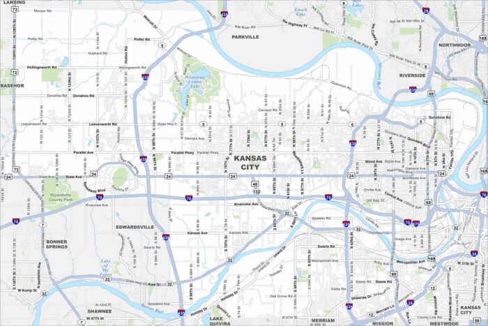
Our map shows Kansas City sitting at the junction of the Kansas and Missouri Rivers. Highways cross in every direction.
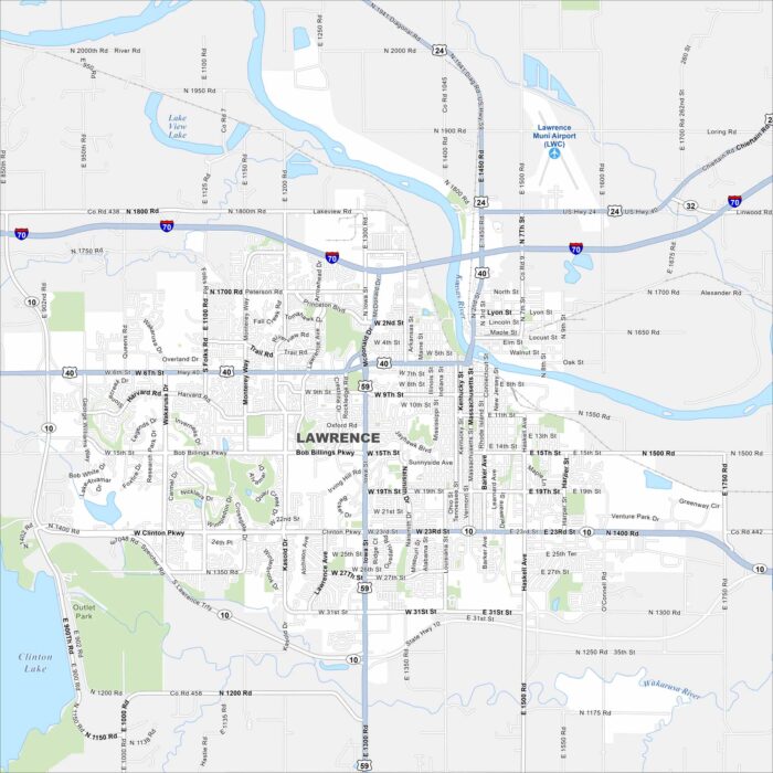
Our map of Lawrence shows the Kansas River running through downtown. The University of Kansas dominates the west side.
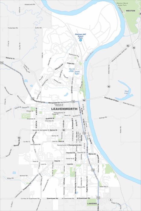
Check out Leavenworth on the Missouri River. Its historic downtown and Weston Bend State Park both stand out. Surrounding it is farmland.
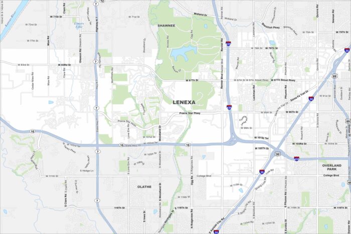
Lenexa is in suburban Johnson County. The map shows a mix of neighborhoods, parks, and lakes. It blends directly into the Kansas City metro.
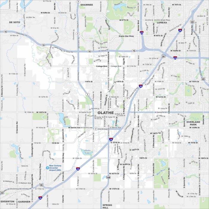
Olathe lies southwest of Kansas City spreading across rolling prairie. Our map highlights highways, lakes, rivers and greenbelts.
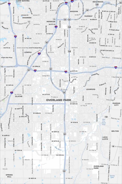
Our map of Overland Park outlines one of the largest suburbs of Kansas City. Suburban streets spread across wide green spaces.
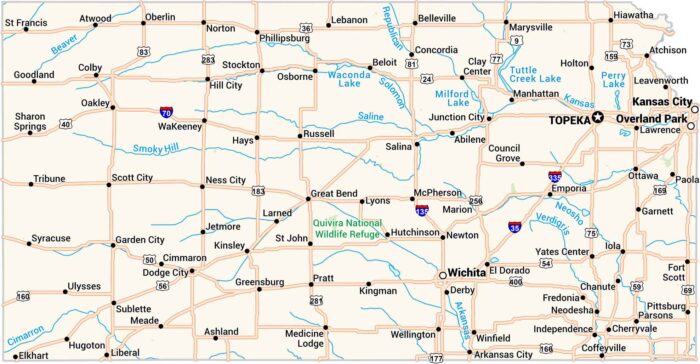
Our Kansas map lays out the wide open plains. Highways cut clean across small towns. You’ll spot Wichita, Topeka, and Kansas City.
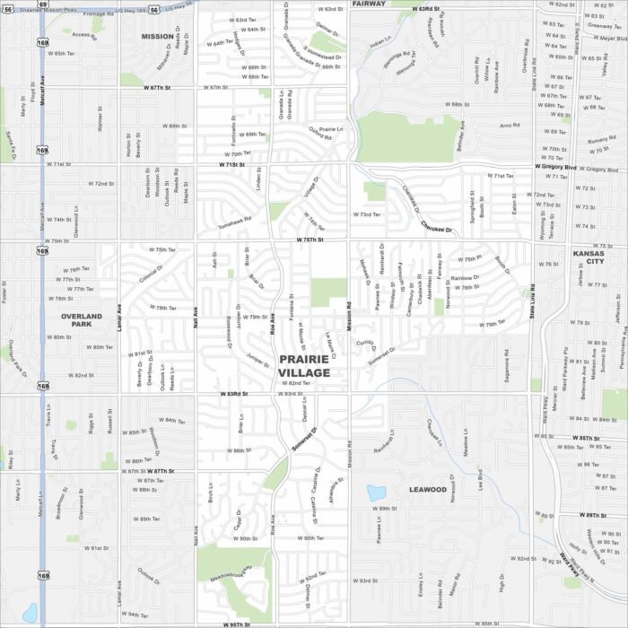
Set in Johnson County, Prairie Village is a planned community. This map highlights major roads, neighborhoods, and green spaces.
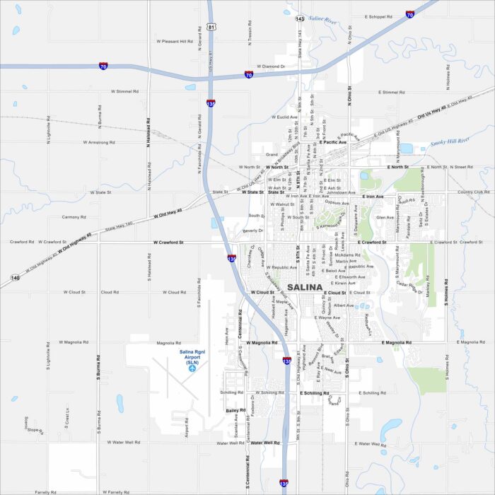
This street map of Salina makes it simple to explore. Downtown, local museums, and open roads all come together here.
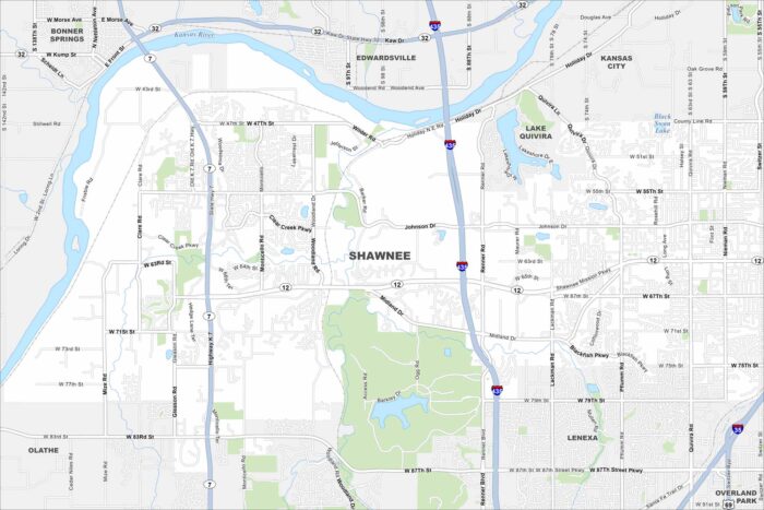
Our map of Shawnee shows you around this thriving Kansas City suburb. With parks, trails, and a growing downtown, there’s a lot to explore.
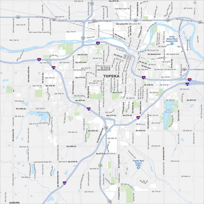
Topeka is the capital of Kansas with history on every corner. See how Topeka is connected through its parks and downtown streets.
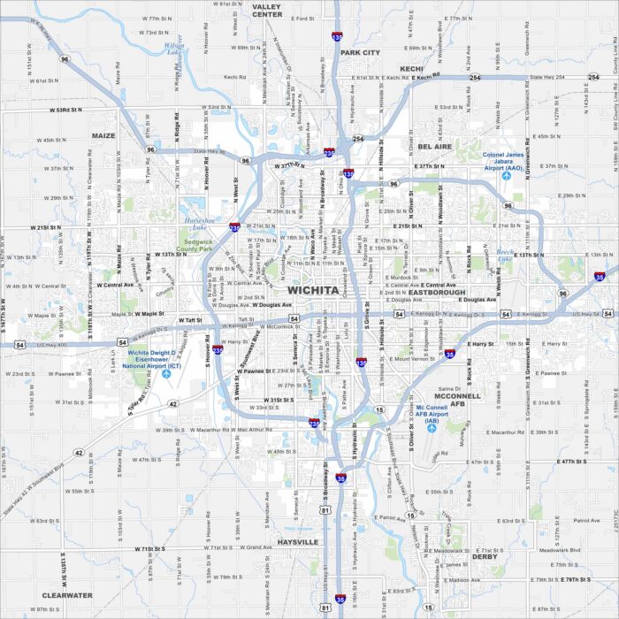
Take a look at our map of Wichita, the largest city in Kansas. Known as the “Air Capital,” it has a strong aviation history.