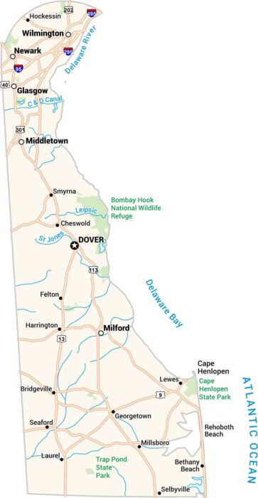
Delaware Physical Map
Delaware is flat. The state sits on the Atlantic Coastal Plain with barely any elevation. It’s mostly marshes, wetlands, and tidal zones.
Delaware is flat. The state sits on the Atlantic Coastal Plain with barely any elevation. It’s mostly marshes, wetlands, and tidal zones.
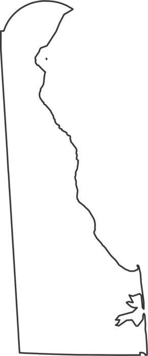
Our Delaware outline map displays Delaware Bay shaping the eastern shore. Up north, the border with Pennsylvania is a perfect curved arc.

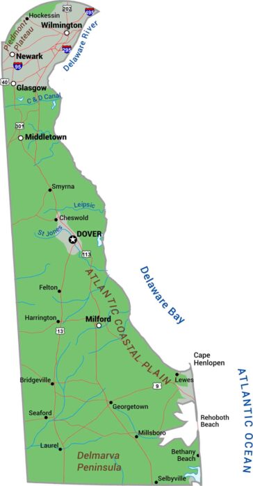
Delaware keeps it simple with just 3 counties. New Castle is in the north. Kent’s in the middle, and Sussex stretches down the coast
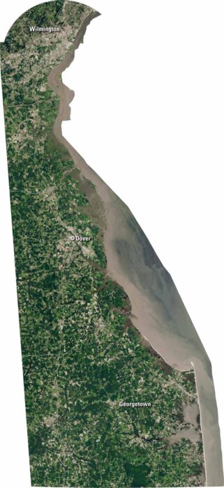
Delaware is small but full of detail. Our satellite map shows the coastline, rivers, and farmland. You’ll spot Wilmington, Dover, and beaches.
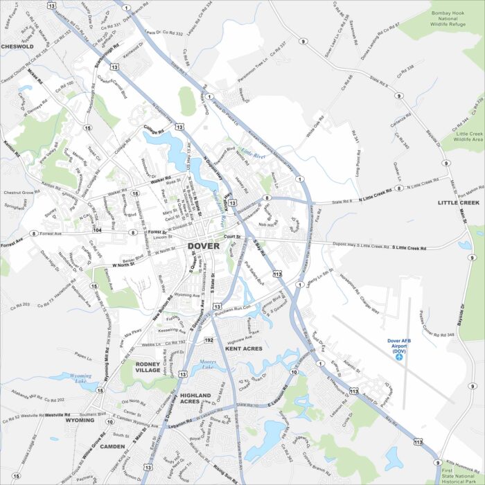
Explore our map of Dover in the heart of Delaware. You’ll see the St. Jones River flowing by and roadways linking it across the state.
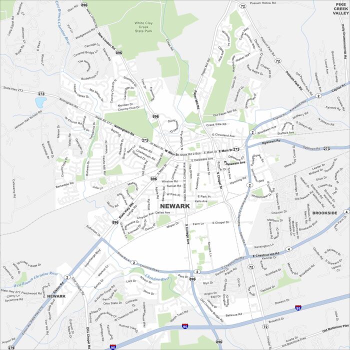
Our map of Newark highlights a small city anchored by the University of Delaware. The Christina River winds nearby and so does Interstate 95.
Our Delaware map shows a small state with a lot packed in. Highways link quiet towns to the busy corridor near Wilmington.
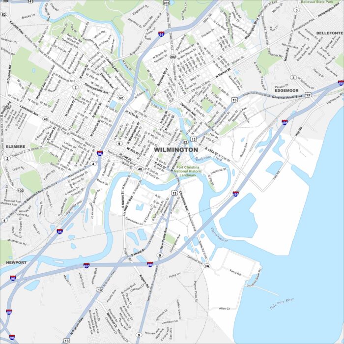
Our map of Wilmington shows its location at the Christina River and Brandywine Creek. Its riverfront and downtown core shape the city.