Strip District Map, Pittsburgh
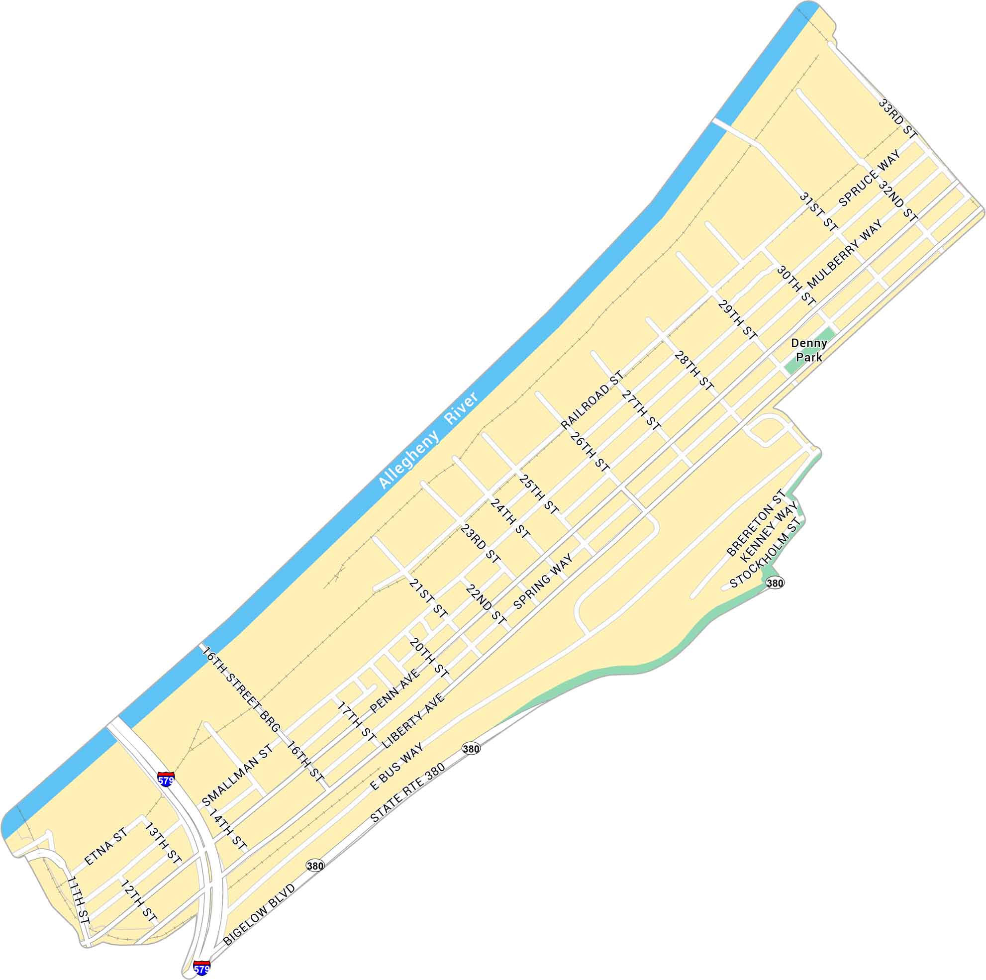
The Strip District stretches along the Allegheny River just northeast of downtown Pittsburgh. Our map highlights its highways, roads and parks.
Map Information
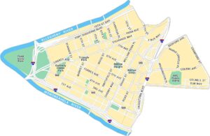
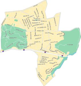
Pittsburgh Neighborhood Maps
See our neighborhood maps for a closer look of the city.
On the Map
Interstates/Highways: I-579, State Rte 380 Major Roads: Penn Ave, Liberty Ave, Smallman St, Bigelow Blvd, Railroad St, 16th St, 21st St, 31st St, 32nd St, 33rd St, 28th St, 26th St, 25th St, 24th St, 22nd St, 17th St, 14th St, 13th St, 12th St, 11th St Major Rivers: Allegheny River Parks: Denny ParkCity Maps of Pennsylvania
Here is our city map collection for all of Pennsylvania.


