Downtown Pittsburgh Map
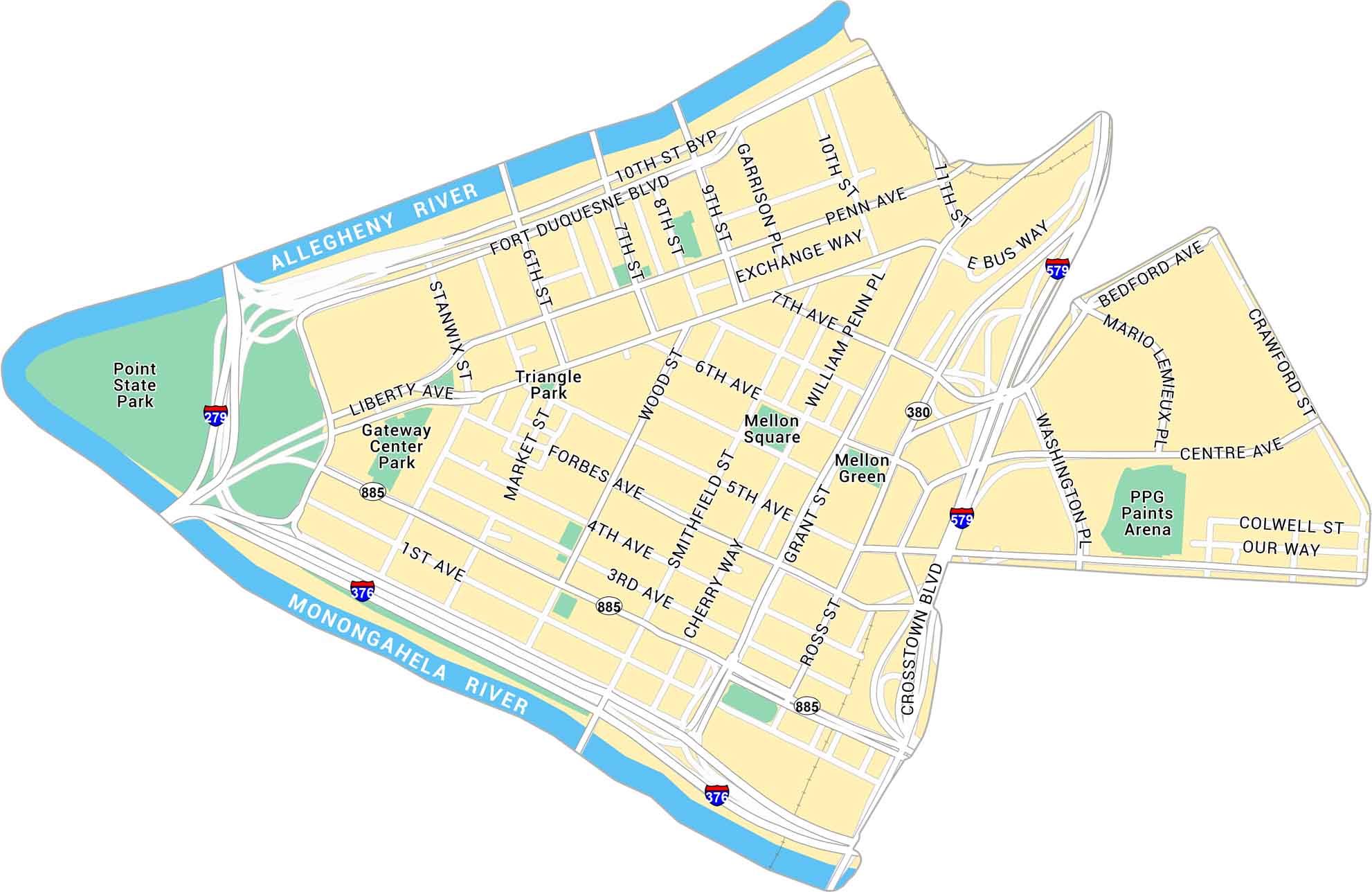
Explore Downtown Pittsburgh with our map, showing the point where the Allegheny and Monongahela Rivers meet. It’s a triangular core wrapped in steel and skyline views.
Map Information
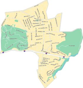
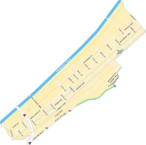
Pittsburgh Neighborhood Maps
See our neighborhood maps for a closer look of the city.
On the Map
Interstates/Highways: I-279, I-376, I-579, State Rte 885, State Rte 380 Major Roads: Liberty Ave, Grant St, Penn Ave, Fort Duquesne Blvd, Blvd of the Allies, Smithfield St, Wood St, Stanwix St, Market St, 6th Ave, 5th Ave, Forbes Ave, 4th Ave, 3rd Ave, 1st Ave, Ross St, Crosstown Blvd, Washington Pl, Centre Ave, 10th St Major Rivers: Allegheny River, Monongahela River Parks: Point State Park, Gateway Center Park, Triangle Park Landmarks: Mellon Square, Mellon Green, PPG Paints ArenaCity Maps of Pennsylvania
Here is our city map collection for all of Pennsylvania.


