Map of St. Helens, Oregon
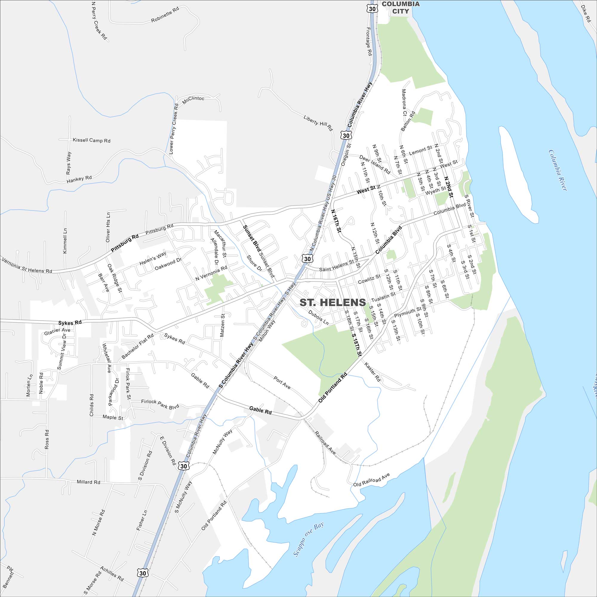
Our map of St. Helens highlights its setting along the Columbia River. The town has historic charm and mountain views on clear days. It also straddles the Washington state border to the east.
Map Information
On the Map
Interstates/Highways: US Hwy 30 Major Roads: Columbia River Hwy, Columbia Blvd, Gable Rd, Old Portland Ave, Pittsburg Rd, Vernonia St, Sykes Rd, Millard Rd, Saint Helens St, Sunset Blvd, Milton Way, Shore Dr, Bachelor Flat Rd, Mcnulty Way, Oregon St, Southworth Creek Rd, Robinette Rd Lakes and Reservoirs: Scappoose Bay Major Rivers: Columbia River Nearby Communities: Columbia CityOregon State Maps
Here is our state map collection of Oregon.


City Maps of Oregon
Get to know Portland and Oregon’s urban areas.


