Map of Speedway, Indiana
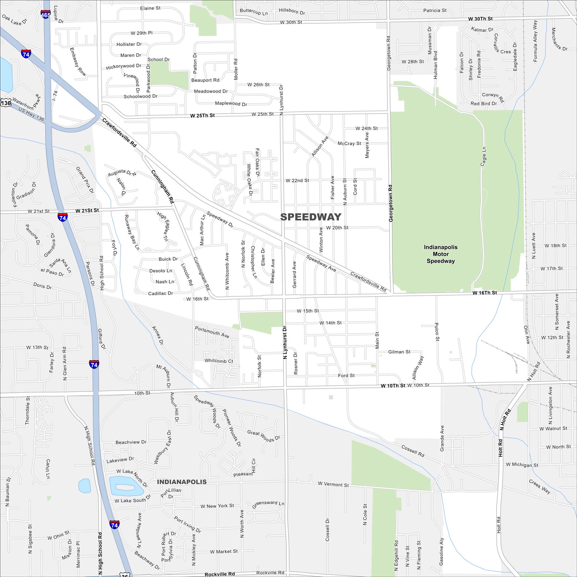
Speedway is home to the Indianapolis Motor Speedway, a world-famous racing venue. Our map helps you find your way through the town and its historic track.
Indiana State Maps
Study about Indiana with our map collection


Map Information
On the Map
Interstates/Highways: I-74, I-465, US Hwy 136 Major Roads: Crawfordsville Rd, 10th St, 16th St, 25th St, High School Rd, Lynhurst Dr, Georgetown Rd, Main St, 30th St, Cunningham Rd, Auburn St, Holt Rd, Michigan St, Vermont St, New York St, Rockville Rd, Fisher Ave, Allison Ave, Moller Rd, Patton Dr Lakes and Reservoirs: Lake North, Lake South Parks and Preserves: Indianapolis Motor Speedway Nearby Communities: IndianapolisIndiana City Maps
Here are our maps of Indianapolis and Indiana cities


