Map of Snoqualmie, Washington
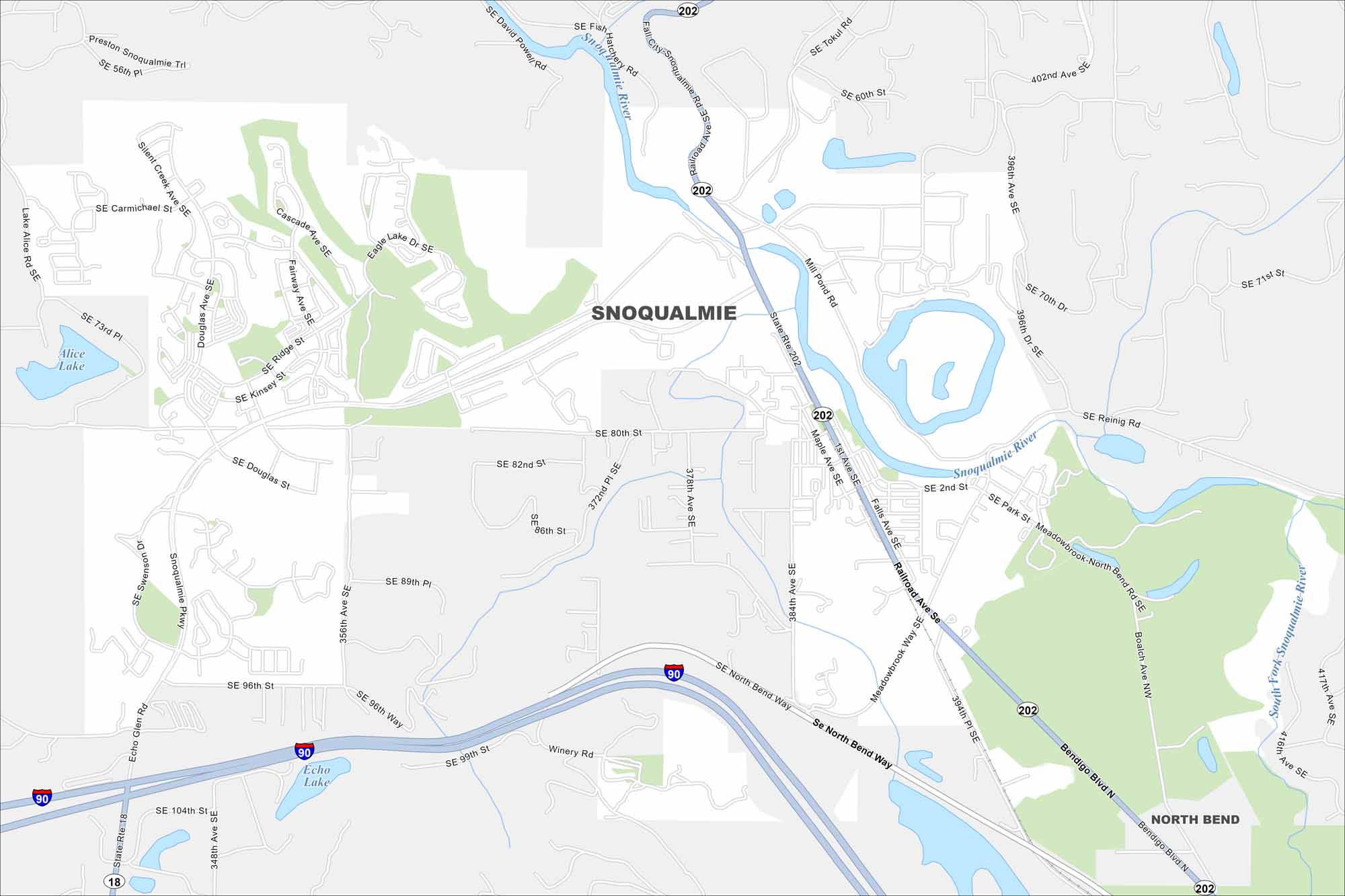
Our map of Snoqualmie highlights the town near the falls. Outdoor trails and mountain scenery make it a popular stop east of Seattle.
Map Information
On the Map
Interstates/Highways: I-90, State Rte 202, State Rte 18 Major Roads: Snoqualmie Pkwy, North Bend Way, Bendigo Blvd, Falls Ave, Railroad Ave, Maple Ave, Meadowbrook Way, Tokul Rd, Reinig Rd, Boalch Ave, 96th St, 80th St, 384th Ave, 396th Ave, 402nd Ave, 356th Ave, Douglas St, Kinsey St, Ridge St, Fairway Ave Lakes and Reservoirs: Alice Lake, Echo Lake Major Rivers: Snoqualmie River, South Fork Snoqualmie River Nearby Communities: North BendWashington State Maps
Move through the Evergreen State with our map collection.


City Maps of Washington
Check out our city maps of Washington


