Map of Shoreline, Washington
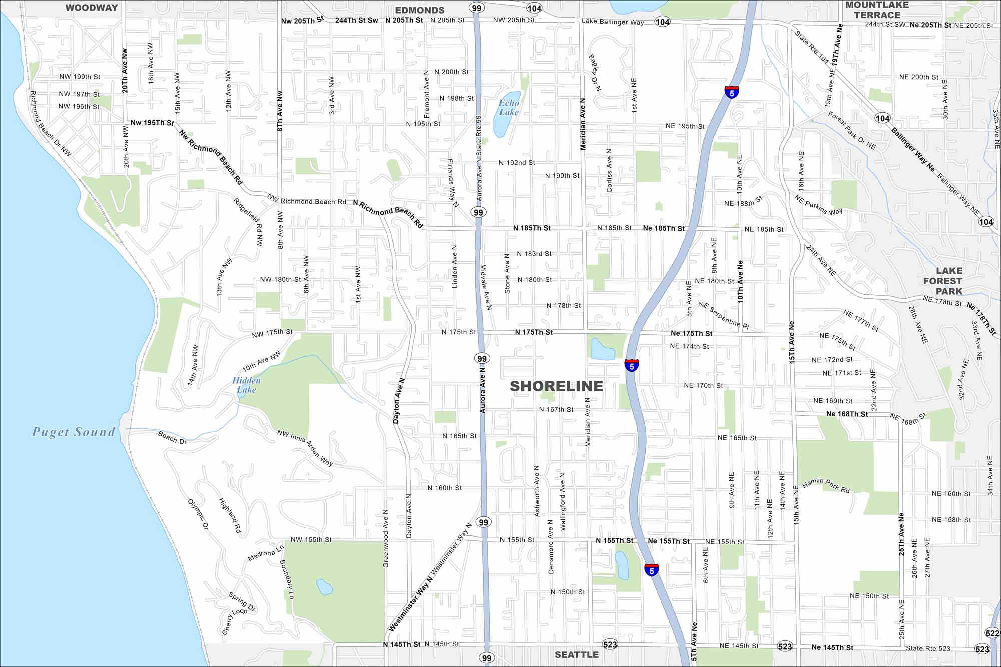
Get oriented with our Shoreline, Washington map. Just north of Seattle, the city has beaches, trails, and suburban neighborhoods.
Map Information
On the Map
Interstates/Highways: I-5, State Rte 99, State Rte 523, State Rte 522, State Rte 104 Major Roads: Aurora Ave, Ballinger Way, Lake Ballinger Way, Meridian Ave, Richmond Beach Rd, Westminster Way, 15th Ave, 155th St, 175th St, 185th St, 205th St, 10th Ave, 24th Ave, 35th Ave, Greenwood Ave, Dayton Ave, 8th Ave, 5th Ave, 20th Ave, 145th St Lakes and Reservoirs: Puget Sound, Lake Ballinger, Echo Lake, Hidden Lake Nearby Communities: Seattle, Woodway, Edmonds, Mountlake Terrace, Lake Forest ParkWashington State Maps
Move through the Evergreen State with our map collection.


City Maps of Washington
Check out our city maps of Washington


