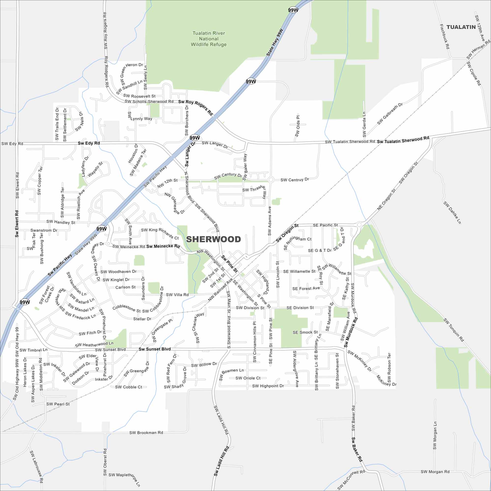
Map of Sherwood, Oregon
Find your bearings in Sherwood with our road map. This small city near Portland is known for wineries, farms, and quiet neighborhoods.
Map Information
On the Map
Interstates/Highways: US Hwy 99W Major Roads: Pacific Hwy, Tualatin Sherwood Rd, Roy Rogers Rd, Edy Rd, Sherwood Blvd, Langer Dr, Meinecke Rd, Sunset Blvd, Borchers Rd, Elwert Rd, Handley St, Villa Rd, Railroad Ave, Washington St, Main St, Ladd Hill Rd, Brookman Rd, Pine St, Oregon St, Murdock Rd Parks and Preserves: Tualatin River National Wildlife RefugeOregon State Maps
Here is our state map collection of Oregon.


City Maps of Oregon
Get to know Portland and Oregon’s urban areas.


