San Antonio River Walk Map
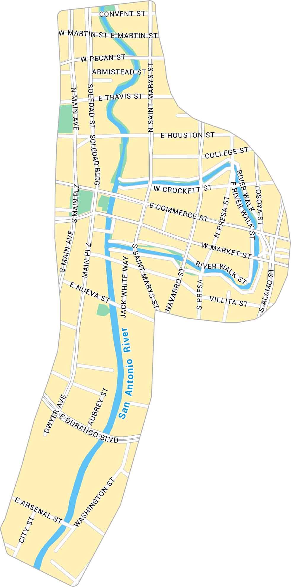
The San Antonio River Walk winds through the heart of downtown. Our map follows the curves of the San Antonio River as it flows past historic landmarks.
Map Information
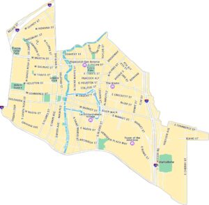
San Antonio Neighborhood Maps
See our neighborhood maps for a closer look of the city.
On the Map
Major Roads: Commerce St, Market St, Houston St, Alamo St, Saint Marys St, Main Ave, Soledad St, Navarro St, Presa St, Losoya St, Villita St, Nueva St, Durango Blvd, Arsenal St, City St, Washington St, Jack White Way, Aubrey St, Dwyer Ave, Convent St Major Rivers: San Antonio RiverCity Maps of Texas
Explore our map collection of Texas cities.


