Map of Roseburg, Oregon
Get oriented with our Roseburg, Oregon map. It highlights the downtown, neighborhoods, and the riverside. Everything is shown in a clear way for this city in Umpqua River Valley.
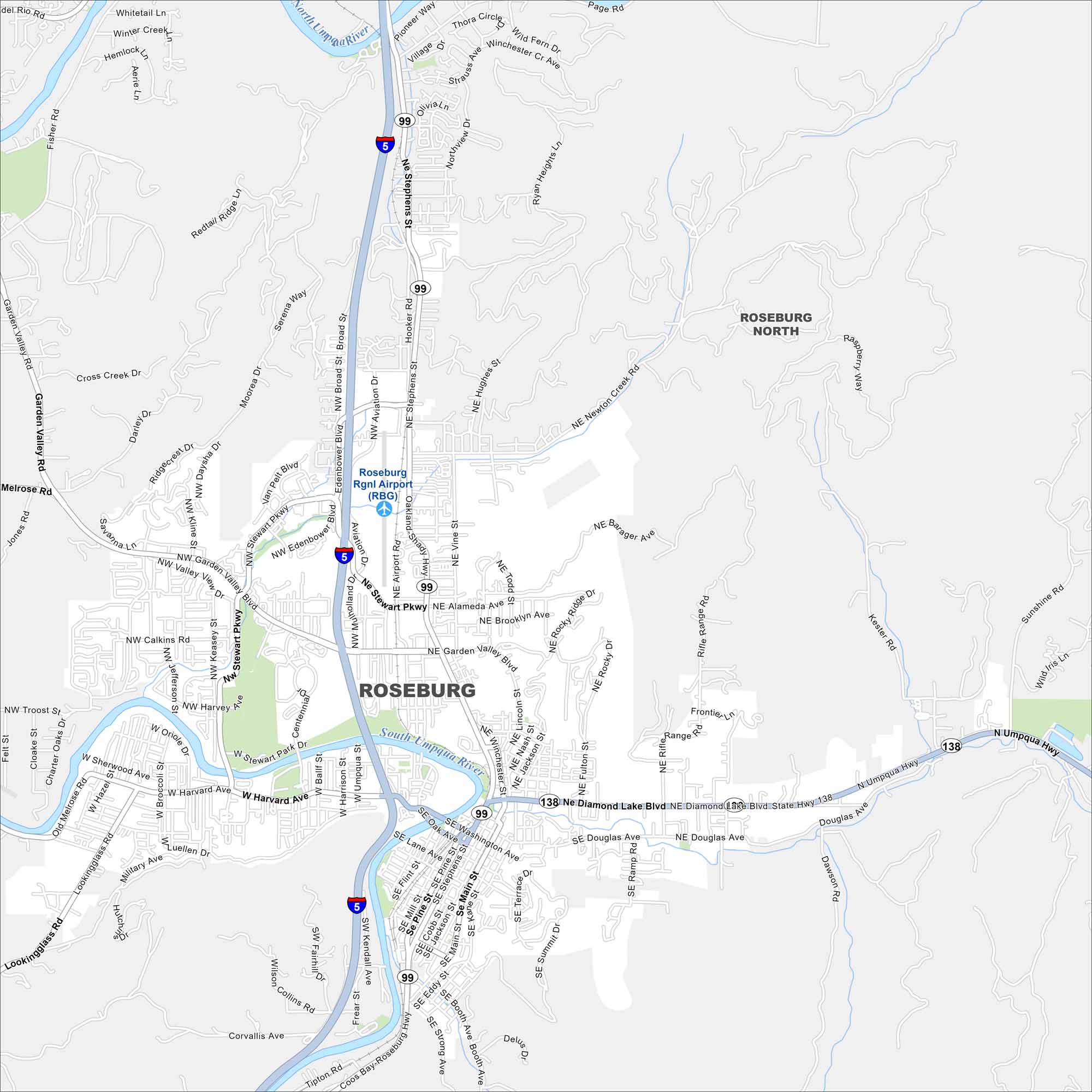
Map Information
On the Map
Interstates/Highways: I-5, State Hwy 99, State Hwy 138 Major Roads: Stewart Pkwy, Garden Valley Blvd, Harvard Ave, Stephens St, Diamond Lake Blvd, Madrone St, Oak Ave, Washington Ave, Pine St, Douglas Ave, Military Ave, Keasey St, Troost Dr, Newton Creek Rd, Hooked Rd, Aviation Dr, Edenbower Blvd, Broad St, Melrose Rd, Lookingglass Rd Airports: Roseburg Rgnl Airport (RBG) Major Rivers: North Umpqua River, South Umpqua River Nearby Communities: Roseburg NorthOregon State Maps
Here is our state map collection of Oregon.


City Maps of Oregon
Get to know Portland and Oregon’s urban areas.


