Map of Richland, Washington
Situated along the Columbia River, Richland is one of the Tri-Cities. Our map helps you follow the roads that link parks, neighborhoods, and riverfront spots.
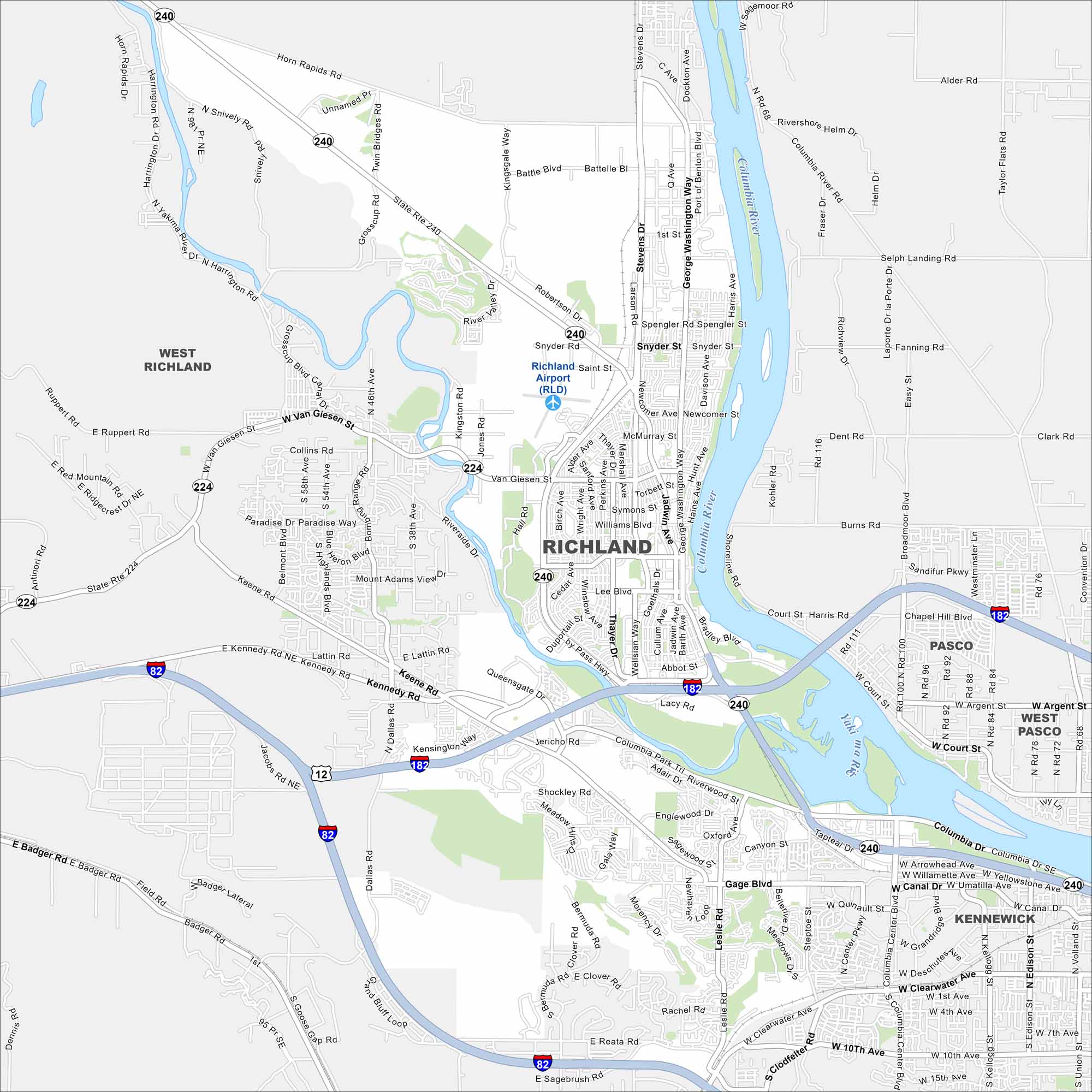
Map Information
On the Map
Interstates/Highways: I-82, I-182, US Hwy 12, State Rte 240, State Rte 224 Major Roads: George Washington Way, Stevens Dr, Bypass Hwy, Queensgate Dr, Van Giesen St, Keene Rd, Kennedy Rd, Duportail St, Williams Blvd, Lee Blvd, Wright Ave, Saint St, Thayer Dr, Swift Blvd, Jadwin Ave, Wellsian Way, Abbot St, Lacy Rd, Argent Rd, Court St Airports: Richland Saint St Airport (RLD) Major Rivers: Columbia River, Yakima River Nearby Communities: West Richland, Pasco, West Pasco, KennewickWashington State Maps
Move through the Evergreen State with our map collection.


City Maps of Washington
Check out our city maps of Washington


