Map of Redmond, Oregon
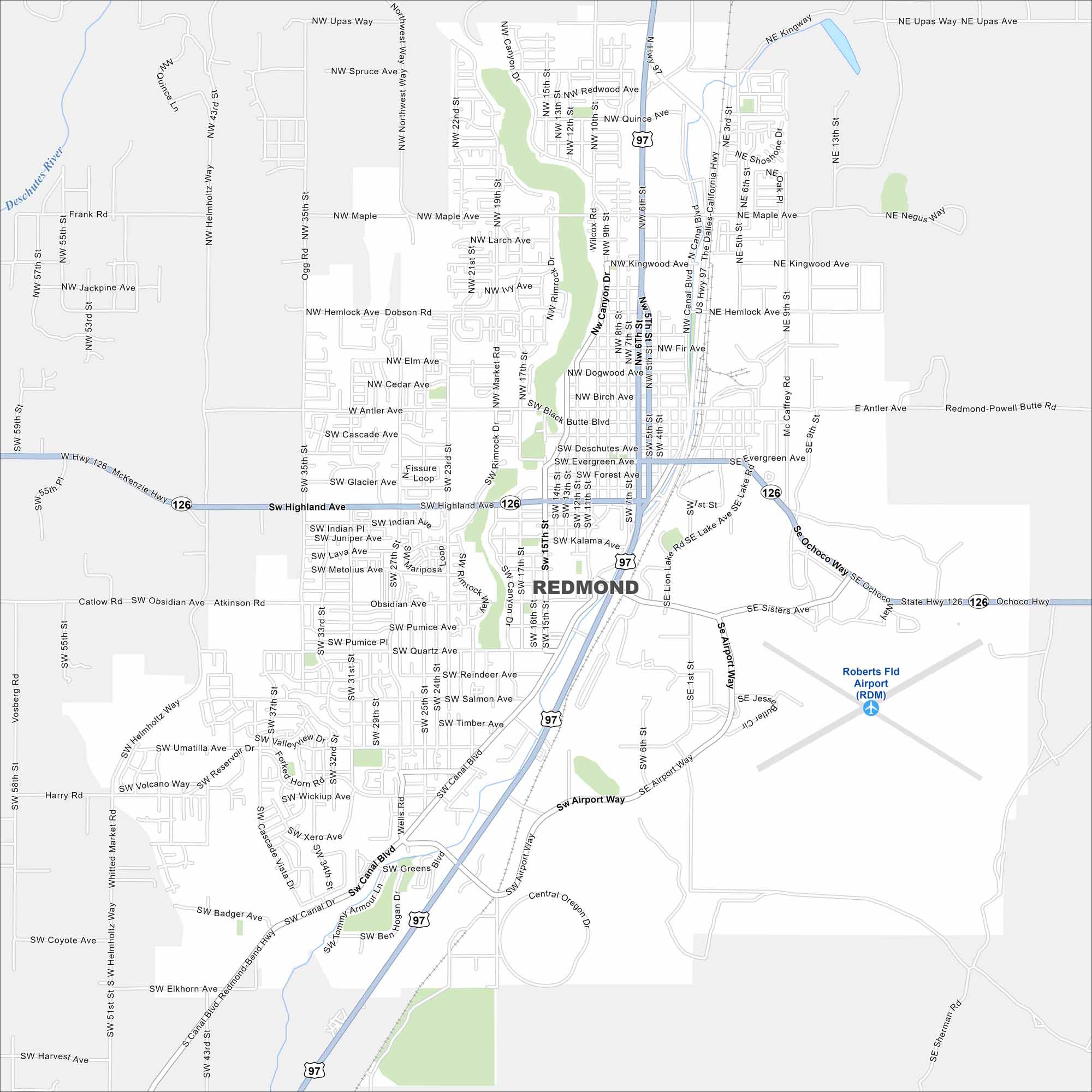
In central Oregon, Redmond sits on a high desert plateau. Our map of Redmond outlines the roads through its neighborhoods, parks, and airport. The city has become a hub for outdoor recreation and craft beer.
Map Information
On the Map
Interstates/Highways: US Hwy 97, State Hwy 126 Major Roads: Highland Ave, Canal Blvd, Glacier Ave, Deschutes Ave, Evergreen Ave, Antler Ave, Negus Way, Airport Way, Veterans Way, Helmholtz Way, 17th St, 15th St, 6th St, 5th St, 9th St, Salmon Ave, Obsidian Ave, Helmholtz Way, Maple Ave, Kingwood Ave Airports: Roberts Fld Airport (RDM) Major Rivers: Deschutes RiverOregon State Maps
Here is our state map collection of Oregon.


City Maps of Oregon
Get to know Portland and Oregon’s urban areas.


