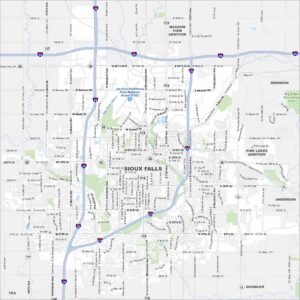
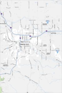
Map of Rapid City, South Dakota
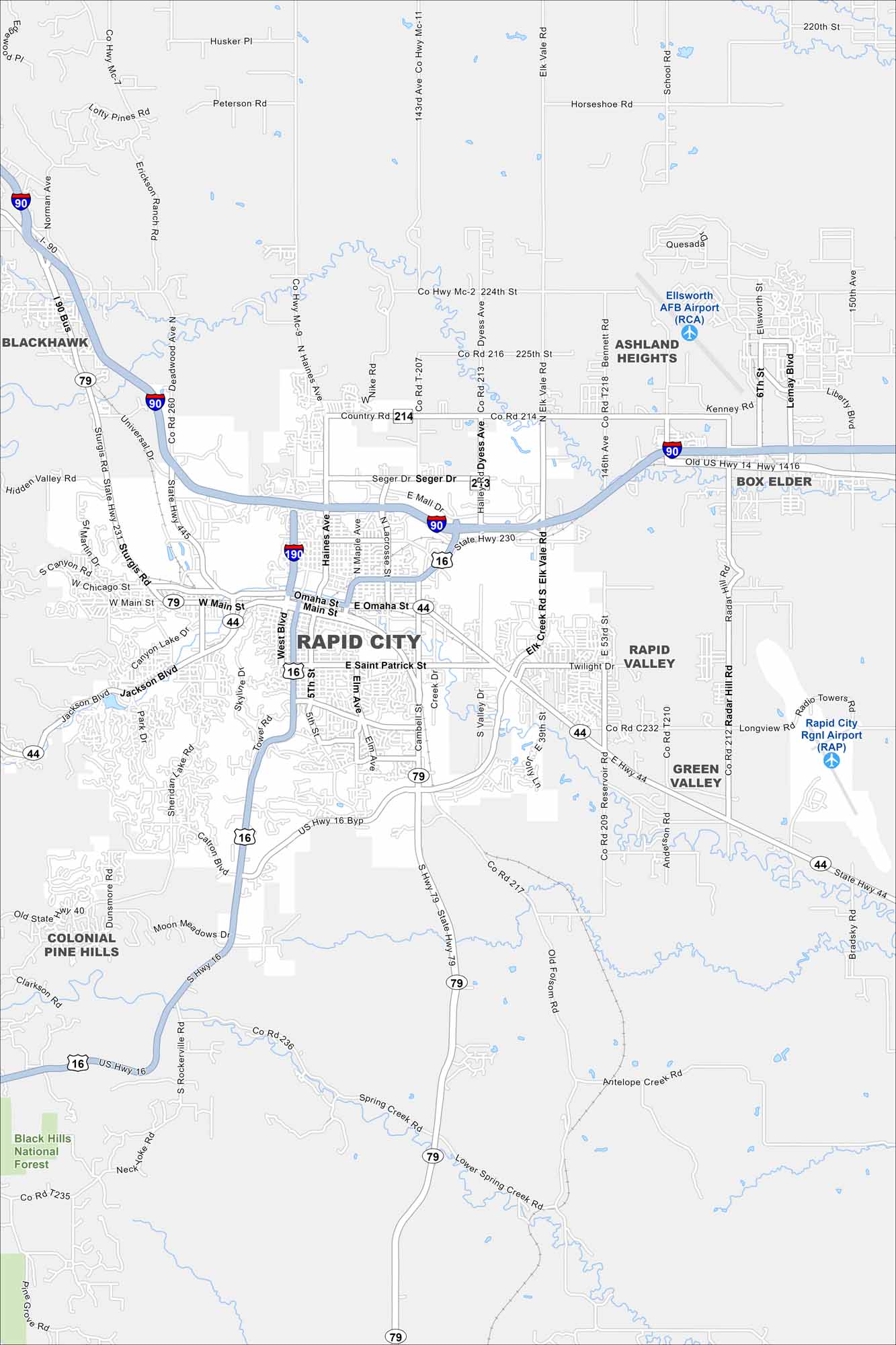
Rapid City is the gateway to Mount Rushmore and the Black Hills. Our map shows how the city spreads out from its compact downtown. The “City of Presidents” features bronze statues of U.S. leaders along its streets.
Map Information
On the Map
Interstates/Highways: I-90, US Hwy 14, US Hwy 16, State Rte 44, State Rte 79, State Rte 231, State Rte 445 Major Roads: Main St, Omaha St, St Patrick St, Mt Rushmore Rd, Campbell St, Lacrosse St, Haines Ave, West Blvd, Jackson Blvd, Sheridan Lake Rd, Catron Blvd, Elk Vale Rd, E Mall Dr, Seger Dr, Deadwood Ave, Dyess Ave, Reservoir Rd, Radar Hill Rd, 5th St, Elm Ave Airports: Rapid City Rgnl Airport (RAP), Ellsworth AFB Airport (RCA) Parks and Preserves: Black Hills National Forest Nearby Communities: Blackhawk, Ashland Heights, Box Elder, Rapid Valley, Green Valley, Colonial Pine HillsSouth Dakota State Maps
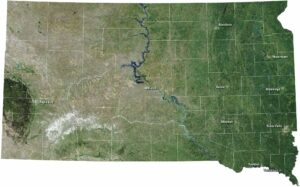
View maps from the prairies to the Black Hills.
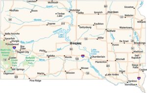


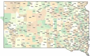
City Maps of South Dakota
Here’s where South Dakota comes into focus