Map of Poulsbo, Washington
Poulsbo sits on Liberty Bay with marinas and waterfront streets. Forested hills rise behind the town. Scandinavian heritage is visible in local architecture and shops.
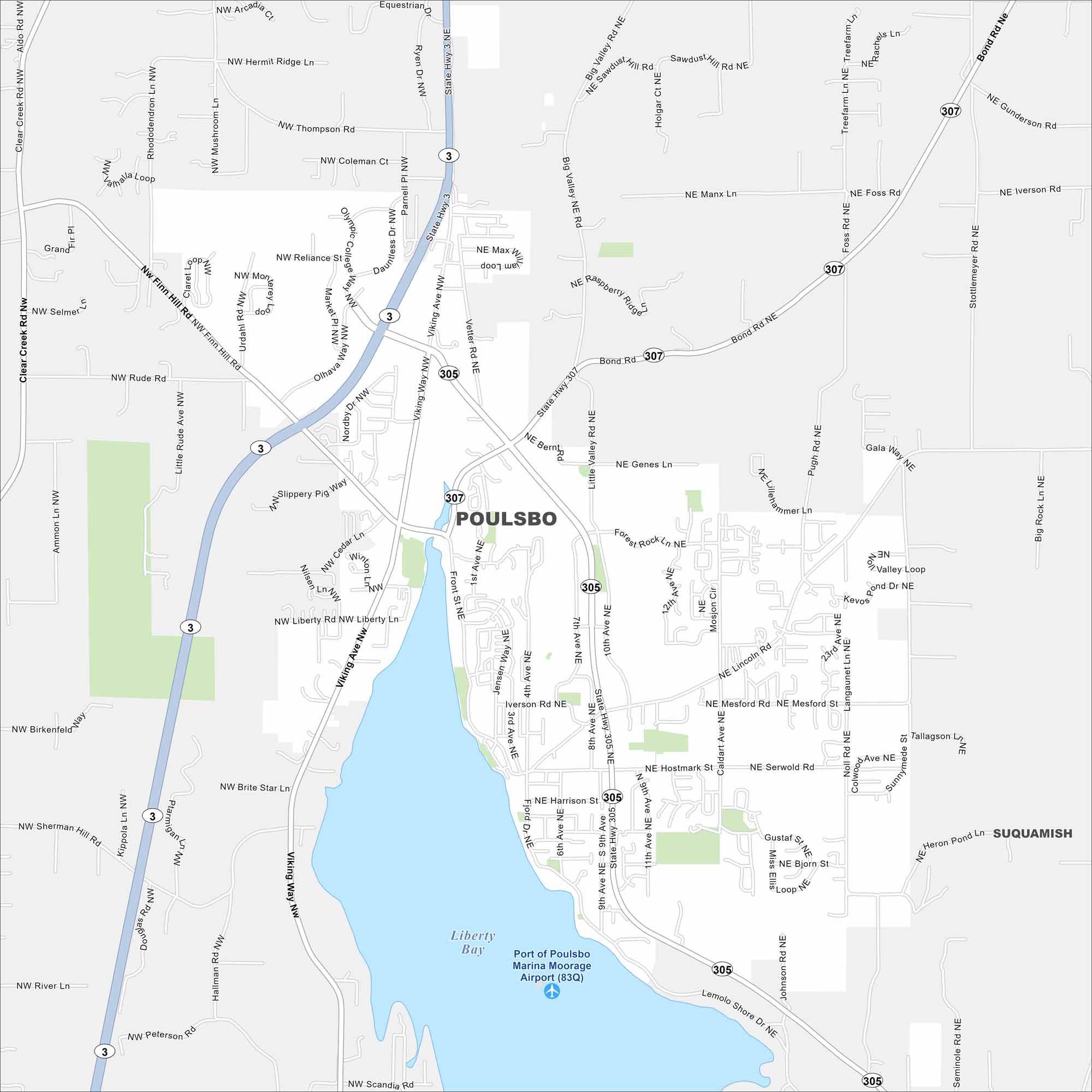
Map Information
On the Map
Interstates/Highways: State Hwy 3, State Rte 305, State Hwy 307 Major Roads: Viking Ave, Front St, Bond Rd, Liberty Rd, Jensen Way, Fjord Dr, Iverson Rd, Hostmark St, Harrison St, Finn Hill Rd, Olhava Way, Reliance St, Thompson Rd, Foss Rd, Big Valley Rd, Stottlemeyer Rd, Gunderson Rd, Lincoln Rd, Mesford St, Serwold Rd Lakes and Reservoirs: Liberty Bay Nearby Communities: SuquamishWashington State Maps
Move through the Evergreen State with our map collection.


City Maps of Washington
Check out our city maps of Washington


